Not recommended
Unknown trails
These walks are not on the classified list updated on 2 October 2026, read here on 12 October 2026. They are not a tourist set. The list has 128 names. Distance, difficulty, time, climb, and the two ends are the published figures. For levada routes, the page also records the water intake (Madre), terminus (Fim), full channel length, local alias names, and field photographs. A field stays blank when nothing was published.
Porto Santo walks are left out. Classified PR routes that do not yet have a brief here stay off this page. A name that was never written on a public web page is left off.
None of these figures is an official open or closed line. The hiking map stays with the classified PR routes.
Showing 128 of 128 walks.
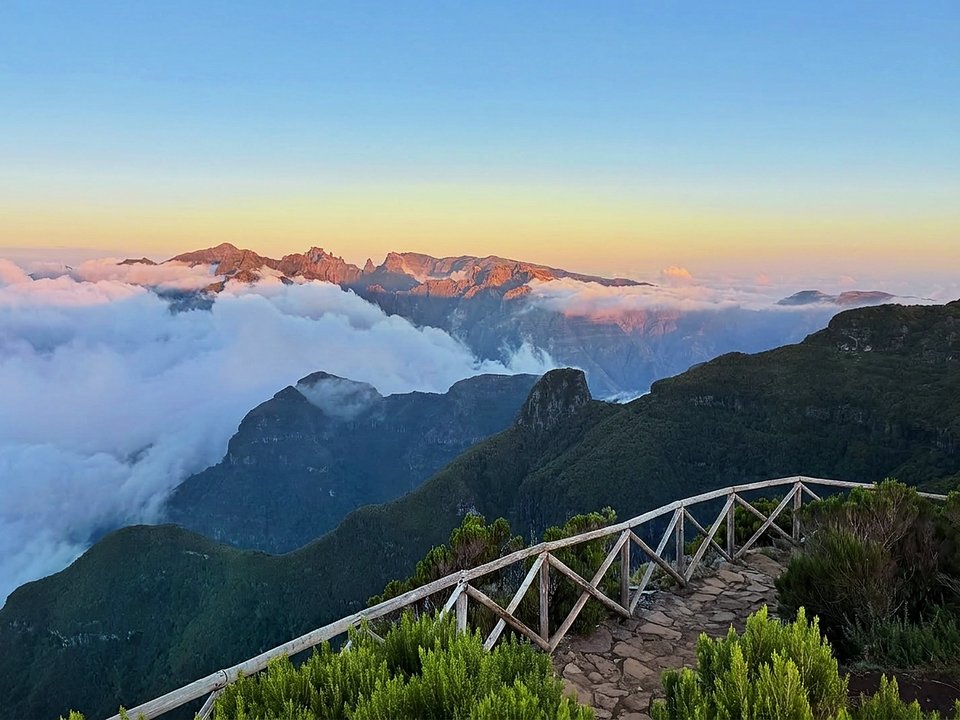
Bica da Cana to Pico Ruivo do Paul, Not listed
Bica da Cana — Pico Ruivo do Paul is not on the IFCN classified list.
- Distance
- Not printed
- Difficulty
- Not printed
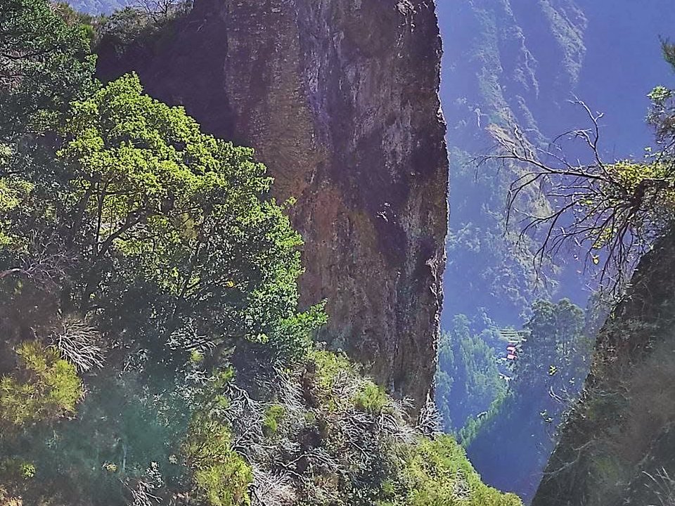
Boca das Torrinhas, Not listed
Boca das Torrinhas is 13.0 km, hard alpine pass. Not on the IFCN list.
- Distance
- 13.0 km
- Difficulty
- Hard
- Time
- 5 h 00 min
- Elevation
- 950 m ascent / 1,400 m descent
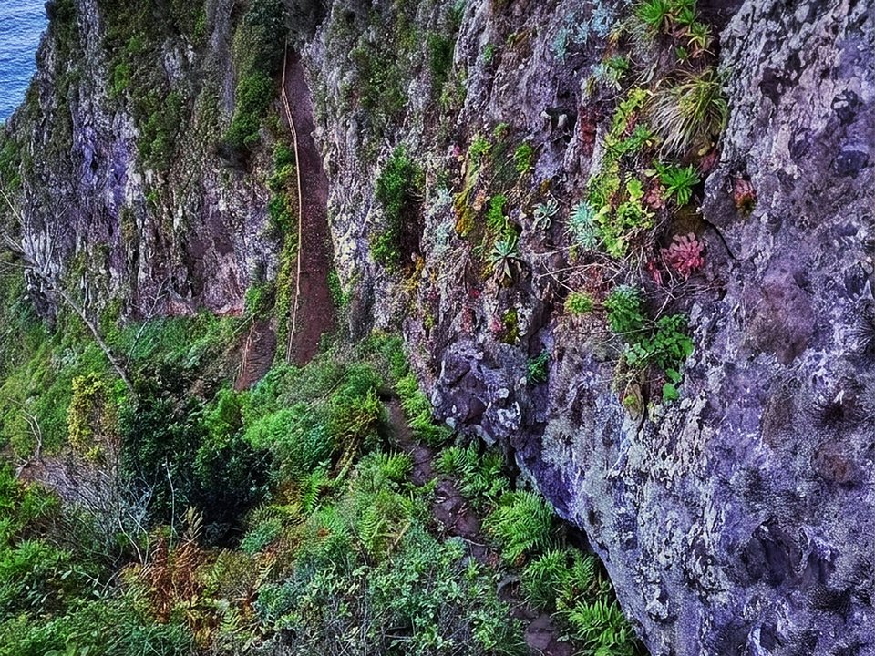
Caminho da Entrosa, Not listed
Caminho da Entrosa is 4.8 km, moderate coastal path. Not on the IFCN list.
- Distance
- 4.8 km
- Difficulty
- Moderate
- Time
- 1 h 50 min
- Elevation
- 250 m ascent and descent
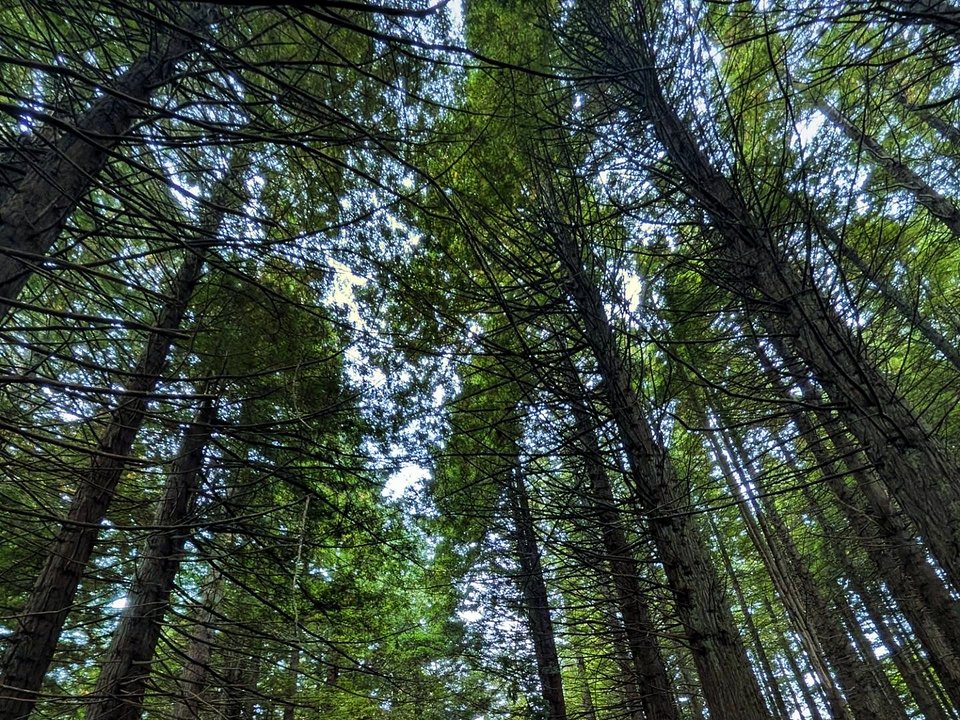
Caminho Florestal da Boca das Voltas, Not listed
Caminho Florestal da Boca das Voltas is 1.9 km each way, moderate. Not on the IFCN list.
- Distance
- 1.9 km each way
- Difficulty
- Moderate
- Time
- 2 h
- Elevation
- 221 m ascent
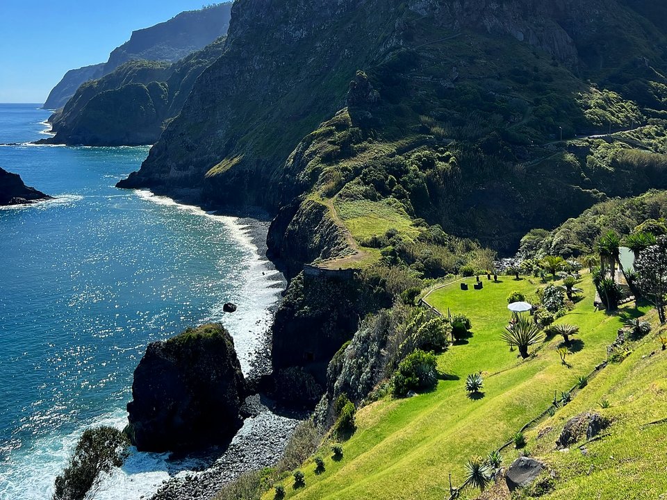
Caminho Real de Boaventura, Not listed
Caminho Real de Boaventura is 1.9 km each way, hard. Not on the IFCN list.
- Distance
- 1.9 km each way
- Difficulty
- Hard
- Time
- 1 h 13 min each way
- Elevation
- 388 m ascent
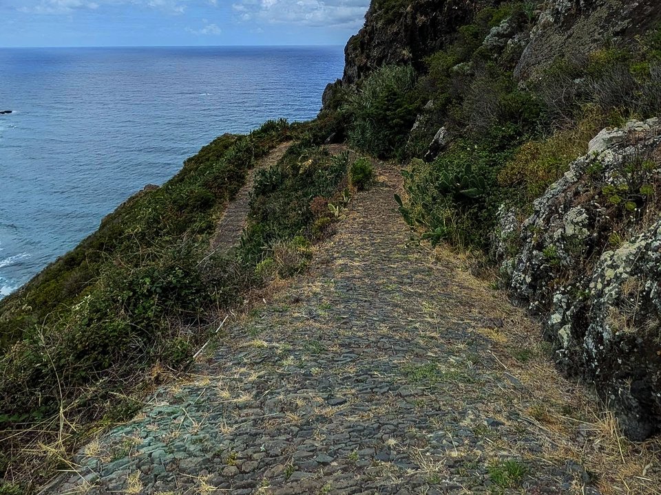
Caminho Real nº 23, Achada do Gramacho, Not listed
Caminho Real nº 23, Achada do Gramacho is 1.1 km, moderate. Not on the IFCN list.
- Distance
- 1.1 km
- Difficulty
- Moderate
- Time
- 21 min
- Elevation
- 38 m ascent, 261 m descent
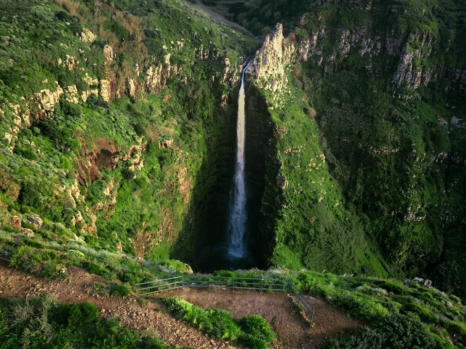
Cascata da Garganta Funda, Not listed
Cascata da Garganta Funda is 0.6 km each way, easy. Not on the IFCN list.
- Distance
- 0.6 km each way
- Difficulty
- Easy
- Time
- 22 min each way
- Elevation
- 58 m ascent
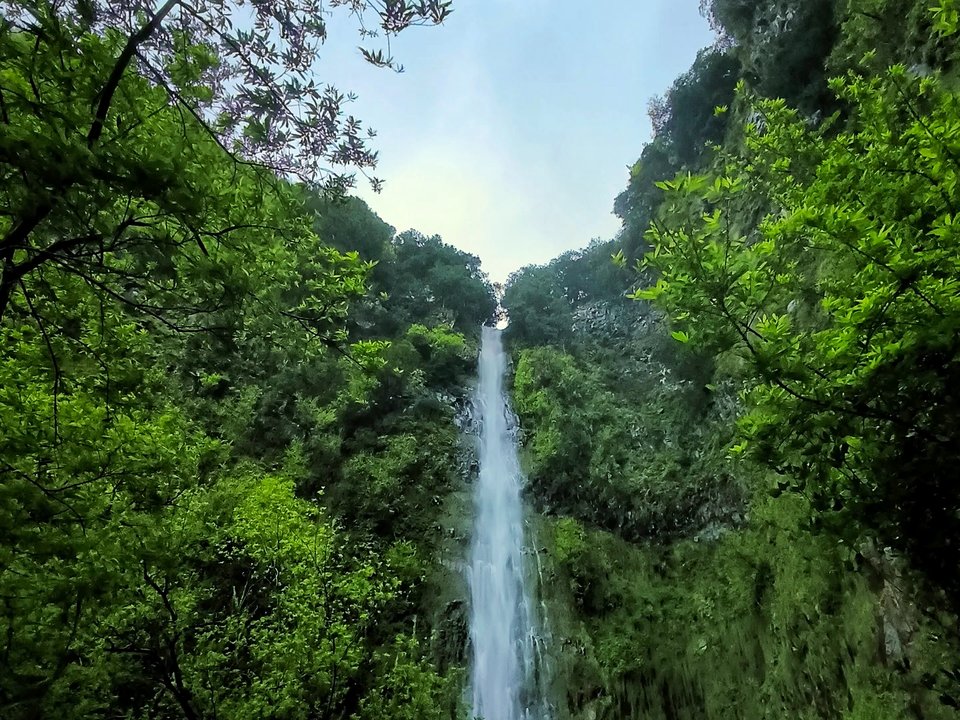
Cascata de Água d'Alto, Not listed
No length is printed. Not on the IFCN list.
- Distance
- Not printed
- Difficulty
- Not printed
- Time
- 15 min
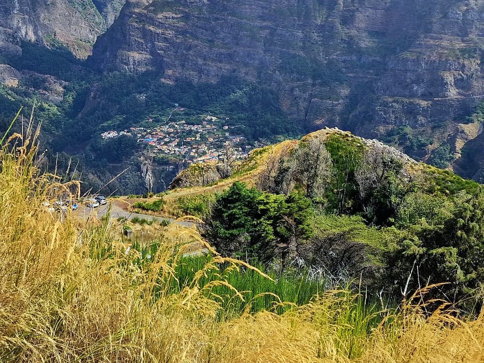
Chão dos Terreiros, Not listed
Chão dos Terreiros is 5.5 km, moderate mountain ridge walk. Not on the IFCN list.
- Distance
- 5.5 km
- Difficulty
- Moderate
- Time
- 2 h 00 min
- Elevation
- 300 m ascent
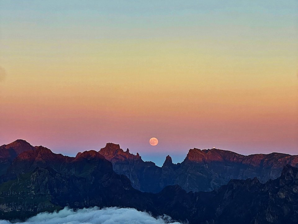
Circuito da Bica da Cana, Not listed
Circuito da Bica da Cana is 3.4 km loop, hard. Not on the IFCN list.
- Distance
- 3.4 km loop
- Difficulty
- Hard
- Time
- 1 h 25 min
- Elevation
- 78 m ascent, 232 m descent
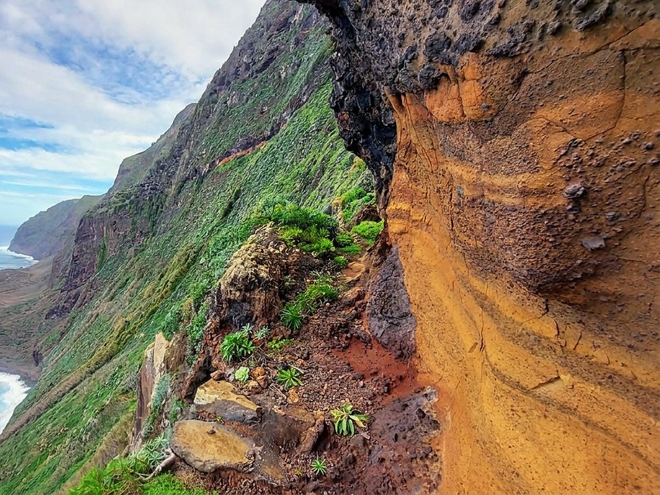
Fajã da Quebrada Nova, Not listed
Fajã da Quebrada Nova is 4.2 km, demanding cliff path. Not on the IFCN list.
- Distance
- 4.2 km
- Difficulty
- Demanding
- Time
- 1 h 40 min
- Elevation
- 450 m descent and ascent
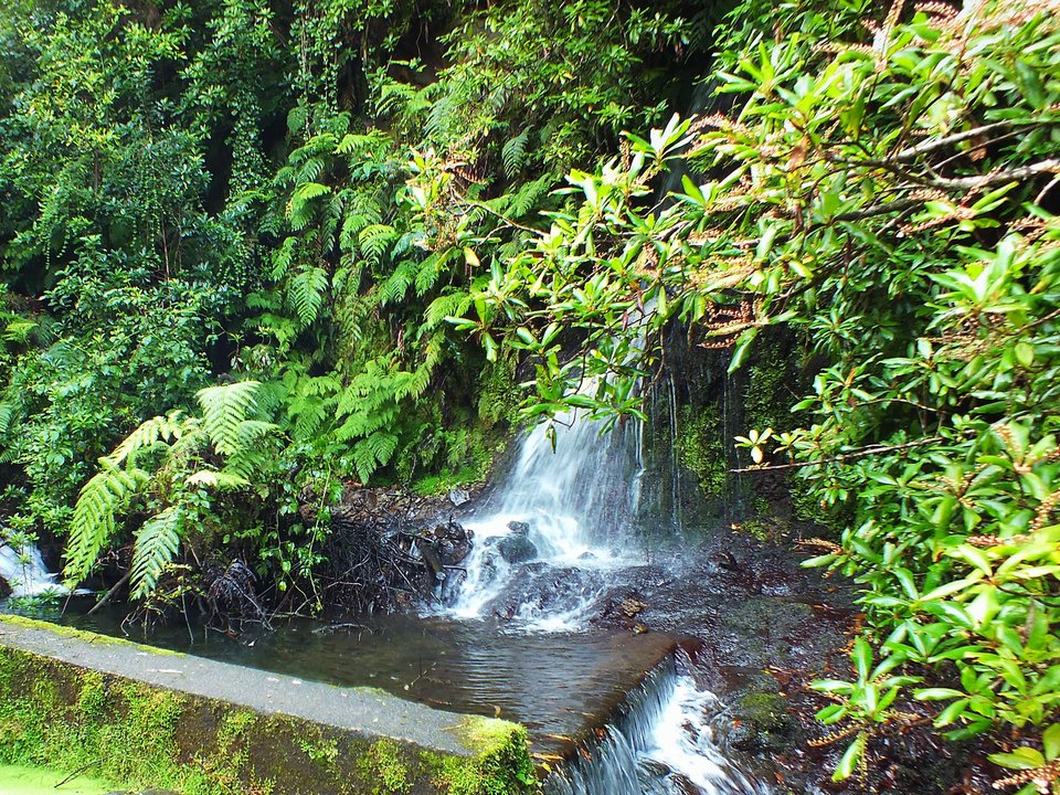
Levada da Achada Grande (Levada Nova da Boaventura), Not listed
Also known as: Levada Nova da Boaventura
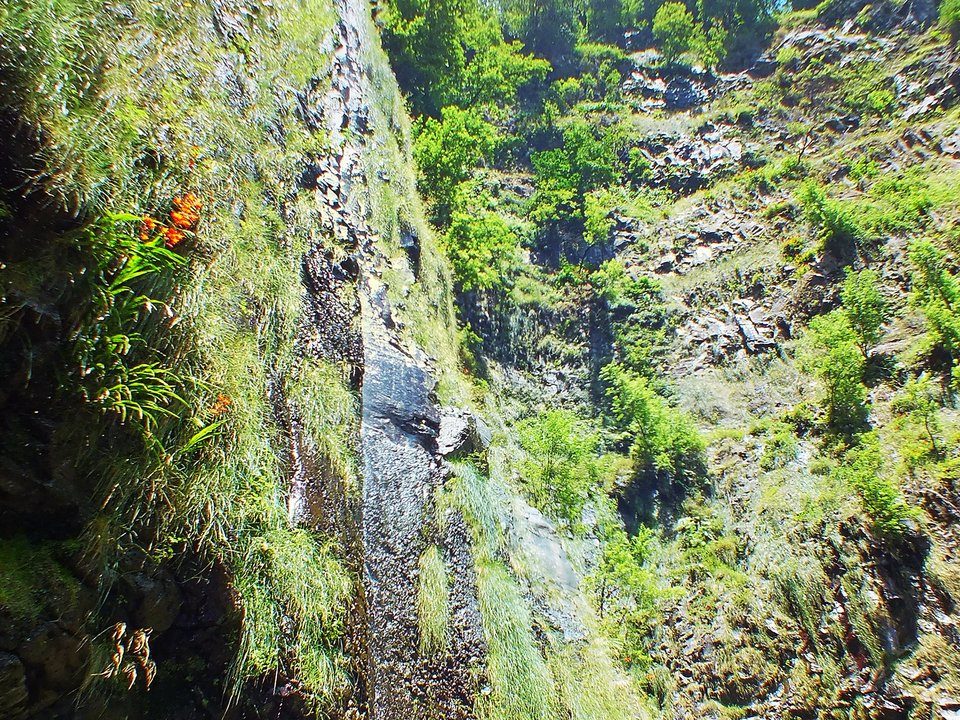
Levada da Achada Grande is an unclassified 5 km levada channel in São Vicente running from Ribeira dos Moinhos (500 m) to Near Lombo do Urzal, Boaventura (470 m). Not on the IFCN recommended PR list.
- Distance
- 5 km (channel length)
- Difficulty
- Not printed
- Elevation
- 30 m drop (500 m to 470 m)
- Channel (Madre → Fim)
- Ribeira dos Moinhos (500 m) → Near Lombo do Urzal, Boaventura (470 m) (5 km)
Levada da Água de Alto, Not listed
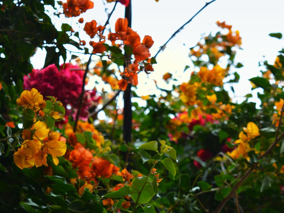
Levada da Água de Alto is an unclassified 4 km levada channel in Santana running from Ribeira da Abelheira (360 m) to Fajã do Mar, Faial (300 m). Not on the IFCN recommended PR list.
- Distance
- 4 km (channel length)
- Difficulty
- Not printed
- Elevation
- 60 m drop (360 m to 300 m)
- Channel (Madre → Fim)
- Ribeira da Abelheira (360 m) → Fajã do Mar, Faial (300 m) (4 km)
Levada da Azenha, Not listed
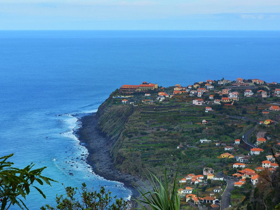
Levada da Azenha is an unclassified 2.4 km levada channel in Santa Cruz running from Ribeira do Caniço (295 m) to Sítio do Livramento, Caniço (240 m). Not on the IFCN recommended PR list.
- Distance
- 2.4 km (channel length)
- Difficulty
- Not printed
- Elevation
- 55 m drop (295 m to 240 m)
- Channel (Madre → Fim)
- Ribeira do Caniço (295 m) → Sítio do Livramento, Caniço (240 m) (2.4 km)
Levada da Cancela, Not listed
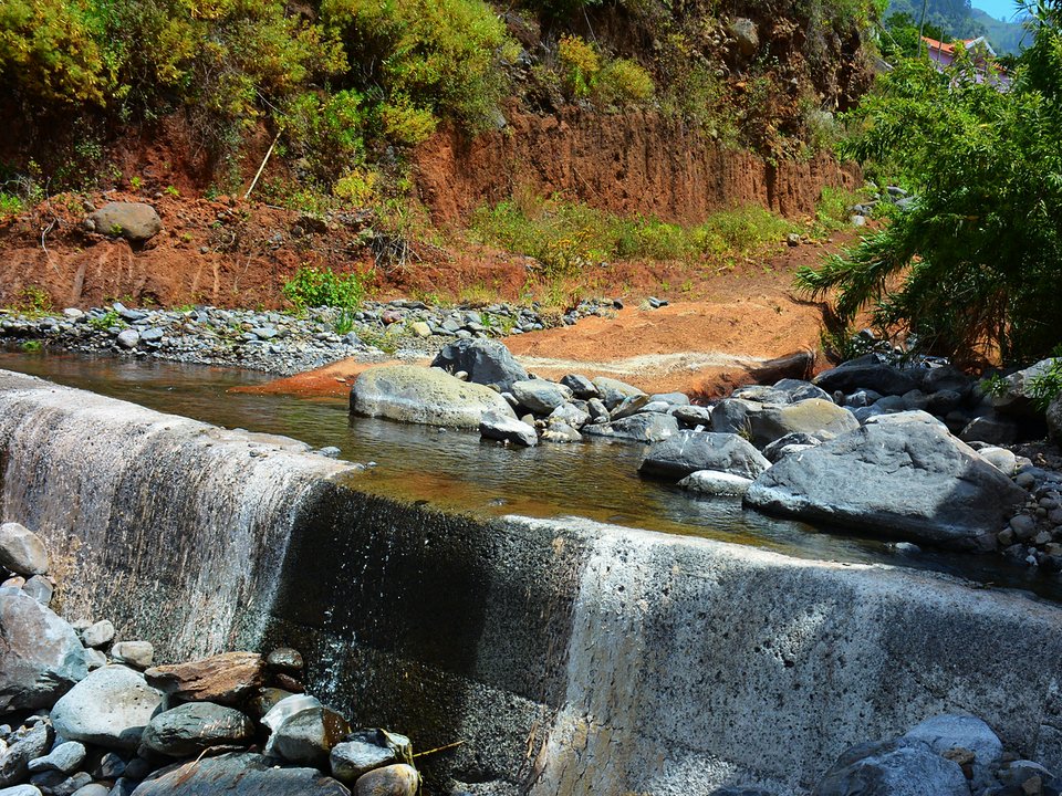
Levada da Cancela is an unclassified 1.1 km levada channel in São Vicente running from Ribeiro das Quebradas / Ribeiro do Velho (390 m) to Sítio da Pereira, Ponta Delgada (130 m). Not on the IFCN recommended PR list.
- Distance
- 1.1 km (channel length)
- Difficulty
- Not printed
- Elevation
- 260 m drop (390 m to 130 m)
- Channel (Madre → Fim)
- Ribeiro das Quebradas / Ribeiro do Velho (390 m) → Sítio da Pereira, Ponta Delgada (130 m) (1.1 km)
Levada da Corujeira (Tabua), Not listed
Levada da Corujeira is an unclassified 2.5 km levada channel in Ribeira Brava running from Sítio da Terça, Ribeira da Tabua (240 m) to Sítio da Achada, Tabua (175 m). Not on the IFCN recommended PR list.
- Distance
- 2.5 km (channel length)
- Difficulty
- Not printed
- Elevation
- 65 m drop (240 m to 175 m)
- Channel (Madre → Fim)
- Sítio da Terça, Ribeira da Tabua (240 m) → Sítio da Achada, Tabua (175 m) (2.5 km)
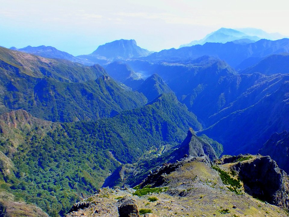
Levada da Fajã da Nogueira, Not listed
Also known as: Levada da Serra do Faial - Lanço da Central · Levada da Serra do Faial - Lanço Central
Levada da Fajã da Nogueira is an unclassified 5.9 km levada channel in Santana running from Ribeira Seca, Faial (982 m) to Câmara de Carga do Pico da Nogueira (968 m). Not on the IFCN recommended PR list.
- Distance
- 5.9 km (channel length)
- Difficulty
- Not printed
- Elevation
- 14 m drop (982 m to 968 m)
- Channel (Madre → Fim)
- Ribeira Seca, Faial (982 m) → Câmara de Carga do Pico da Nogueira (968 m) (5.9 km)
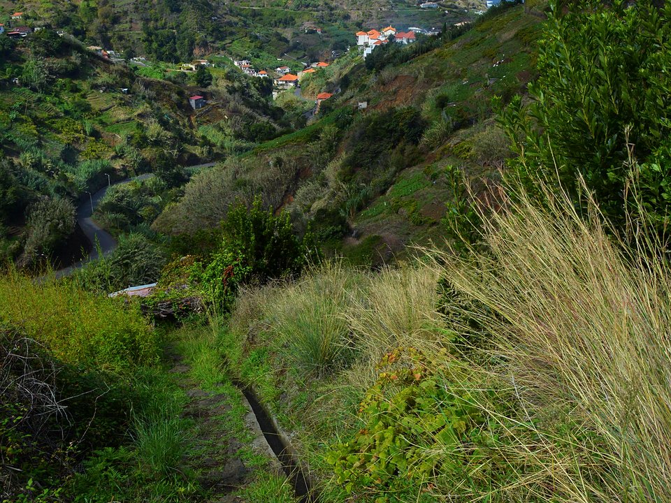
Levada da Fajã da Ovelha, Not listed
Levada da Fajã da Ovelha is 11.7 km, moderate. Not on the IFCN list.
- Distance
- 11.7 km
- Difficulty
- Moderate
- Time
- 4 h
- Elevation
- 80 m ascent
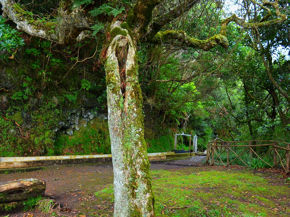
Levada da Fajãzinha, Not listed
Levada da Fajãzinha is an unclassified 1.2 km levada channel in São Vicente running from Córrego da Nozelha, Sítio da Nozelha (210 m) to Sítio do Lombinho, Boaventura (125 m). Not on the IFCN recommended PR list.
- Distance
- 1.2 km (channel length)
- Difficulty
- Not printed
- Elevation
- 85 m drop (210 m to 125 m)
- Channel (Madre → Fim)
- Córrego da Nozelha, Sítio da Nozelha (210 m) → Sítio do Lombinho, Boaventura (125 m) (1.2 km)
Levada da Portela, Not listed
Levada da Portela is an unclassified 6 km levada channel in Machico running from Levada do Furado / Casa de Água dos Lamaceiros (840 m) to Cabeço da Lapa, Maiata, Porto da Cruz (250 m). Not on the IFCN recommended PR list.
- Distance
- 6 km (channel length)
- Difficulty
- Not printed
- Elevation
- 590 m drop (840 m to 250 m)
- Channel (Madre → Fim)
- Levada do Furado / Casa de Água dos Lamaceiros (840 m) → Cabeço da Lapa, Maiata, Porto da Cruz (250 m) (6 km)
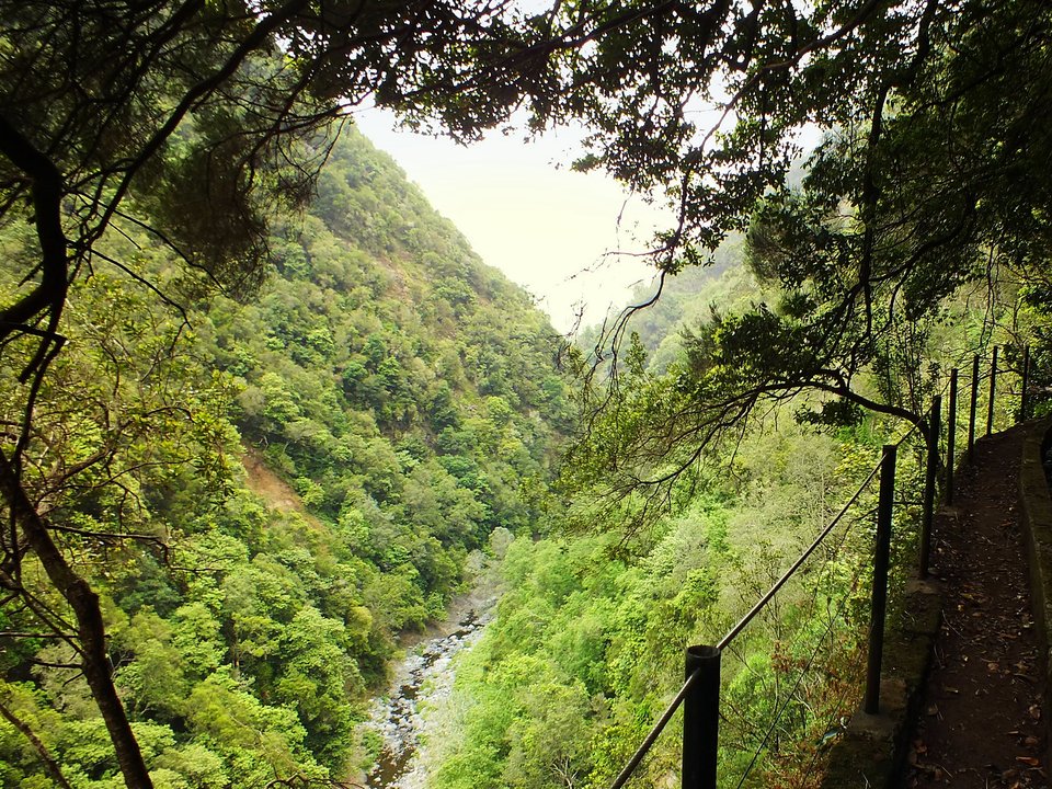
Levada da Referta, Not listed
Also known as: Levada Nova do Porto da Cruz · Levada do Castelejo (Referta Reach)
Levada da Referta is 4.5 km, moderate. Not on the IFCN list.
- Distance
- 4.5 km
- Difficulty
- Moderate
- Time
- 2 h
- Elevation
- 95 m ascent
- Channel (Madre → Fim)
- Ribeira de São Roque do Faial (325 m) → Sítio do Pinheiro, Porto da Cruz (270 m) (11.5 km)
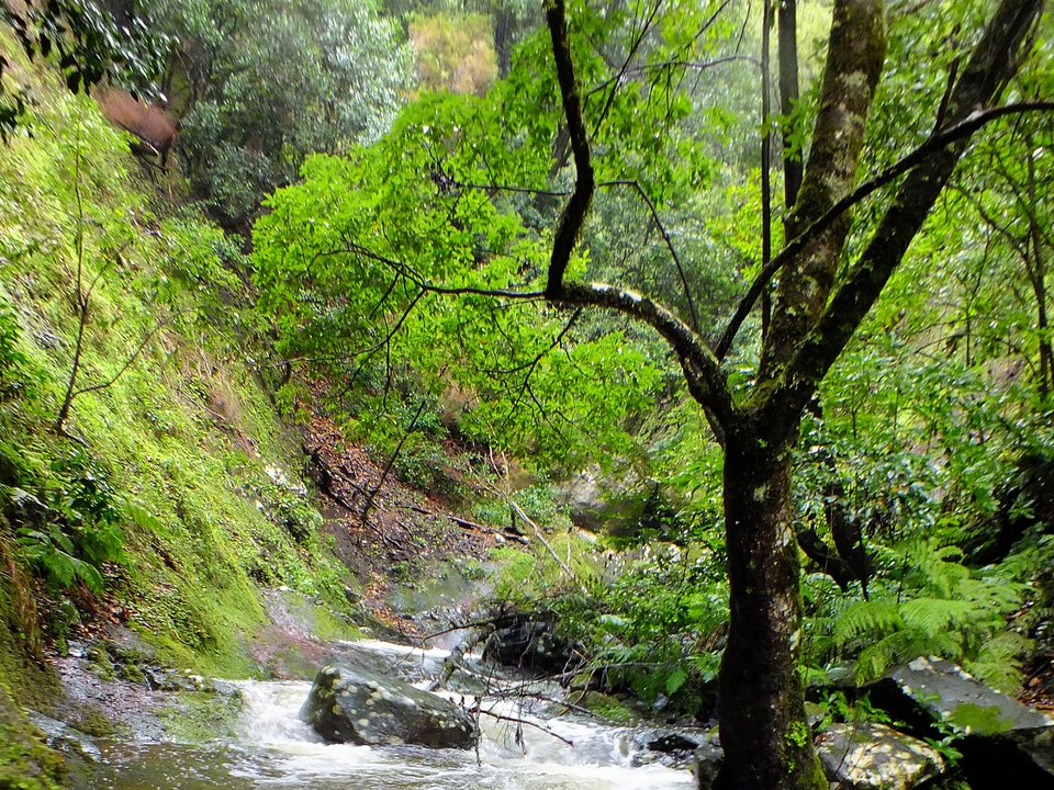
Levada da Ribeira da Janela, Not listed
Also known as: Levada da Central da Ribeira da Janela · Levada dos Lamaceiros
Levada da Ribeira da Janela is an unclassified 16 km levada channel in Porto Moniz running from Ribeiro Gordo, Ribeira da Janela (423 m) to Câmara de Carga da Central da Ribeira da Janela. Not on the IFCN recommended PR list.
- Distance
- 16 km (channel length)
- Difficulty
- Not printed
- Channel (Madre → Fim)
- Ribeiro Gordo, Ribeira da Janela (423 m) → Câmara de Carga da Central da Ribeira da Janela (16 km)
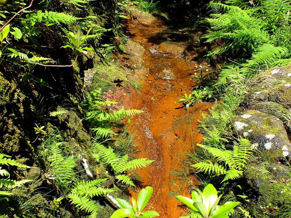
Levada da Rocha Vermelha (Levada da Água do Vimeiro), Not listed
Also known as: Levada da Água do Vimeiro
Levada da Rocha Vermelha is an unclassified 9 km levada channel in Calheta running from Ribeiro da Fajã dos Remos (1017 m) to Rocha Vermelha Forebay, Calheta Hydroelectric Station (831 m). Not on the IFCN recommended PR list.
- Distance
- 9 km (channel length)
- Difficulty
- Not printed
- Elevation
- 186 m drop (1017 m to 831 m)
- Channel (Madre → Fim)
- Ribeiro da Fajã dos Remos (1017 m) → Rocha Vermelha Forebay, Calheta Hydroelectric Station (831 m) (9 km)
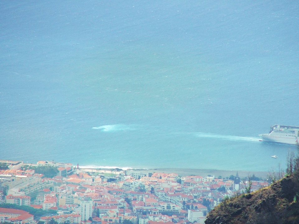
Levada da Serra da Alegria, Not listed
Levada da Serra da Alegria is an unclassified 7 km levada channel in Funchal running from Ribeira de Santa Luzia to Sítio da Alegria, São Roque, Funchal. Not on the IFCN recommended PR list.
- Distance
- 7 km (channel length)
- Difficulty
- Not printed
- Channel (Madre → Fim)
- Ribeira de Santa Luzia → Sítio da Alegria, São Roque, Funchal (7 km)
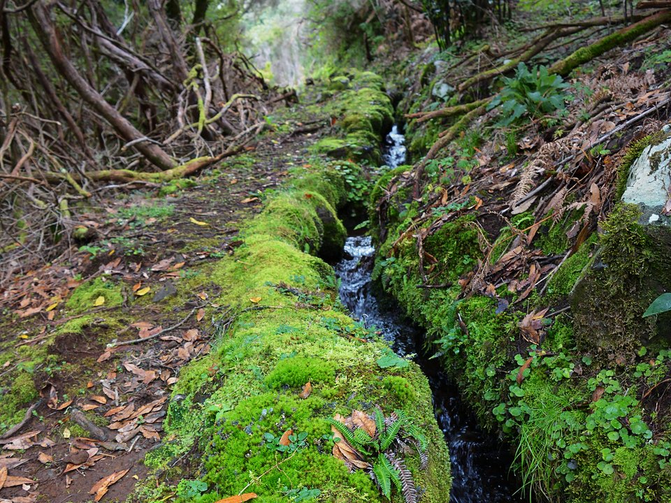
Levada da Serra da Ponta do Pargo, Not listed
Levada da Serra da Ponta do Pargo is an unclassified 4 km levada channel in Calheta running from Ribeira dos Moinhos (975 m) to Sítio da Corujeira / Levada Nova, Ponta do Pargo (635 m). Not on the IFCN recommended PR list.
- Distance
- 4 km (channel length)
- Difficulty
- Not printed
- Elevation
- 340 m drop (975 m to 635 m)
- Channel (Madre → Fim)
- Ribeira dos Moinhos (975 m) → Sítio da Corujeira / Levada Nova, Ponta do Pargo (635 m) (4 km)
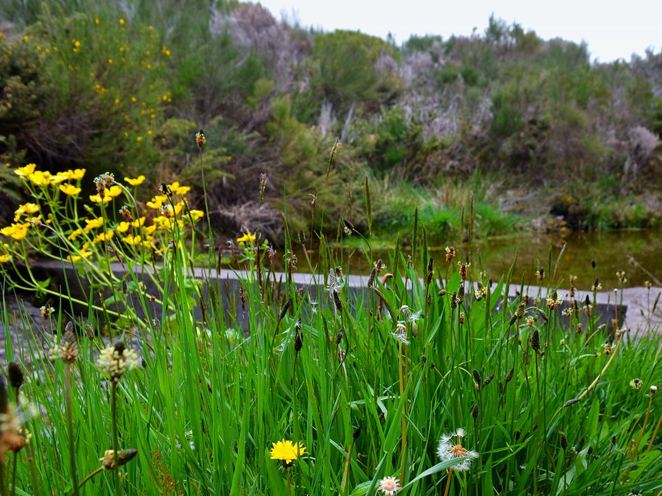
Levada da Serra da Ponta do Sol (Fonte do Juncal), Not listed
Also known as: Levada da Serra da Fonte do Juncal
Levada da Serra da Ponta do Sol is an unclassified 8 km levada channel in Ponta do Sol running from Fontes do Juncal (1525 m) to Sítio do Tornadouro, Ponta do Sol (625 m). Not on the IFCN recommended PR list.
- Distance
- 8 km (channel length)
- Difficulty
- Not printed
- Elevation
- 900 m drop (1525 m to 625 m)
- Channel (Madre → Fim)
- Fontes do Juncal (1525 m) → Sítio do Tornadouro, Ponta do Sol (625 m) (8 km)
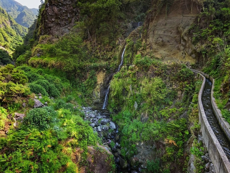
Levada da Serra de Água, Not listed
Levada da Serra de Água is 17.1 km, hard. Not on the IFCN list.
- Distance
- 17.1 km
- Difficulty
- Hard
- Time
- 5 h
- Elevation
- 202 m ascent
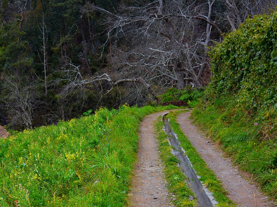
Levada da Serra do Estreito (Levada da Rouca), Not listed
Also known as: Levada da Rouca · Levada do Poço da Corrida
Levada da Serra do Estreito is an unclassified 6.6 km levada channel in Câmara de Lobos running from Poço da Serra / Poço da Corrida, Sítio da Corrida to Caminho da Partilha, Eiras das Moças, Estreito de Câmara de Lobos. Not on the IFCN recommended PR list.
- Distance
- 6.6 km (channel length)
- Difficulty
- Not printed
- Channel (Madre → Fim)
- Poço da Serra / Poço da Corrida, Sítio da Corrida → Caminho da Partilha, Eiras das Moças, Estreito de Câmara de Lobos (6.6 km)
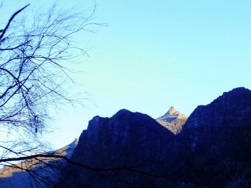
Levada da Serra do Faial, Not listed
Also known as: Levada Antiga da Serra do Faial
Levada da Serra do Faial is 10.1 km, moderate. Not on the IFCN list.
- Distance
- 10.1 km
- Difficulty
- Moderate
- Time
- 3 h 9 min
- Elevation
- 121 m ascent, 298 m descent
- Channel (Madre → Fim)
- Ribeira Seca, São Roque do Faial (982 m) → Caminho do Meio / Choupana, Funchal (54 km (historical full channel))
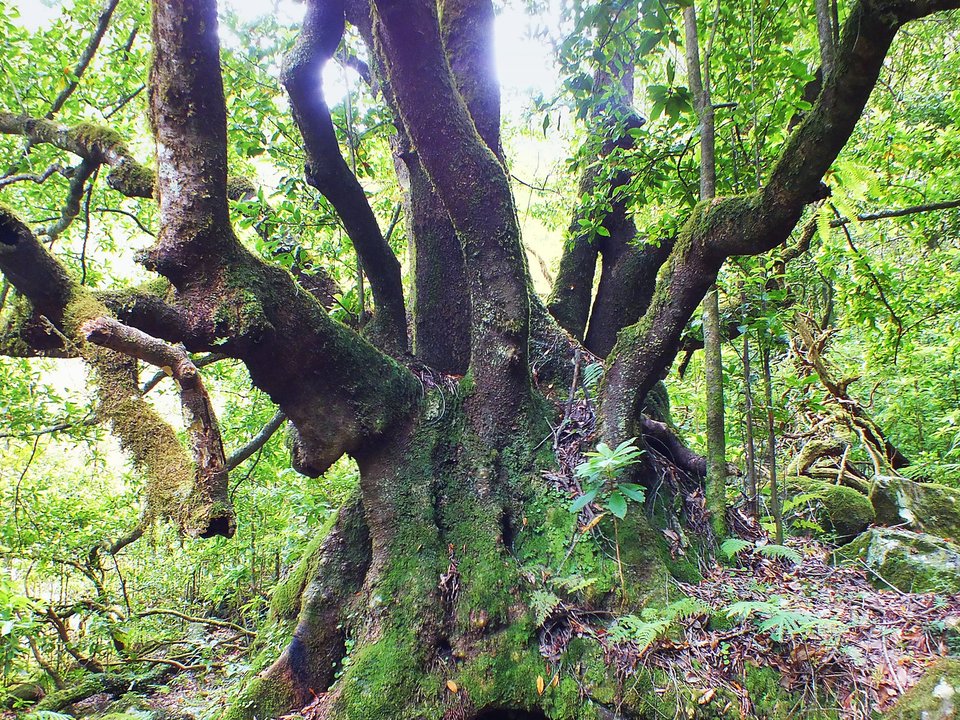
Levada da Silveira, Not listed
Also known as: Levada de Santana · Levada do Meio de Santana
Levada da Silveira is an unclassified 9 km levada channel in Santana running from Ribeira dos Arcos (690 m) to Feiteira de Cima, Santana (620 m). Not on the IFCN recommended PR list.
- Distance
- 9 km (channel length)
- Difficulty
- Not printed
- Elevation
- 70 m drop (690 m to 620 m)
- Channel (Madre → Fim)
- Ribeira dos Arcos (690 m) → Feiteira de Cima, Santana (620 m) (9 km)
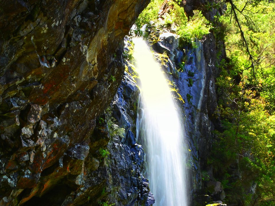
Levada das Feitas (Levada do Seixal), Not listed
Also known as: Levada das Feitas
Levada do Seixal is an unclassified 3.3 km levada channel in Porto Moniz running from Córregos de Água / Ribeira do Vimeiro (838 m) to Levada da Rocha Vermelha / Ribeira da Água Negra (834 m). Not on the IFCN recommended PR list.
- Distance
- 3.3 km (channel length)
- Difficulty
- Not printed
- Elevation
- 4 m drop (838 m to 834 m)
- Channel (Madre → Fim)
- Córregos de Água / Ribeira do Vimeiro (838 m) → Levada da Rocha Vermelha / Ribeira da Água Negra (834 m) (3.3 km)
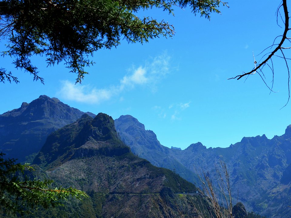
Levada das Rabaças, Not listed
Levada das Rabaças is an unclassified 7 km levada channel in Ribeira Brava running from Fontes das Rabaças, Sítio do Cascalho (1320 m) to Downstream Portal of the Levada do Norte Variant Tunnel, near Boca da Encumeada (993 m). Not on the IFCN recommended PR list.
- Distance
- 7 km (channel length)
- Difficulty
- Not printed
- Elevation
- 327 m drop (1320 m to 993 m)
- Channel (Madre → Fim)
- Fontes das Rabaças, Sítio do Cascalho (1320 m) → Downstream Portal of the Levada do Norte Variant Tunnel, near Boca da Encumeada (993 m) (7 km)
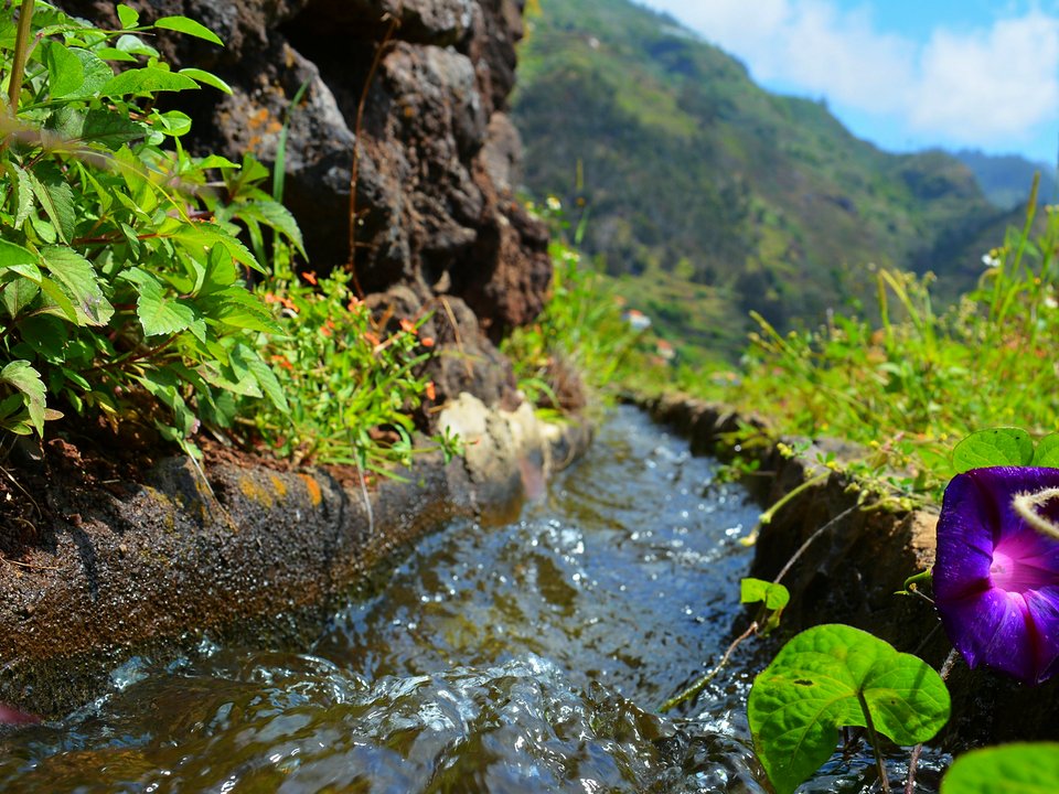
Levada das Voltas, Not listed
Levada das Voltas is an unclassified 2.5 km levada channel in Ribeira Brava running from Sítio da Terça da Ribeira da Tabua (240 m) to Sítio da Praia da Tabua (50 m). Not on the IFCN recommended PR list.
- Distance
- 2.5 km (channel length)
- Difficulty
- Not printed
- Elevation
- 190 m drop (240 m to 50 m)
- Channel (Madre → Fim)
- Sítio da Terça da Ribeira da Tabua (240 m) → Sítio da Praia da Tabua (50 m) (2.5 km)
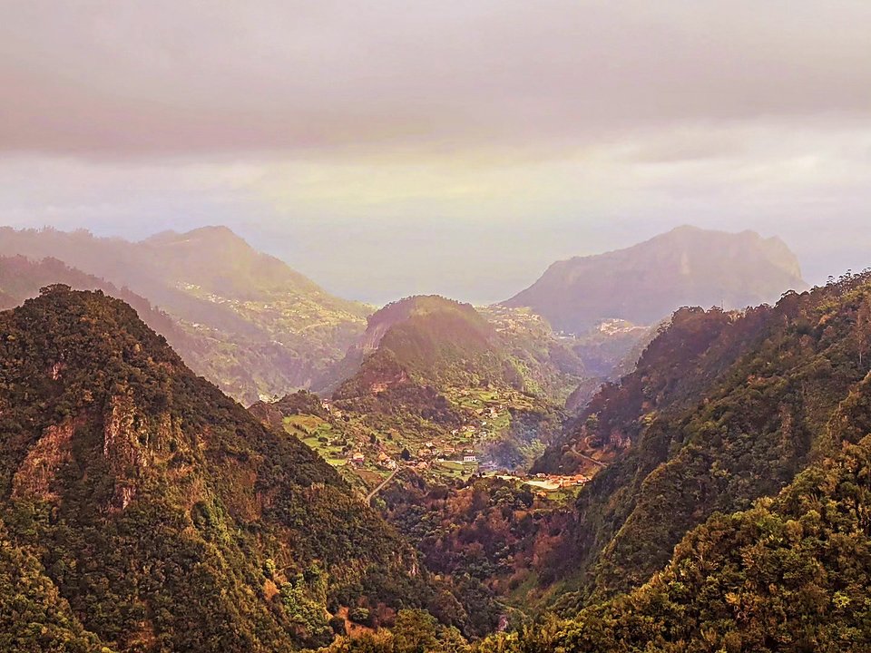
Levada de Baixo and Vereda do Lombo Grande, Not listed
Levada de Baixo and Vereda do Lombo Grande is 3.8 km each way, moderate. Not on the IFCN list.
- Distance
- 3.8 km each way
- Difficulty
- Moderate
- Time
- 3 h 30 min
- Elevation
- 147 m ascent
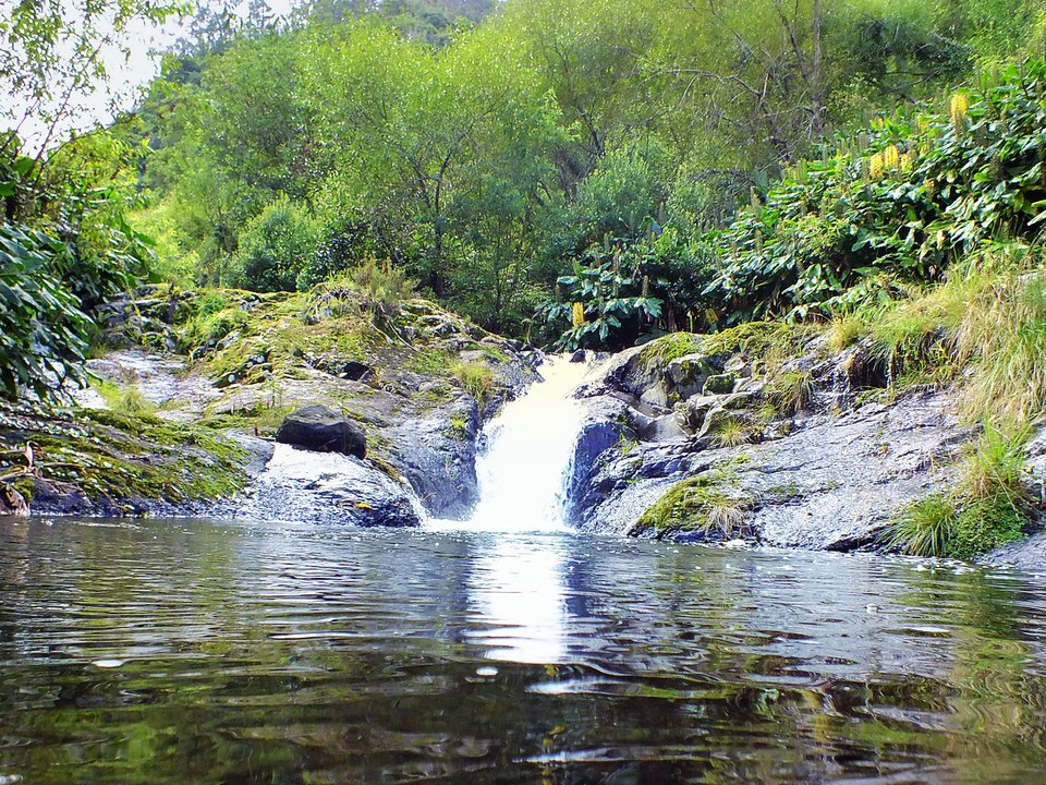
Levada de Cima da Boaventura (Levada Grande da Boaventura), Not listed
Also known as: Levada Grande da Boaventura
Levada de Cima da Boaventura is an unclassified 4 km levada channel in São Vicente running from Ribeira dos Moinhos (400 m) to Ponta Delgada (125 m). Not on the IFCN recommended PR list.
- Distance
- 4 km (channel length)
- Difficulty
- Not printed
- Elevation
- 275 m drop (400 m to 125 m)
- Channel (Madre → Fim)
- Ribeira dos Moinhos (400 m) → Ponta Delgada (125 m) (4 km)
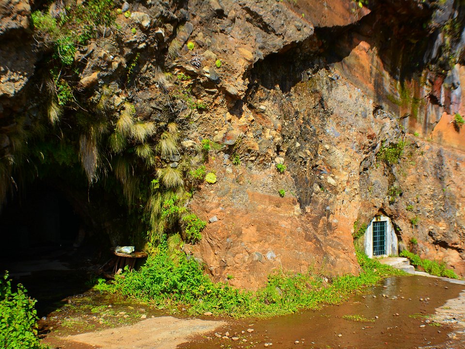
Levada de Marques Teixeira, Not listed
Levada de Marques Teixeira is an unclassified 6.5 km levada channel in Ponta do Sol running from Galeria das Rabaças (1100 m) to Sítio das Covas, Ponta do Sol (630 m). Not on the IFCN recommended PR list.
- Distance
- 6.5 km (channel length)
- Difficulty
- Not printed
- Elevation
- 470 m drop (1100 m to 630 m)
- Channel (Madre → Fim)
- Galeria das Rabaças (1100 m) → Sítio das Covas, Ponta do Sol (630 m) (6.5 km)
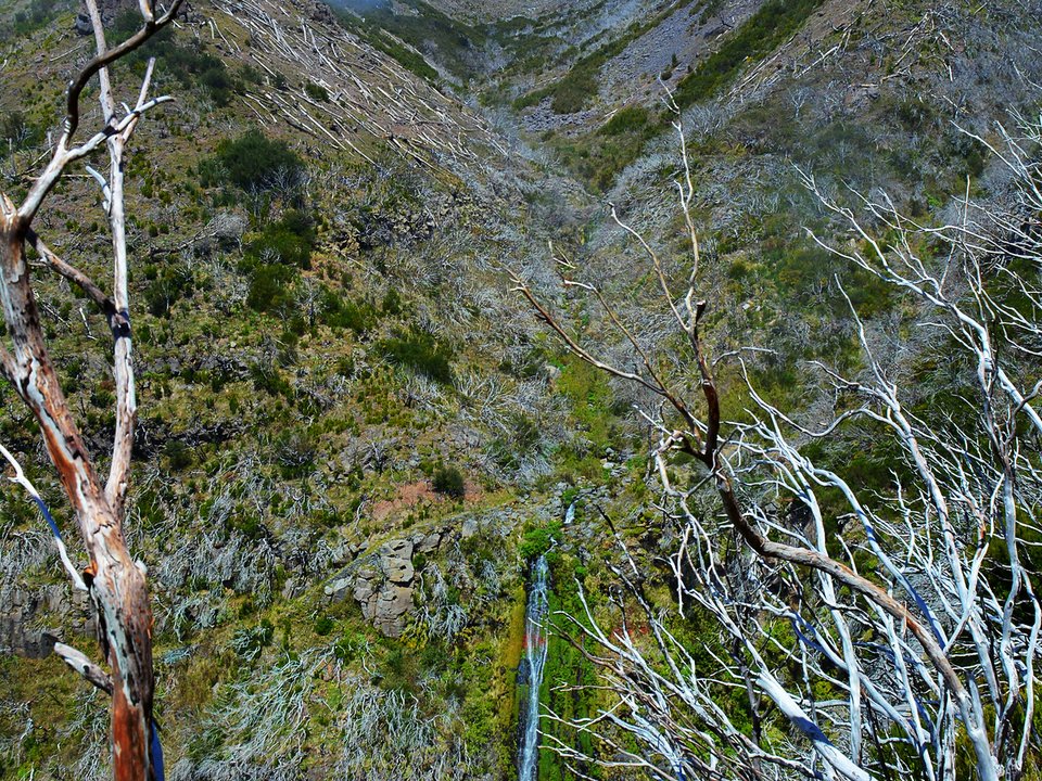
Levada do Barreiro, Not listed
Levada do Barreiro is an unclassified 7.5 km levada channel in Funchal running from Near Poço da Neve (1570 m) to Sítio do Tanque, Monte, Funchal (490 m). Not on the IFCN recommended PR list.
- Distance
- 7.5 km (channel length)
- Difficulty
- Not printed
- Elevation
- 1080 m drop (1570 m to 490 m)
- Channel (Madre → Fim)
- Near Poço da Neve (1570 m) → Sítio do Tanque, Monte, Funchal (490 m) (7.5 km)
Levada do Blandy, Not listed
Levada do Blandy is 10.8 km loop, moderate. Not on the IFCN list.
- Distance
- 10.8 km loop
- Difficulty
- Moderate
- Time
- 2 h 55 min
- Elevation
- 402 m ascent, 401 m descent
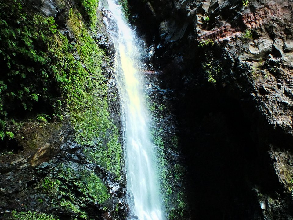
Levada do Bom Sucesso, Not listed
Levada do Bom Sucesso is 3.9 km, hard. Not on the IFCN list.
- Distance
- 3.9 km
- Difficulty
- Hard
- Time
- 1 h 13 min
- Elevation
- 549 m ascent, 229 m descent
- Channel (Madre → Fim)
- Ribeira de João Gomes (260 m) [deactivated upper branch: Montado dos Lourais (1075 m)] → Caminho do Palheiro, Bom Sucesso (175 m) [deactivated upper branch: Caminho do Meio (710 m), 6.2 km] (3.5 km (active lower reach) / 6.2 km (deactivated upper branch))
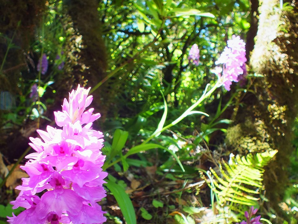
Levada do Brasileiro, Not listed
Levada do Brasileiro is an unclassified 4 km levada channel in Porto Moniz running from Near Pico Bonito, Ribeira da Janela (950 m) to Portas da Vila, Ribeira da Janela (700 m). Not on the IFCN recommended PR list.
- Distance
- 4 km (channel length)
- Difficulty
- Not printed
- Elevation
- 250 m drop (950 m to 700 m)
- Channel (Madre → Fim)
- Near Pico Bonito, Ribeira da Janela (950 m) → Portas da Vila, Ribeira da Janela (700 m) (4 km)
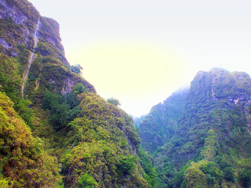
Levada do Caldeirão do Inferno, Not listed
Also known as: Levada da Serra de São Jorge (Troço Inicial)
Levada do Caldeirão do Inferno is an unclassified 1.1 km levada channel in Santana running from Caldeirão do Inferno, Ribeira Grande (1050 m) to Levada do Pico Ruivo intake (1030 m). Not on the IFCN recommended PR list.
- Distance
- 1.1 km (channel length)
- Difficulty
- Not printed
- Elevation
- 20 m drop (1050 m to 1030 m)
- Channel (Madre → Fim)
- Caldeirão do Inferno, Ribeira Grande (1050 m) → Levada do Pico Ruivo intake (1030 m) (1.1 km)
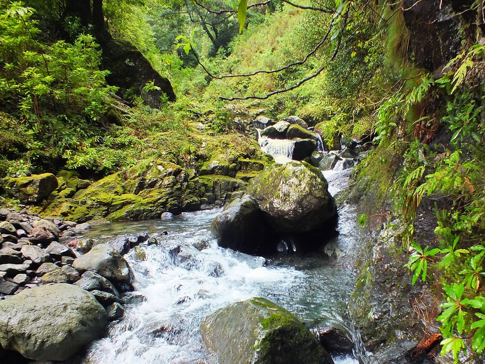
Levada do Caldeirão Verde Superior, Not listed
Also known as: Levada do Caldeirão Verde II
Levada do Caldeirão Verde Superior is an unclassified 1.5 km levada channel in Santana running from Caldeirão Verde Superior to Levada da Fajã da Nogueira / Levada do Pico Ruivo. Not on the IFCN recommended PR list.
- Distance
- 1.5 km (channel length)
- Difficulty
- Not printed
- Channel (Madre → Fim)
- Caldeirão Verde Superior → Levada da Fajã da Nogueira / Levada do Pico Ruivo (1.5 km)
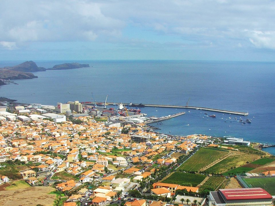
Levada do Caniçal, Not listed
Also known as: Levada dos Maroços
Levada do Caniçal is 3.8 km each way, easy. Not on the IFCN list.
- Distance
- 3.8 km each way
- Difficulty
- Easy
- Time
- 1 h 30 min each way
- Elevation
- 150 m ascent
- Channel (Madre → Fim)
- Fonte Vermelha / Ribeira de Machico → Sítio da Rochinha, Caniçal (15.5 km)
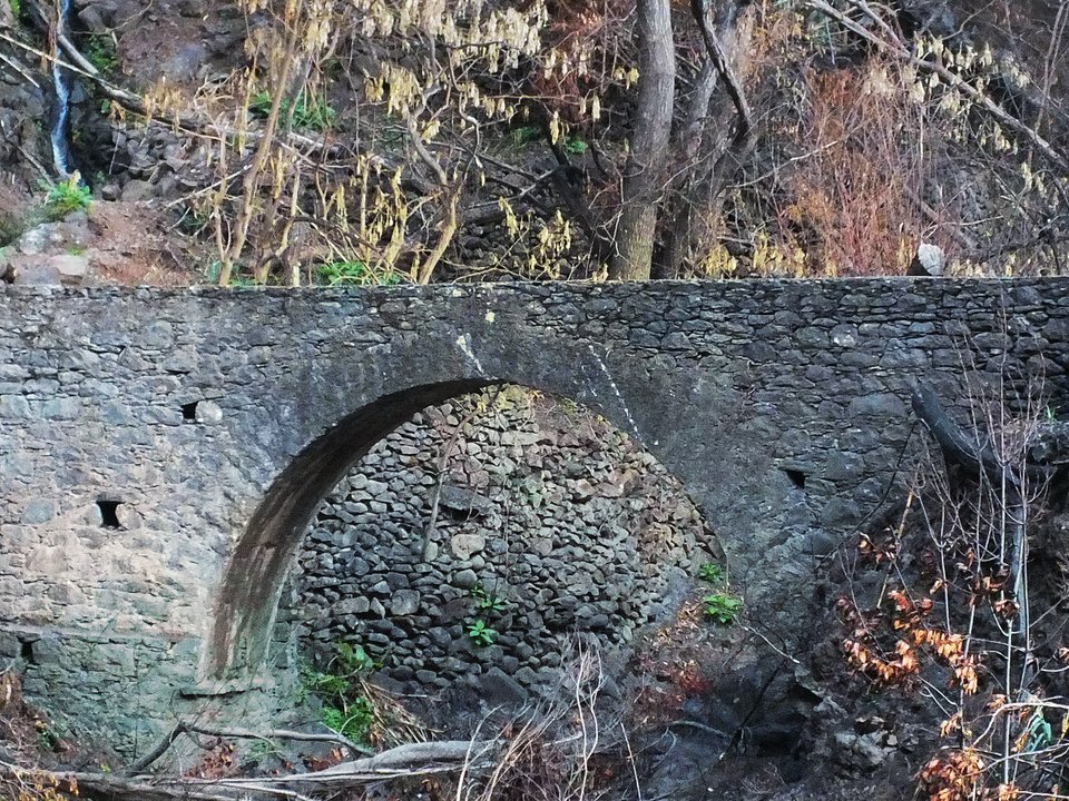
Levada do Caniço, Not listed
Also known as: Levada dos Moinhos do Caniço
Levada do Caniço is 4.2 km, moderate. Not on the IFCN list.
- Distance
- 4.2 km
- Difficulty
- Moderate
- Time
- 2 h 4 min
- Elevation
- 152 m ascent, 208 m descent
- Channel (Madre → Fim)
- Ribeira do Porto Novo → Assomada, Caniço (4.5 km)
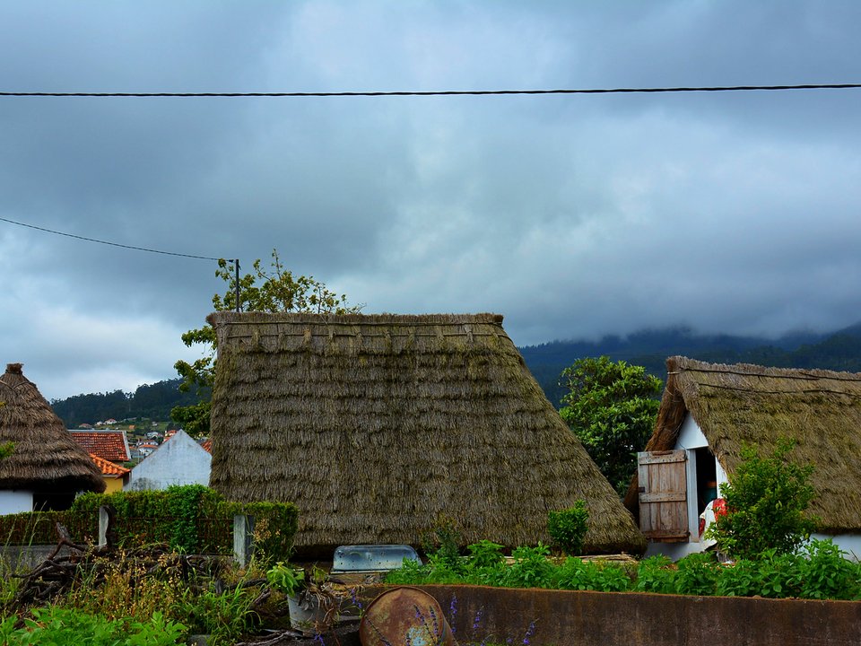
Levada do Cantinho (Ribeira dos Pregos), Not listed
Levada do Cantinho is an unclassified 5.1 km levada channel in Santana running from Ribeira do Cantinho (380 m) and Ribeira de Santo António (390 m) to Sítio do Pinheiro, Santana (365 m). Not on the IFCN recommended PR list.
- Distance
- 5.1 km (channel length)
- Difficulty
- Not printed
- Elevation
- 25 m drop (390 m to 365 m)
- Channel (Madre → Fim)
- Ribeira do Cantinho (380 m) and Ribeira de Santo António (390 m) → Sítio do Pinheiro, Santana (365 m) (5.1 km)
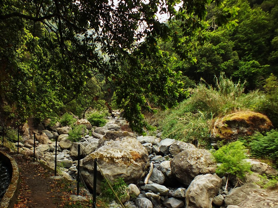
Levada do Castelejo, Not listed
Also known as: Levada Nova do Porto da Cruz
Levada do Castelejo is an unclassified 11.5 km levada channel in Machico running from Ribeira de São Roque do Faial (325 m) to Sítio do Pinheiro, Porto da Cruz (270 m). Not on the IFCN recommended PR list.
- Distance
- 11.5 km (channel length)
- Difficulty
- Not printed
- Elevation
- 55 m drop (325 m to 270 m)
- Channel (Madre → Fim)
- Ribeira de São Roque do Faial (325 m) → Sítio do Pinheiro, Porto da Cruz (270 m) (11.5 km)
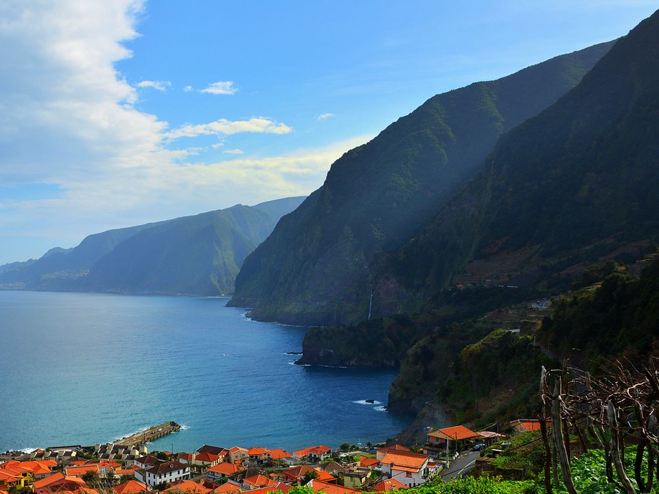
Levada do Chão da Ribeira, Not listed
Levada do Chão da Ribeira is an unclassified 5 km levada channel in Porto Moniz running from Ribeira do Seixal (550 m) to Sítios do Farrobo and Serra de Água, Seixal. Not on the IFCN recommended PR list.
- Distance
- 5 km (channel length)
- Difficulty
- Not printed
- Channel (Madre → Fim)
- Ribeira do Seixal (550 m) → Sítios do Farrobo and Serra de Água, Seixal (5 km)
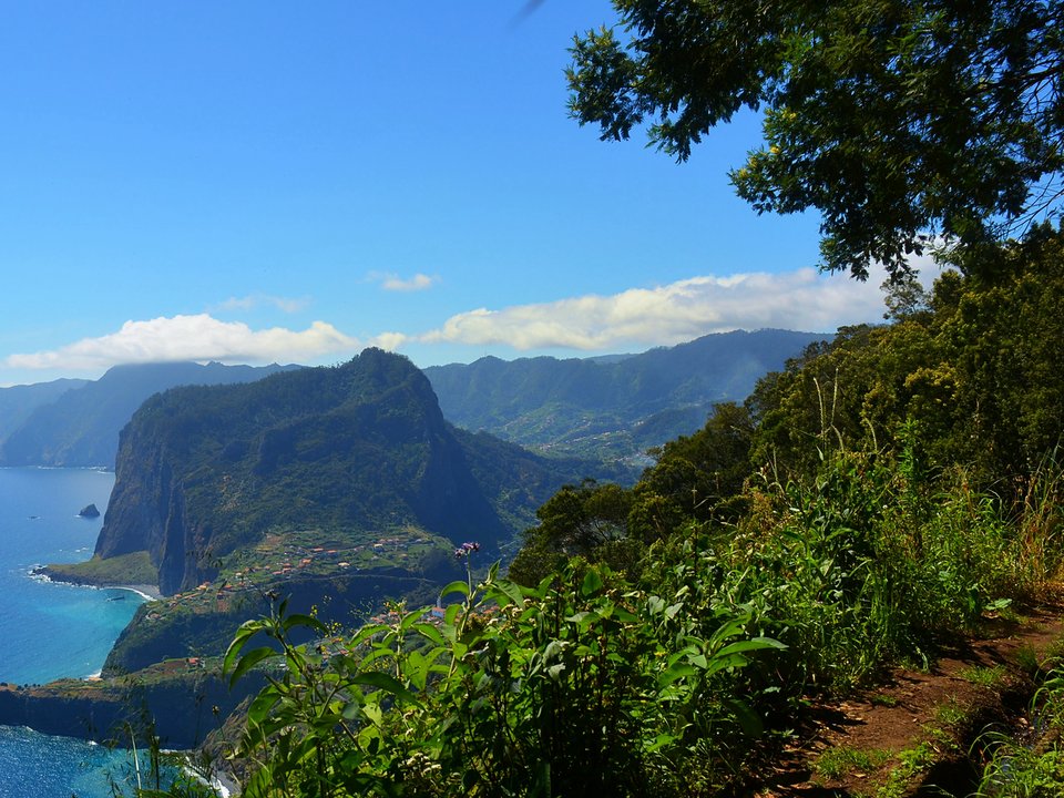
Levada do Cortado, Not listed
Levada do Cortado is an unclassified 3 km levada channel in Santana running from Córrego da Alcaria (530 m) to Cortado (450 m) and Rochão, Santana (350 m). Not on the IFCN recommended PR list.
- Distance
- 3 km (channel length)
- Difficulty
- Not printed
- Elevation
- 180 m drop (530 m to 350 m)
- Channel (Madre → Fim)
- Córrego da Alcaria (530 m) → Cortado (450 m) and Rochão, Santana (350 m) (3 km)
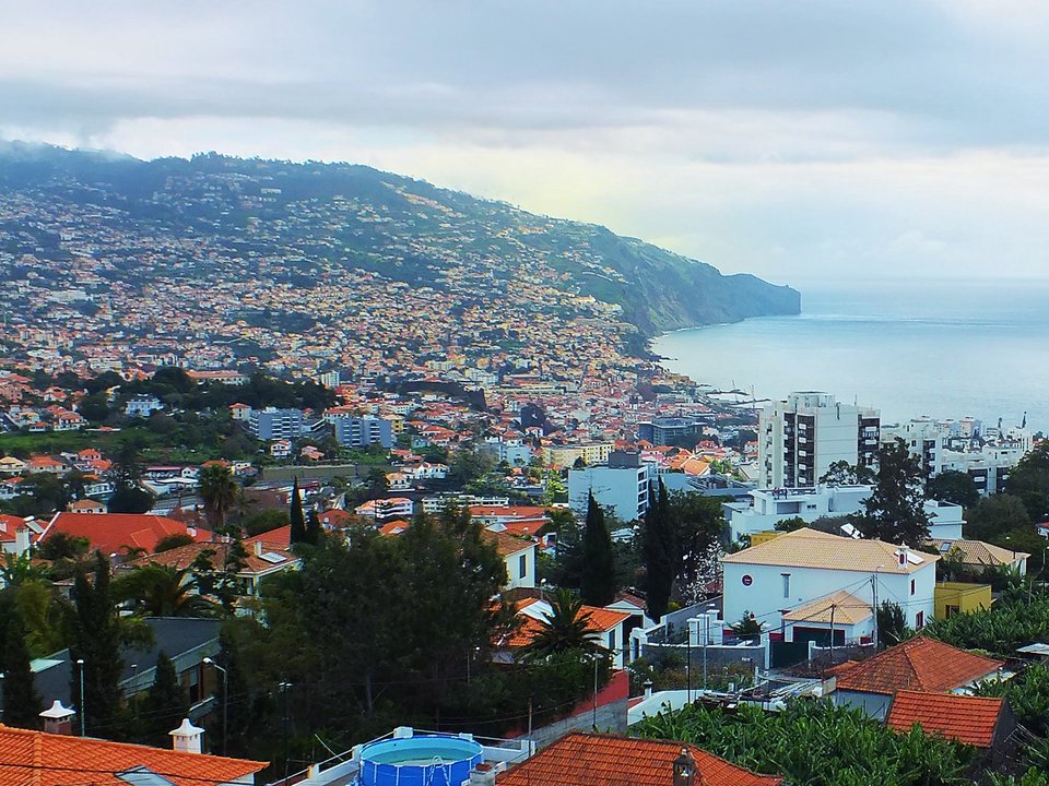
Levada do Curral, Not listed
Also known as: Levada do Curral e Castelejo
Levada do Curral is 4.3 km, hard. Not on the IFCN list.
- Distance
- 4.3 km
- Difficulty
- Hard
- Elevation
- 218 m ascent
- Channel (Madre → Fim)
- Ribeira dos Socorridos, Fajã Escura, Curral das Freiras (520 m) → Pico do Bucho, São Martinho, Funchal (15 km)
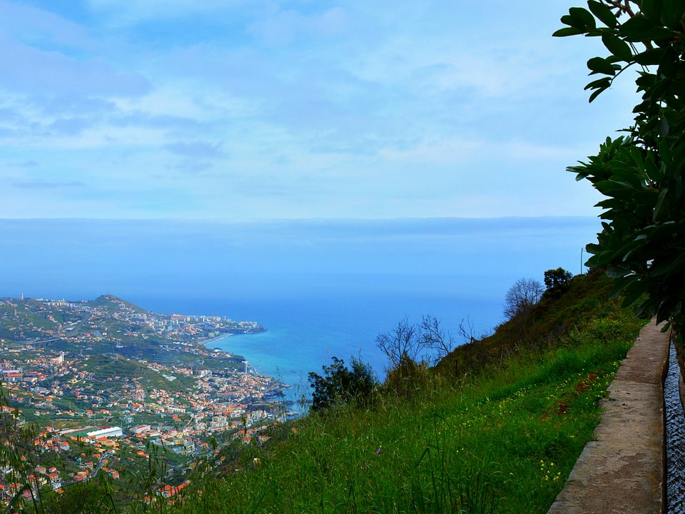
Levada do Facho, Not listed
Levada do Facho is an unclassified 1 km levada channel in Câmara de Lobos running from Cruz da Caldeira, Levada do Norte (540 m) to Sítio do Facho, Câmara de Lobos (500 m). Not on the IFCN recommended PR list.
- Distance
- 1 km (channel length)
- Difficulty
- Not printed
- Elevation
- 40 m drop (540 m to 500 m)
- Channel (Madre → Fim)
- Cruz da Caldeira, Levada do Norte (540 m) → Sítio do Facho, Câmara de Lobos (500 m) (1 km)
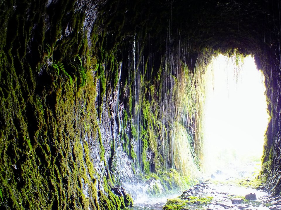
Levada do Inferno (Levada Velha do Caramujo), Not listed
Also known as: Levada Velha do Caramujo · Levada do Inferno
Levada do Plaino Velho is an unclassified 5 km levada channel in São Vicente running from Ribeira do Inferno / Near Pico Ruivo do Paúl to Levada do Norte. Not on the IFCN recommended PR list.
- Distance
- 5 km (channel length)
- Difficulty
- Not printed
- Channel (Madre → Fim)
- Ribeira do Inferno / Near Pico Ruivo do Paúl → Levada do Norte (5 km)
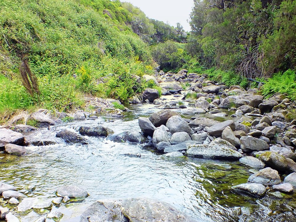
Levada do Lajeado, Not listed
Also known as: Levada do Pico da Urze · Levada Velha do Paúl
Levada Velha do Lajeado is an unclassified 1.5 km levada channel in Paul da Serra running from Ribeira Grande, Paul da Serra (1370 m) to Ribeira do Alecrim, Paul da Serra (1350 m). Not on the IFCN recommended PR list.
- Distance
- 1.5 km (channel length)
- Difficulty
- Not printed
- Elevation
- 20 m drop (1370 m to 1350 m)
- Channel (Madre → Fim)
- Ribeira Grande, Paul da Serra (1370 m) → Ribeira do Alecrim, Paul da Serra (1350 m) (1.5 km)
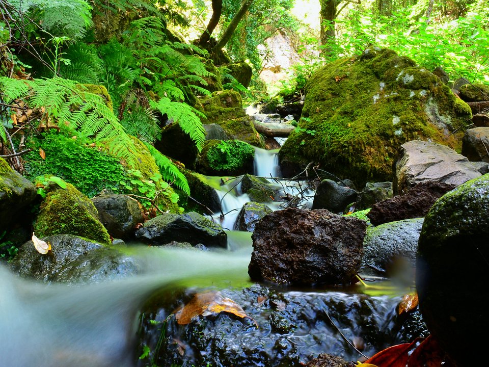
Levada do Lanço (Levada dos Barros), Not listed
Also known as: Levada dos Barros
Levada do Lanço is an unclassified 1.4 km levada channel in São Vicente running from Ribeira do Passo (430 m) to Sítio do Lanço, São Vicente (360 m). Not on the IFCN recommended PR list.
- Distance
- 1.4 km (channel length)
- Difficulty
- Not printed
- Elevation
- 70 m drop (430 m to 360 m)
- Channel (Madre → Fim)
- Ribeira do Passo (430 m) → Sítio do Lanço, São Vicente (360 m) (1.4 km)
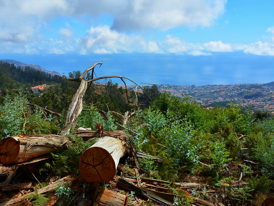
Levada do Lombo de Dona Isabel (Levada do Lombo e Paredão), Not listed
Also known as: Levada do Lombo e Paredão
Levada do Lombo de Dona Isabel is an unclassified 8.5 km levada channel in Funchal running from 1ª Nascente (1520 m), Ribeira da Lapa (1290 m) and Montado do Paredão (1320 m) to Sítio da Viana, Santo António, Funchal (270 m). Not on the IFCN recommended PR list.
- Distance
- 8.5 km (channel length)
- Difficulty
- Not printed
- Elevation
- 1250 m drop (1520 m to 270 m)
- Channel (Madre → Fim)
- 1ª Nascente (1520 m), Ribeira da Lapa (1290 m) and Montado do Paredão (1320 m) [historically near Pico do Cedro (1660 m)] → Sítio da Viana, Santo António, Funchal (270 m) (8.5 km)
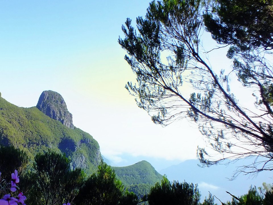
Levada do Lombo do Mauro, Not listed
Also known as: Levada da Serra da Bica da Cana · Levada do Monte Medonho
Levada do Lombo do Mouro is an unclassified 12 km levada channel in Ribeira Brava running from Bica da Cana to Pomar da Rocha, Serra de Água. Not on the IFCN recommended PR list.
- Distance
- 12 km (channel length)
- Difficulty
- Not printed
- Channel (Madre → Fim)
- Bica da Cana → Pomar da Rocha, Serra de Água (12 km)
Levada do Moinho and Levada Nova, Ponta do Sol, Not listed
Also known as: Levada da Lombada · Levada do Moinho da Lombada e Lugar de Baixo · Levada do Moinho da Ponta do Sol
Levada do Moinho and Levada Nova, Ponta do Sol is 8.9 km loop, moderate. Not on the IFCN list.
- Distance
- 8.9 km loop
- Difficulty
- Moderate
- Time
- 2 h 50 min
- Elevation
- 238 m ascent
- Channel (Madre → Fim)
- Cabo da Ribeira, Ribeira da Ponta do Sol (400 m) → Igreja da Lombada, Ponta do Sol (300 m) (4.5 km)
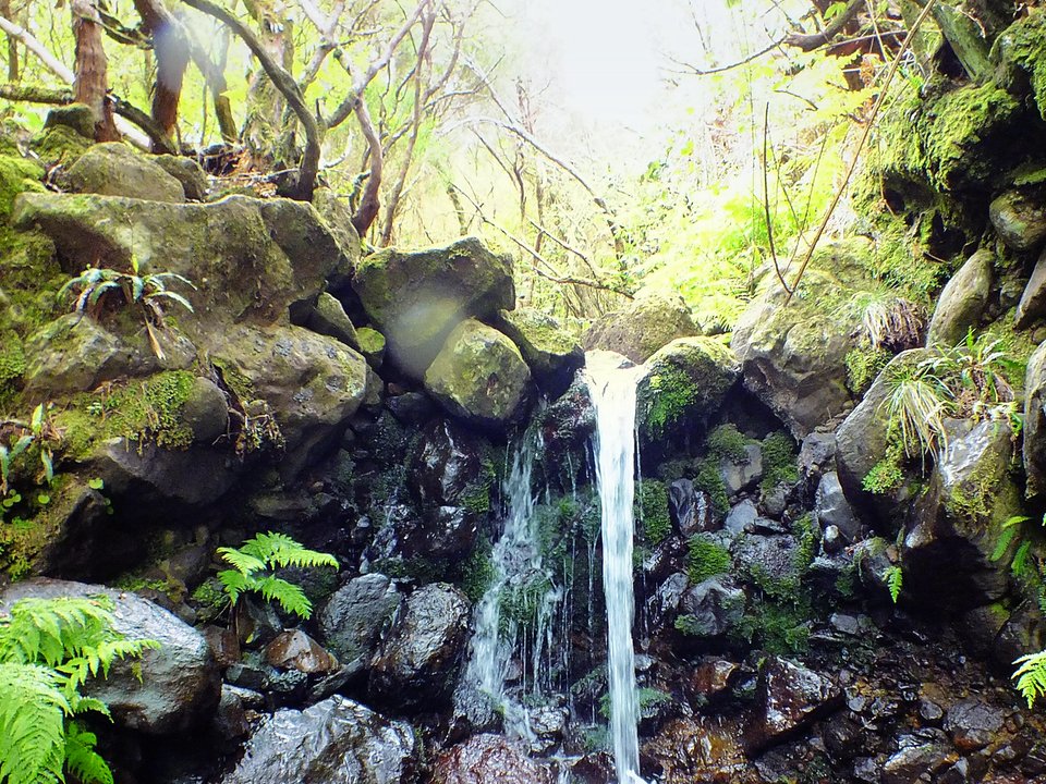
Levada do Moinho, Paul da Serra, Not listed
Also known as: Levada dos Moinhos do Paúl
Levada do Moinho, Paul da Serra is 6 km one way. Not on the IFCN list.
- Distance
- 6 km one way
- Difficulty
- Not printed
- Channel (Madre → Fim)
- Ribeira do Lajeado / Ribeira da Janela (1304 m) → Câmara de Carga do Paúl (1280 m) (3.8 km (remodeled Alecrim reach))
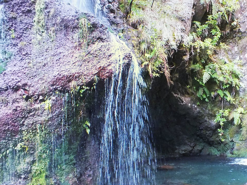
Levada do Norte — Lanço Norte (Seixal to Encumeada), Not listed
Also known as: Levada do Norte (Lanço Norte)
Levada do Norte — Lanço Norte is an unclassified 14 km levada channel in São Vicente running from Ribeira da Hortelã, Seixal to Canal do Norte, Boca da Encumeada. Not on the IFCN recommended PR list.
- Distance
- 14 km (channel length)
- Difficulty
- Not printed
- Channel (Madre → Fim)
- Ribeira da Hortelã, Seixal → Canal do Norte, Boca da Encumeada (14 km)
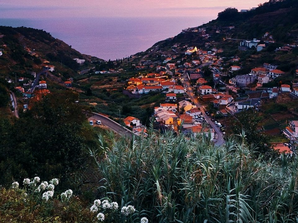
Levada do Norte, Quinta Grande, Not listed
Levada do Norte, Quinta Grande is 17.3 km, moderate. Not on the IFCN list.
- Distance
- 17.3 km
- Difficulty
- Moderate
- Time
- 4 h
- Elevation
- 441 m ascent
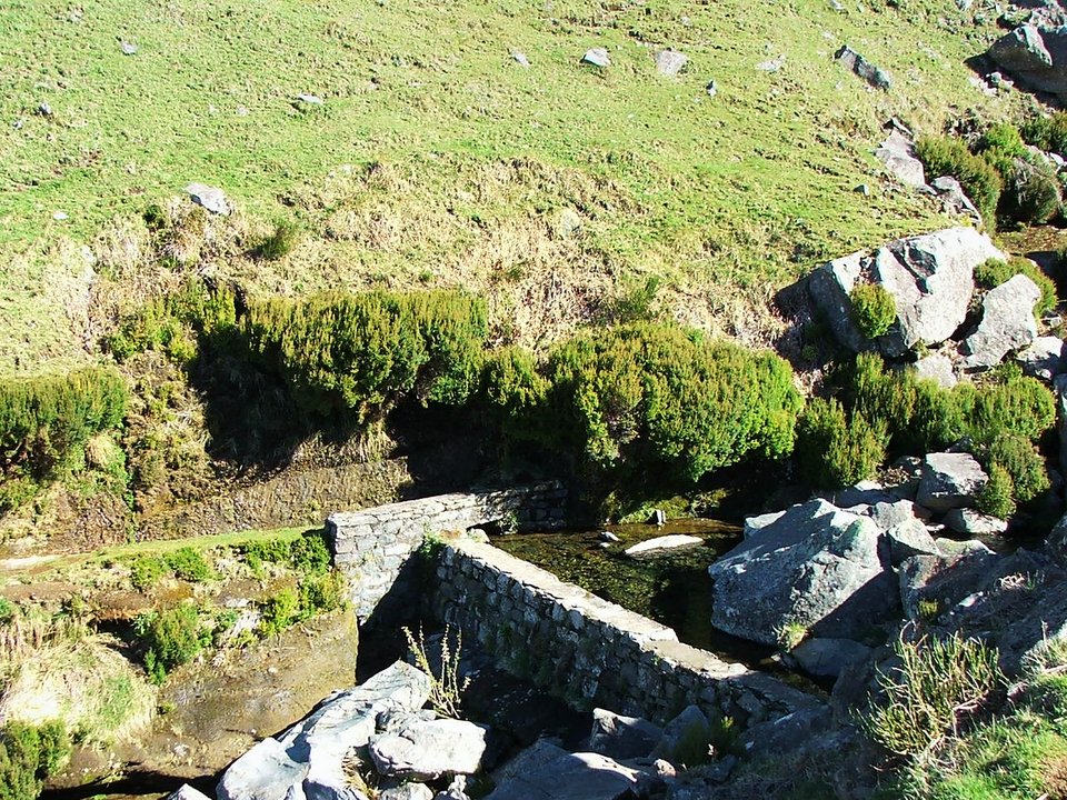
Levada do Paul, Not listed
Also known as: Levada Pequena do Paúl · Levada da Bica da Cana · Levada do Paúl II
Levada do Paul is an unclassified 13 km levada channel in Calheta running from Fonte do Juncal / Ribeira da Ponta do Sol to Calheta Hydroelectric Forebay. Not on the IFCN recommended PR list.
- Distance
- 13 km (channel length)
- Difficulty
- Not printed
- Channel (Madre → Fim)
- Fonte do Juncal / Ribeira da Ponta do Sol → Calheta Hydroelectric Forebay (13 km)
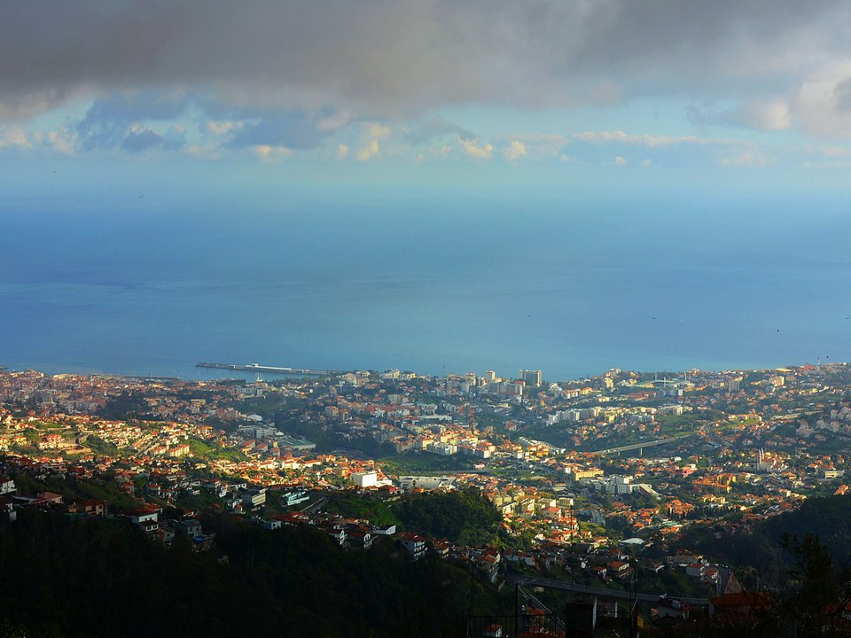
Levada do Pico do Curral, Not listed
Levada do Pico do Curral is an unclassified 2.2 km levada channel in Funchal running from Tributary of Ribeira de Vasco Gil, near Pico do Curral (1450 m) to Ribeira de Vasco Gil / Levada do Pico do Cardo (830 m). Not on the IFCN recommended PR list.
- Distance
- 2.2 km (channel length)
- Difficulty
- Not printed
- Elevation
- 620 m drop (1450 m to 830 m)
- Channel (Madre → Fim)
- Tributary of Ribeira de Vasco Gil, near Pico do Curral (1450 m) → Ribeira de Vasco Gil / Levada do Pico do Cardo (830 m) (2.2 km)
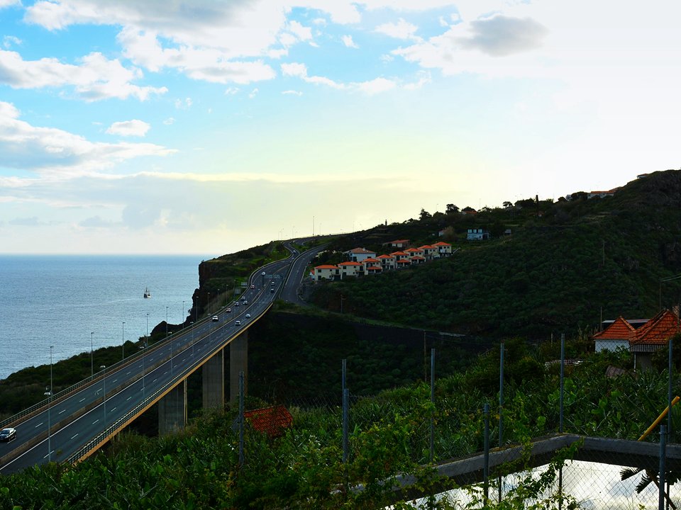
Levada do Pico dos Eiroses (Levada de Gaula), Not listed
Also known as: Levada de Gaula · Levada do Pico dos Eiroses
Levada do Pico dos Iroses is an unclassified 10 km levada channel in Santa Cruz running from Ribeira da Serra de Água (955 m) and Ribeira dos Vinháticos (925 m) to Porto Novo, Gaula (80 m). Not on the IFCN recommended PR list.
- Distance
- 10 km (channel length)
- Difficulty
- Not printed
- Elevation
- 875 m drop (955 m to 80 m)
- Channel (Madre → Fim)
- Ribeira da Serra de Água (955 m) and Ribeira dos Vinháticos (925 m) → Porto Novo, Gaula (80 m) (10 km (17 km including branches))
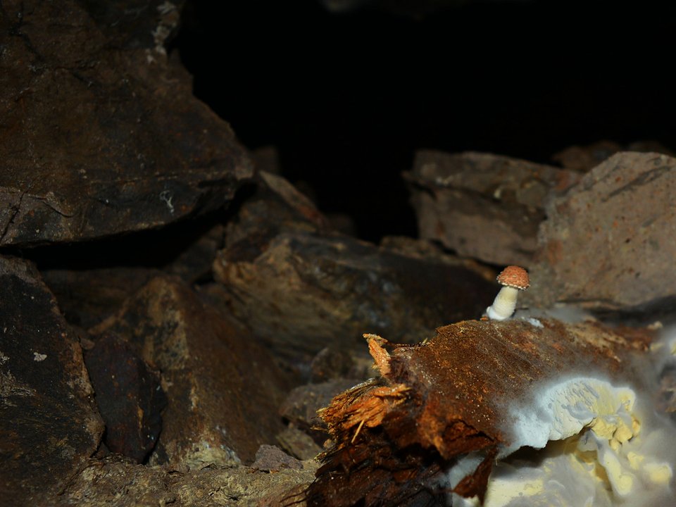
Levada do Pico Ruivo, Not listed
Also known as: Túnel do Pico Ruivo · Túnel dos Carris
Levada do Pico Ruivo is an unclassified 2.4 km levada channel in Santana running from Terminus of Levada do Caldeirão do Inferno (985 m) to Ribeira Seca do Faial (982 m). Not on the IFCN recommended PR list.
- Distance
- 2.4 km (channel length)
- Difficulty
- Not printed
- Elevation
- 3 m drop (985 m to 982 m)
- Channel (Madre → Fim)
- Terminus of Levada do Caldeirão do Inferno (985 m) → Ribeira Seca do Faial (982 m) (2.4 km)
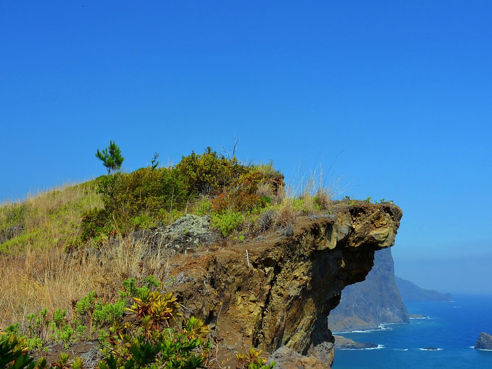
Levada do Poço do Arvoredo, Not listed
Levada do Poço do Arvoredo is an unclassified 1.75 km levada channel in Machico running from Poço do Arvoredo, Cova das Pedras (280 m) to Sítio da Canavieira, Larano, Porto da Cruz (165 m). Not on the IFCN recommended PR list.
- Distance
- 1.75 km (channel length)
- Difficulty
- Not printed
- Elevation
- 115 m drop (280 m to 165 m)
- Channel (Madre → Fim)
- Poço do Arvoredo, Cova das Pedras (280 m) → Sítio da Canavieira, Larano, Porto da Cruz (165 m) (1.75 km)
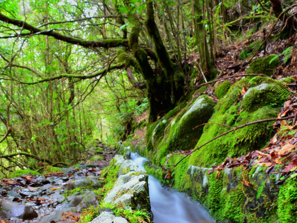
Levada do Poço do Bezerro, Not listed
Levada do Poço do Bezerro is an unclassified 1.25 km levada channel in Santana running from Ribeiro do Poço do Bezerro (1095 m) to Levada do Furado / Levada da Serra do Faial (860 m). Not on the IFCN recommended PR list.
- Distance
- 1.25 km (channel length)
- Difficulty
- Not printed
- Elevation
- 235 m drop (1095 m to 860 m)
- Channel (Madre → Fim)
- Ribeiro do Poço do Bezerro (1095 m) → Levada do Furado / Levada da Serra do Faial (860 m) (1.25 km)
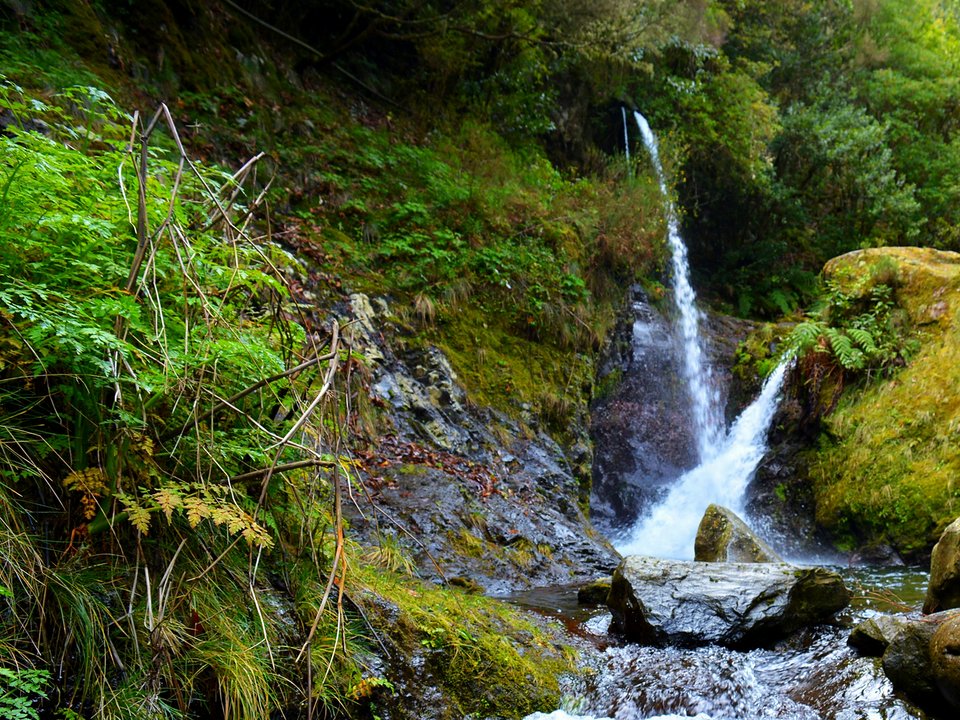
Levada do Posto Aquícola do Ribeiro Frio, Not listed
Levada do Posto Aquícola do Ribeiro Frio is an unclassified 0.25 km levada channel in Santana running from Ribeiro Frio (940 m) to Posto Aquícola do Ribeiro Frio (880 m). Not on the IFCN recommended PR list.
- Distance
- 0.25 km (channel length)
- Difficulty
- Not printed
- Elevation
- 60 m drop (940 m to 880 m)
- Channel (Madre → Fim)
- Ribeiro Frio (940 m) → Posto Aquícola do Ribeiro Frio (880 m) (0.25 km (250 m))
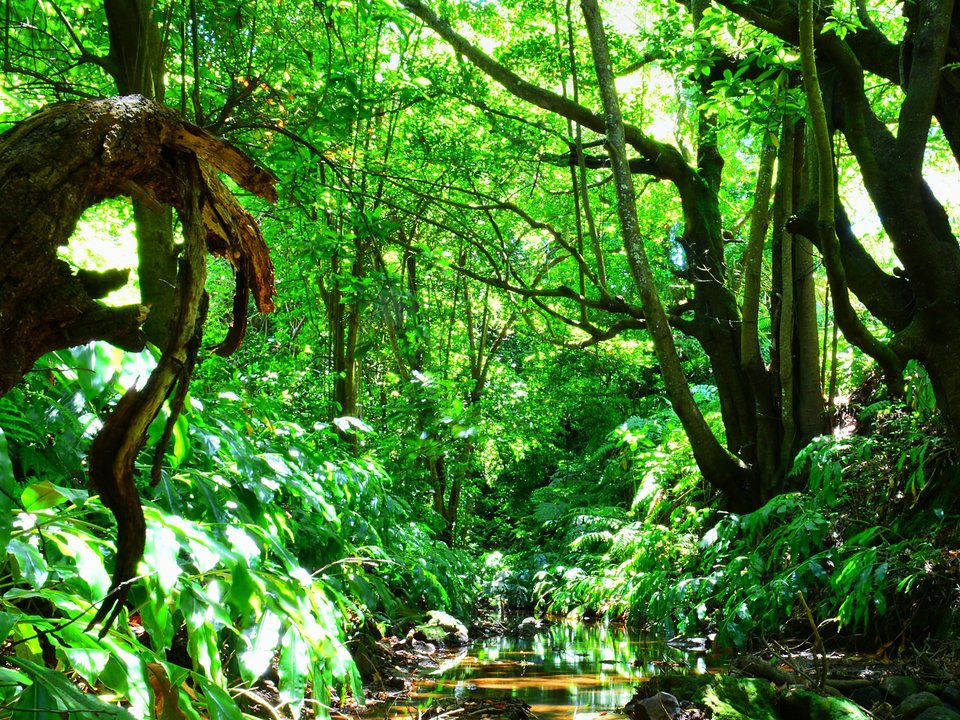
Levada do Rochão (Santana), Not listed
Levada do Rochão is an unclassified 1.5 km levada channel in Santana running from Ribeira de Santo António, Santana (430 m) to Rochão, Santana (390 m). Not on the IFCN recommended PR list.
- Distance
- 1.5 km (channel length)
- Difficulty
- Not printed
- Elevation
- 40 m drop (430 m to 390 m)
- Channel (Madre → Fim)
- Ribeira de Santo António, Santana (430 m) → Rochão, Santana (390 m) (1.5 km)
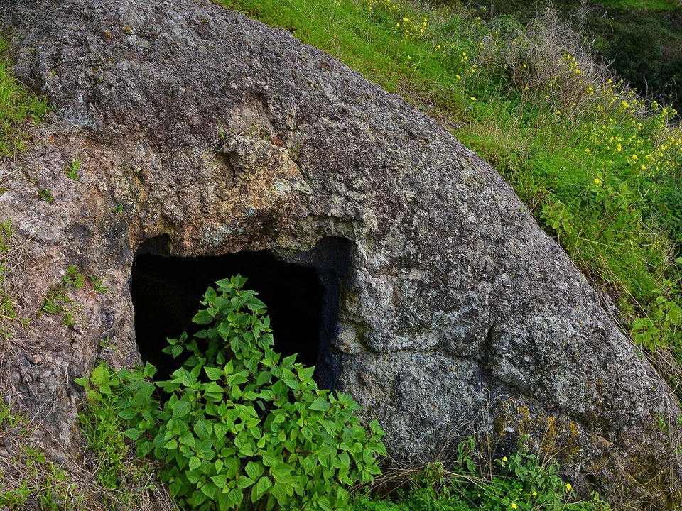
Levada do Teixo (Levada do Techo), Not listed
Also known as: Levada do Techo
Levada do Teixo is an unclassified 2.2 km levada channel in Ponta do Sol running from Ribeiro Frio, Ponta do Sol (750 m) to Fajã do Limão / Achada do Limão, Ponta do Sol (600 m). Not on the IFCN recommended PR list.
- Distance
- 2.2 km (channel length)
- Difficulty
- Not printed
- Elevation
- 150 m drop (750 m to 600 m)
- Channel (Madre → Fim)
- Ribeiro Frio, Ponta do Sol (750 m) → Fajã do Limão / Achada do Limão, Ponta do Sol (600 m) (2.2 km)
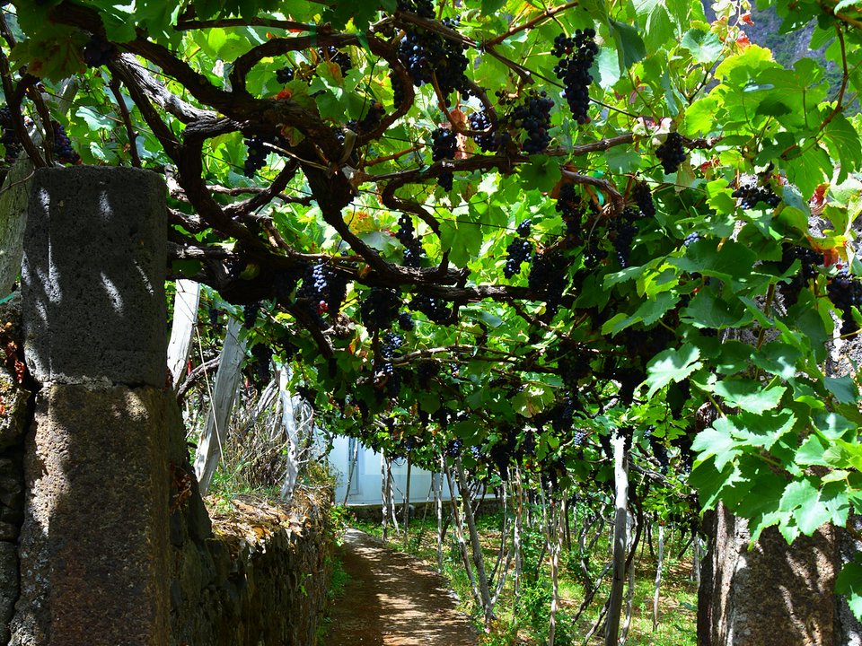
Levada do Vimieiro, Not listed
Levada do Vimieiro is an unclassified 2.7 km levada channel in São Vicente running from Ribeira do Passo (380 m) to Sítio do Lombo, São Vicente (200 m). Not on the IFCN recommended PR list.
- Distance
- 2.7 km (channel length)
- Difficulty
- Not printed
- Elevation
- 180 m drop (380 m to 200 m)
- Channel (Madre → Fim)
- Ribeira do Passo (380 m) → Sítio do Lombo, São Vicente (200 m) (2.7 km)
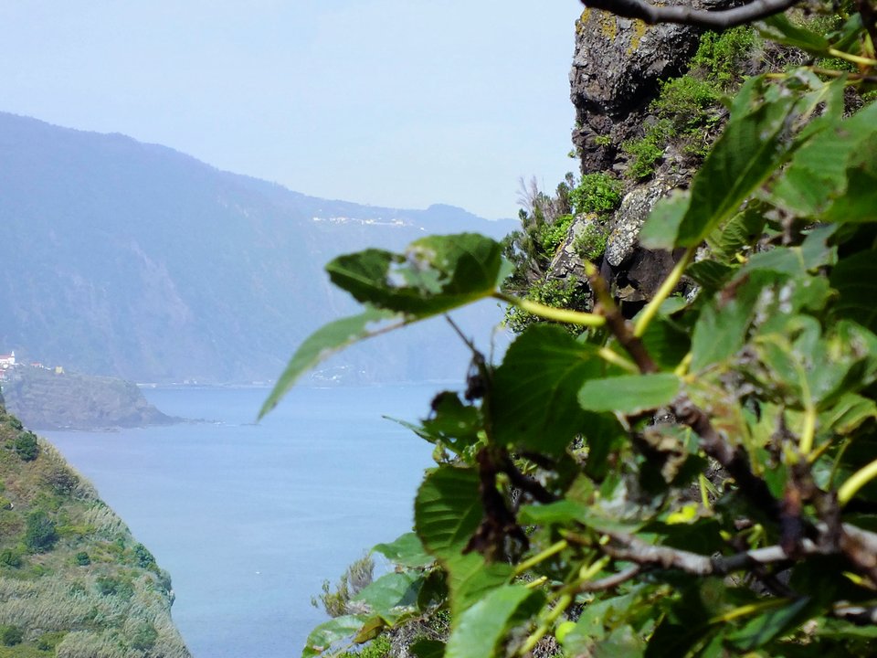
Levada dos Cardais (Levada Nova de São Vicente), Not listed
Also known as: Levada Nova de São Vicente
Levada dos Cardais is an unclassified 5.3 km levada channel in São Vicente running from Ribeira Grande, São Vicente (250 m) to Cardais de Baixo, São Vicente (130 m). Not on the IFCN recommended PR list.
- Distance
- 5.3 km (channel length)
- Difficulty
- Not printed
- Elevation
- 120 m drop (250 m to 130 m)
- Channel (Madre → Fim)
- Ribeira Grande, São Vicente (250 m) → Cardais de Baixo, São Vicente (130 m) (5.3 km)
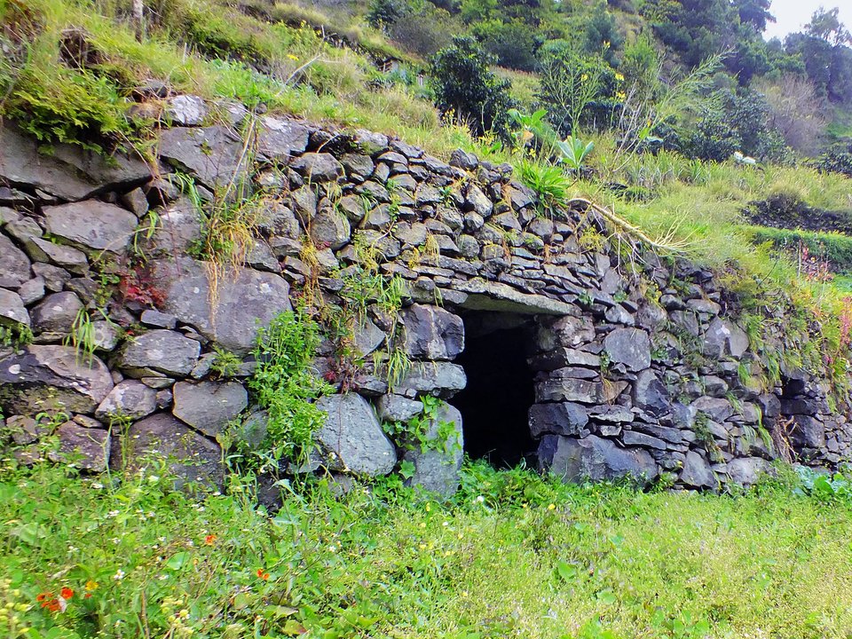
Levada dos Maroços, Not listed
Also known as: Levada do Caniçal
Levada dos Maroços is 12 km, easy. Not on the IFCN list.
- Distance
- 12 km
- Difficulty
- Easy
- Time
- 3 h 20 min
- Elevation
- 135 m ascent
- Channel (Madre → Fim)
- Fonte Vermelha / Ribeira de Machico → Sítio da Rochinha, Caniçal (15.5 km)
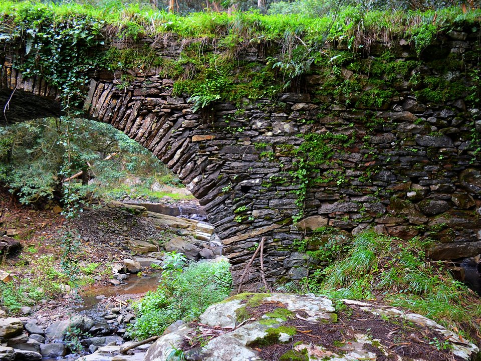
Levada dos Moinhos de Santa Cruz (Moinhos da Serra), Not listed
Also known as: Levada dos Moinhos da Serra
Levada dos Moinhos de Santa Cruz is an unclassified 6 km levada channel in Santa Cruz running from Sítio da Madre d'Água, Ribeira de Santa Cruz (435 m active branch / 440 m historic branch) to Sítio da Bemposta, Santa Cruz (220 m, 6 km active branch) / Sítio da Igreja, Água de Pena (170 m, 7.5 km historic branch). Not on the IFCN recommended PR list.
- Distance
- 6 km (channel length)
- Difficulty
- Not printed
- Elevation
- 215 m drop (435 m to 220 m) on active branch / 270 m drop (440 m to 170 m) on historic branch
- Channel (Madre → Fim)
- Sítio da Madre d'Água, Ribeira de Santa Cruz (435 m active branch / 440 m historic branch) → Sítio da Bemposta, Santa Cruz (220 m, 6 km active branch) / Sítio da Igreja, Água de Pena (170 m, 7.5 km historic branch) (6 km (active branch) / 7.5 km (historic branch))
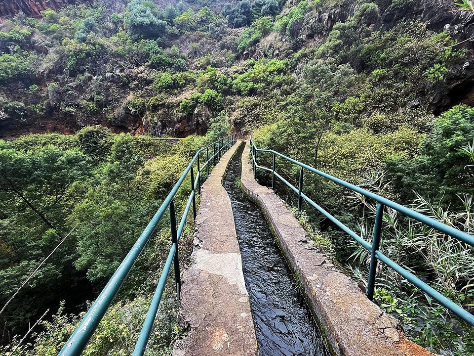
Levada dos Piornais, Not listed
Levada dos Piornais is 7 km each way, moderate. Not on the IFCN list.
- Distance
- 7 km each way
- Difficulty
- Moderate
- Time
- 2 h 30 min each way
- Elevation
- 206 m ascent
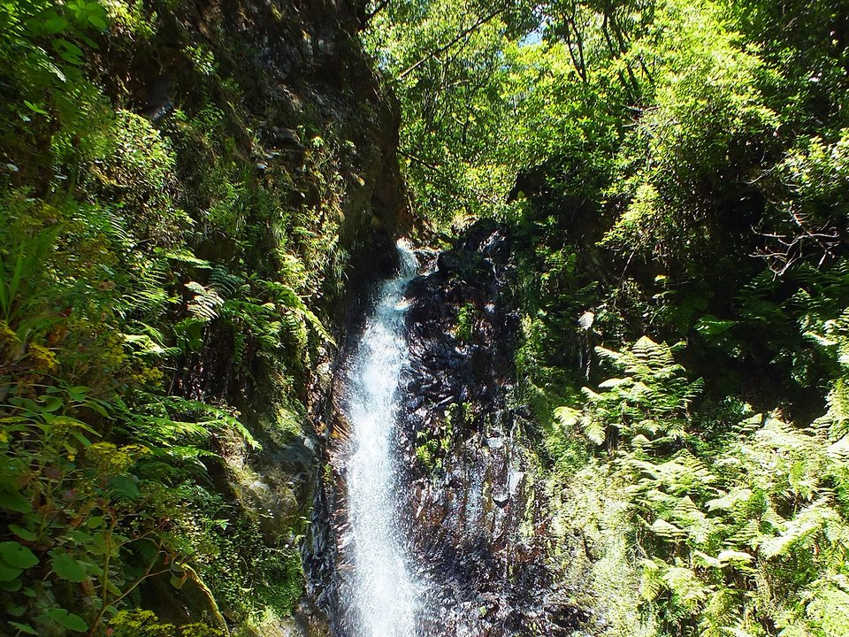
Levada dos Tornos, Boaventura, Not listed
Also known as: Levada dos Tornos (Lanço Norte)
Levada dos Tornos, Boaventura runs for 22 km in Boaventura from Tributary of Ribeira do Porco, Lombo do Urzal (660 m) to Sítio dos Tornos, Monte, Funchal (600 m). Not on the IFCN classified PR list.
- Distance
- Not printed
- Difficulty
- Hard
- Time
- 2 h 25 min
- Elevation
- 208 m ascent
- Channel (Madre → Fim)
- Tributary of Ribeira do Porco, Lombo do Urzal (660 m) → Sítio dos Tornos, Monte, Funchal (600 m) (22 km)
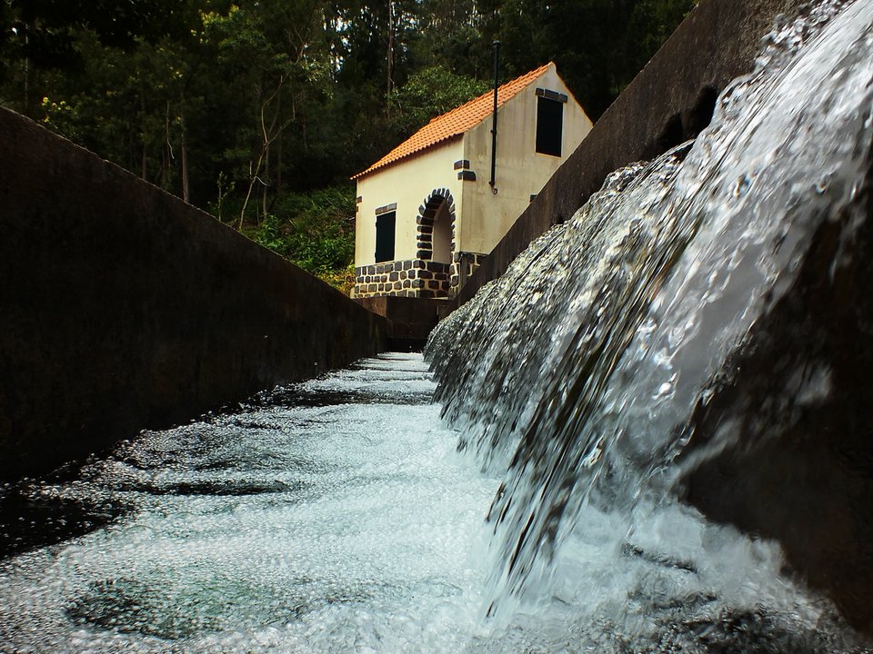
Levada dos Tornos, Funchal, Not listed
Also known as: Levada dos Tornos (Lanço Sul)
Levada dos Tornos, Funchal is 11.8 km, moderate. Not on the IFCN list.
- Distance
- 11.8 km
- Difficulty
- Moderate
- Time
- 3 h 41 min
- Elevation
- 145 m ascent
- Channel (Madre → Fim)
- Sítio dos Tornos, Monte, Funchal (600 m) → Serrado das Ameixieiras, Santo António da Serra (580 m) (30 km)
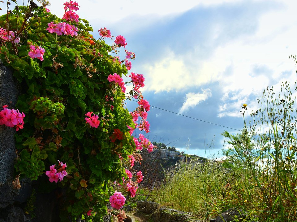
Levada dos Zimbreiros, Not listed
Also known as: Levada Nova da Ponta do Sol
Levada dos Zimbreiros is an unclassified 13 km levada channel in Ponta do Sol running from Ribeira da Ponta do Sol (410 m) to Lombo Cesteiro, Ribeira Brava (395 m). Not on the IFCN recommended PR list.
- Distance
- 13 km (channel length)
- Difficulty
- Not printed
- Elevation
- 15 m drop (410 m to 395 m)
- Channel (Madre → Fim)
- Ribeira da Ponta do Sol (410 m) → Lombo Cesteiro, Ribeira Brava (395 m) (13 km)
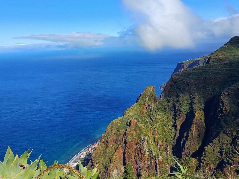
Levada from Calheta to Prazeres, Not listed
Levada Calheta–Prazeres is not on the IFCN classified list.
- Distance
- Not printed
- Difficulty
- Not printed
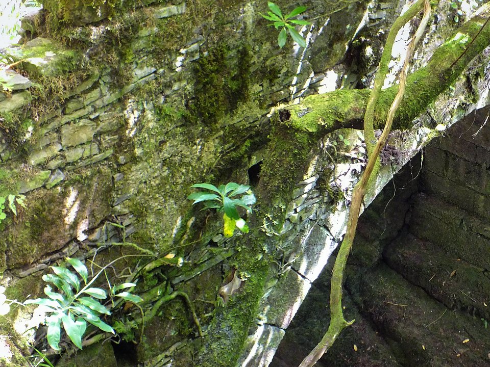
Levada from Prazeres to Raposeira, Not listed
Also known as: Levada Velha do Rabaçal (Prazeres–Raposeira Reach)
Levada Prazeres–Raposeira is an unclassified 24 km levada channel in Calheta running from Fontes do Risco (1050 m) to Lombo da Raposeira, Fajã da Ovelha (900 m). Not on the IFCN recommended PR list.
- Distance
- 24 km (channel length)
- Difficulty
- Not printed
- Elevation
- 150 m drop (1050 m to 900 m)
- Channel (Madre → Fim)
- Fontes do Risco (1050 m) → Lombo da Raposeira, Fajã da Ovelha (900 m) (24 km)
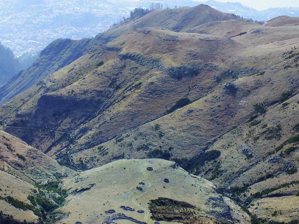
Levada Negra, Not listed
Also known as: Levada da Fonte do Terreiro do Freixo · Levada da Negra
Levada Negra is 16.3 km, hard. Not on the IFCN list.
- Distance
- 16.3 km
- Difficulty
- Hard
- Channel (Madre → Fim)
- Pico do Cedro (1700 m) and Ribeira de Santa Luzia (1540 m) → Sítio da Barreira, Santo António (790 m) (7 km)
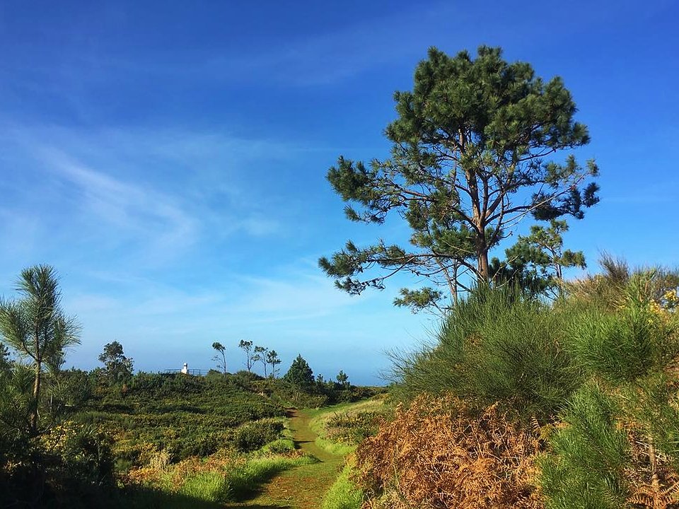
Levada Nova da Calheta, Ponta do Pargo, Not listed
Levada Nova da Calheta, Ponta do Pargo is 9.5 km loop, moderate. Not on the IFCN list.
- Distance
- 9.5 km loop
- Difficulty
- Moderate
- Time
- 3 h 15 min
- Elevation
- 320 m ascent
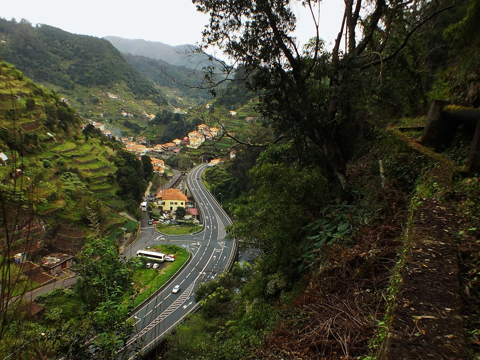
Levada Nova de Machico, Not listed
Levada Nova de Machico is an unclassified 6 km levada channel in Machico running from Fontes Vermelhas / Ribeira de Machico (310 m) to Queimada, Água de Pena (220 m). Not on the IFCN recommended PR list.
- Distance
- 6 km (channel length)
- Difficulty
- Not printed
- Elevation
- 90 m drop (310 m to 220 m)
- Channel (Madre → Fim)
- Fontes Vermelhas / Ribeira de Machico (310 m) → Queimada, Água de Pena (220 m) (6 km)
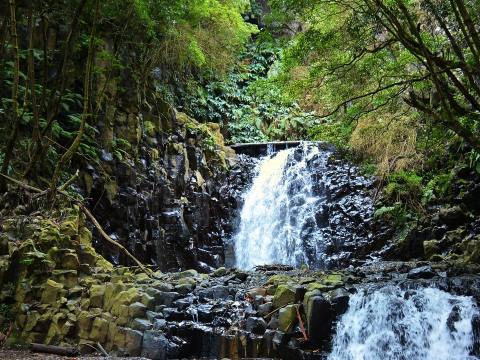
Levada Nova de Santa Cruz, Not listed
Also known as: Levada Nova do Poiso · Levada Nova do Santo da Serra
Levada Nova de Santa Cruz is an unclassified 10 km levada channel in Santa Cruz running from Ribeira de Santa Cruz (490 m) to Sítio da Igreja, Água de Pena (150 m). Not on the IFCN recommended PR list.
- Distance
- 10 km (channel length)
- Difficulty
- Not printed
- Elevation
- 340 m drop (490 m to 150 m)
- Channel (Madre → Fim)
- Ribeira de Santa Cruz (490 m) → Sítio da Igreja, Água de Pena (150 m) (10 km)
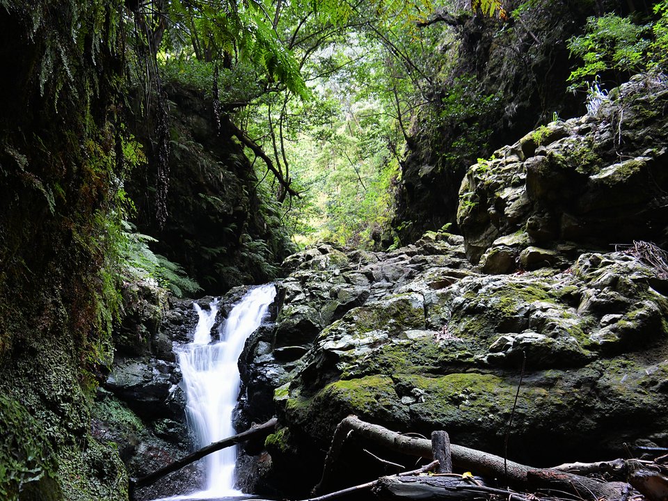
Levada Nova do Arco da Calheta, Not listed
Also known as: Levada da Calheta - Ponta do Sol · Levada do Arco da Calheta · Levada Nova dos Canhas
Levada Nova do Arco da Calheta is 5.6 km, moderate. Not on the IFCN list.
- Distance
- 5.6 km
- Difficulty
- Moderate
- Time
- 2 h 20 min
- Elevation
- 80 m ascent
- Channel (Madre → Fim)
- Central Hidroelétrica da Calheta (650 m) → Lombo das Terças, Ponta do Sol (620 m) (16 km)
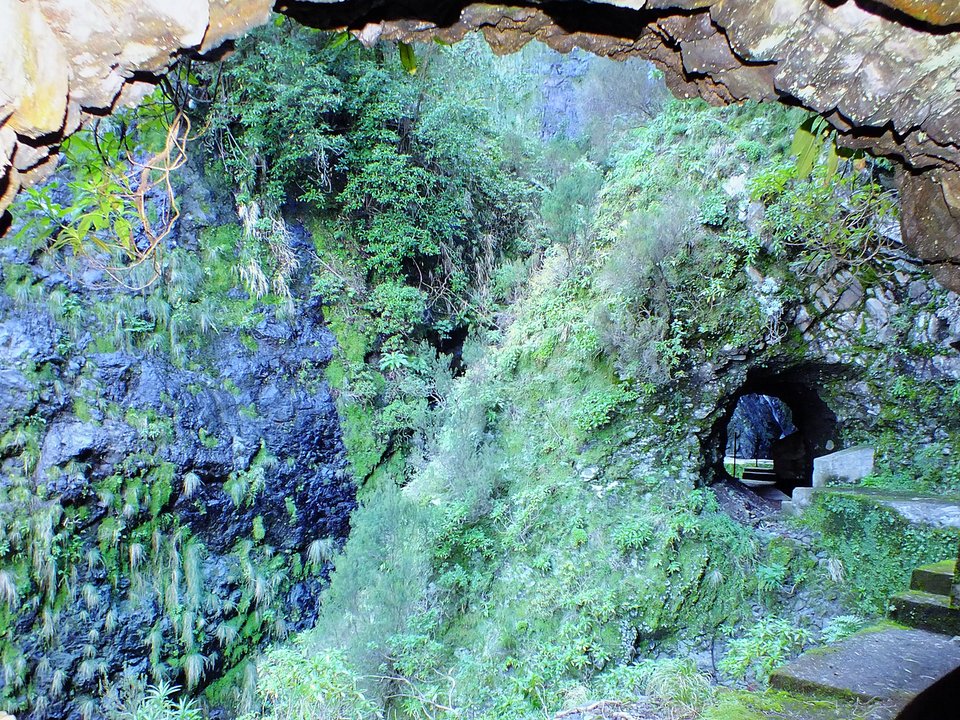
Levada Nova do Juncal, Not listed
Levada Nova do Juncal is an unclassified 3.64 km levada channel in Santana running from Ribeira do Juncal (976 m) to Câmara de Carga do Pico da Nogueira (968 m). Not on the IFCN recommended PR list.
- Distance
- 3.64 km (channel length)
- Difficulty
- Not printed
- Elevation
- 8 m drop (976 m to 968 m)
- Channel (Madre → Fim)
- Ribeira do Juncal (976 m) → Câmara de Carga do Pico da Nogueira (968 m) (3.64 km)
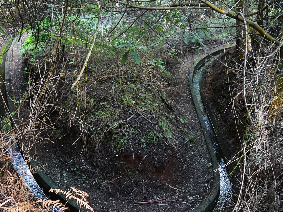
Levada Nova, Santo da Serra, Not listed
Also known as: Levada Nova do Santo da Serra · Levada Nova do Poiso
Levada Nova, Santo da Serra is an unclassified 10 km levada channel in Santa Cruz running from Ribeira de Santa Cruz (490 m) to Sítio da Igreja, Água de Pena (150 m). Not on the IFCN recommended PR list.
- Distance
- 10 km (channel length)
- Difficulty
- Not printed
- Elevation
- 340 m drop (490 m to 150 m)
- Channel (Madre → Fim)
- Ribeira de Santa Cruz (490 m) → Sítio da Igreja, Água de Pena (150 m) (10 km)
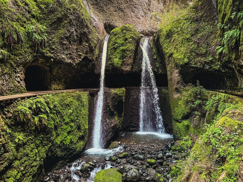
Levada Nova, Tabua, Not listed
Levada Nova, Tabua is 8.5 km loop, moderate. Not on the IFCN list.
- Distance
- 8.5 km loop
- Difficulty
- Moderate
- Time
- 3 h 29 min
- Elevation
- 151 m ascent
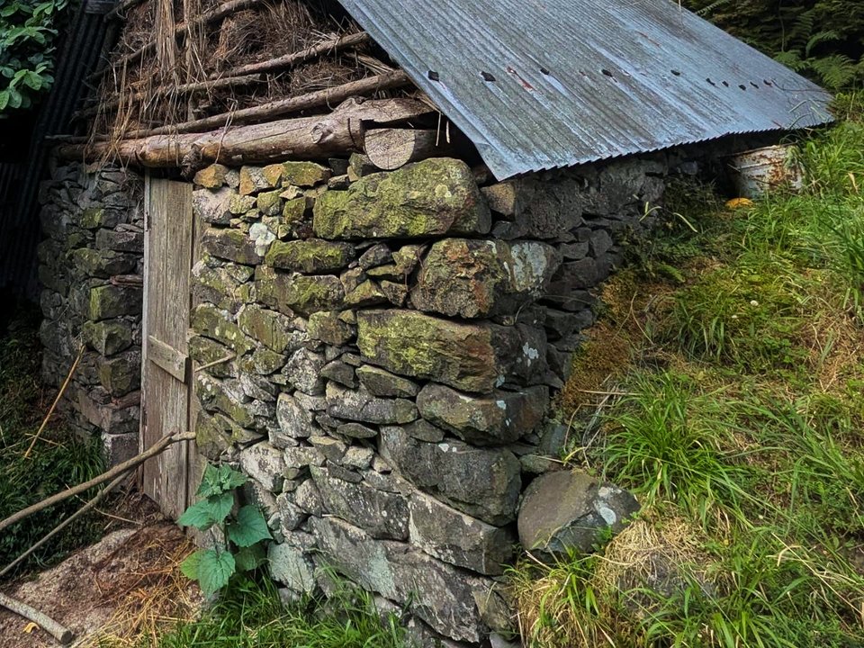
Ligação Achada do Marques to Chão das Faias, Not listed
Ligação Achada do Marques to Chão das Faias is 1.7 km, hard. Not on the IFCN list.
- Distance
- 1.7 km
- Difficulty
- Hard
- Time
- 55 min
- Elevation
- 189 m ascent, 429 m descent
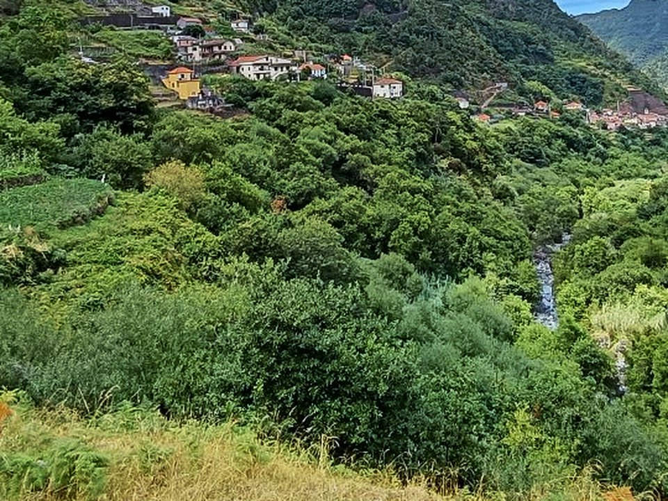
Lombo do Urzal, Falca and Poço das Casas, Not listed
Lombo do Urzal, Falca and Poço das Casas is 2.7 km, moderate. Not on the IFCN list.
- Distance
- 2.7 km
- Difficulty
- Moderate
- Time
- 1 h 30 min
- Elevation
- 118 m ascent, 139 m descent
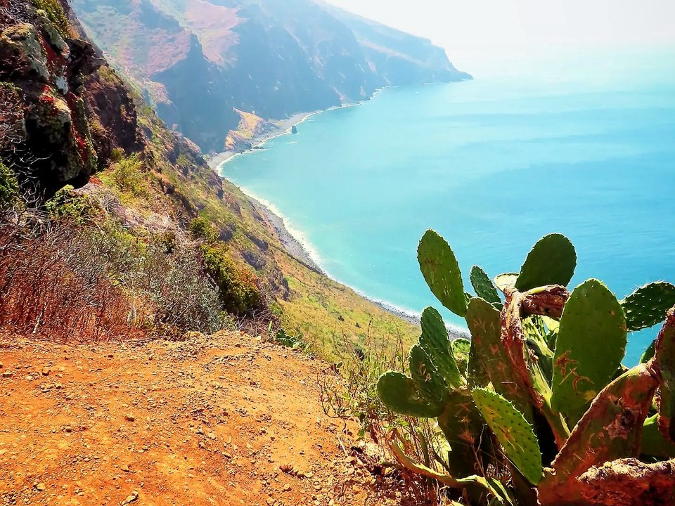
Miradouro do Fio ao Farol, Not listed
Miradouro do Fio ao Farol is 0.9 km each way, easy. Not on the IFCN list.
- Distance
- 0.9 km each way
- Difficulty
- Easy
- Time
- 25 min each way
- Elevation
- 72 m ascent
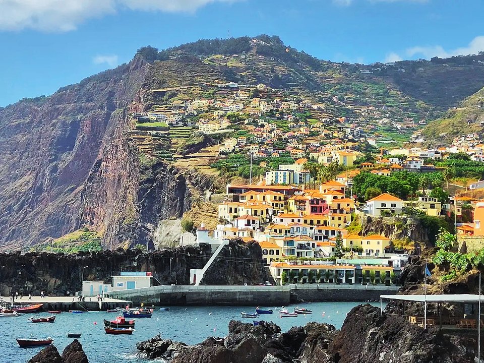
Passeio Marítimo, Câmara de Lobos, Not listed
Passeio Marítimo, Câmara de Lobos is 4.4 km, easy. Not on the IFCN list.
- Distance
- 4.4 km
- Difficulty
- Easy
- Time
- 1 h 10 min
- Elevation
- 98 m ascent, 100 m descent
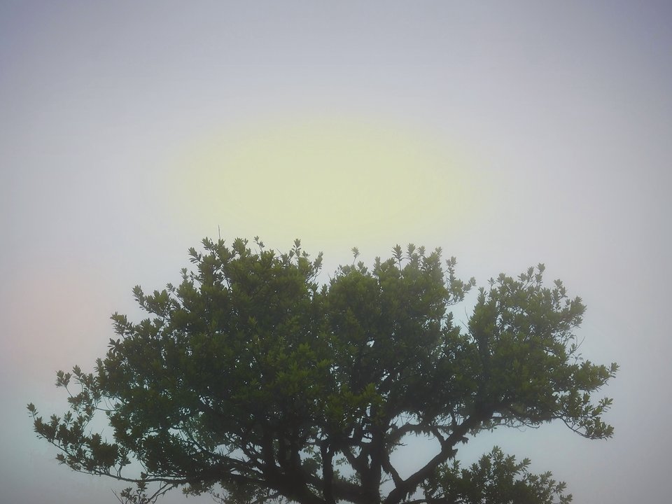
Pequena Rota do Fanal, Not listed
Pequena Rota do Fanal is 2.1 km loop, easy. Not on the IFCN list.
- Distance
- 2.1 km loop
- Difficulty
- Easy
- Time
- 1 h 15 min
- Elevation
- 70 m ascent, 83 m descent
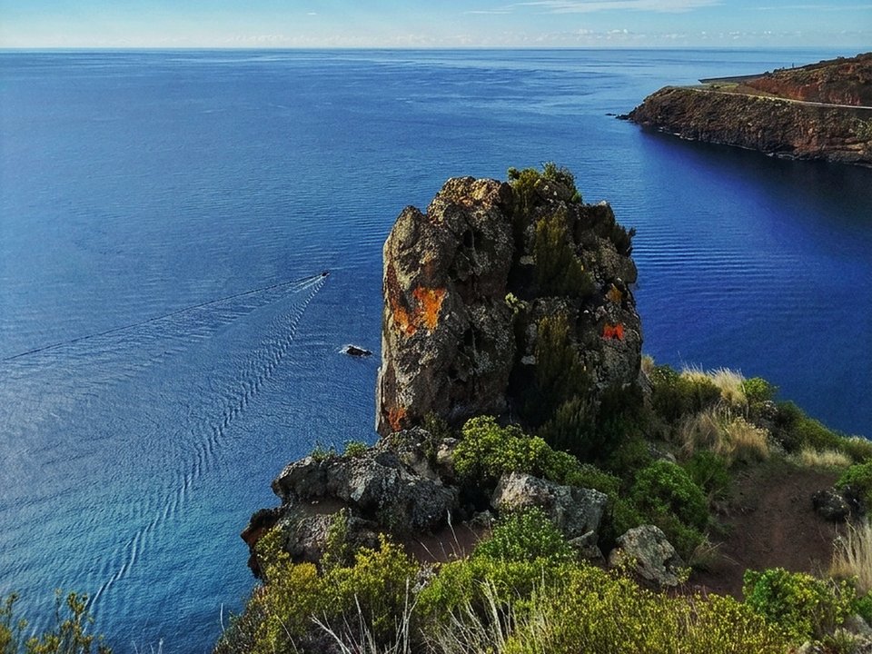
Pico do Facho, Not listed
Pico do Facho is 6.8 km, moderate coastal ridge walk. Not on the IFCN list.
- Distance
- 6.8 km
- Difficulty
- Moderate
- Time
- 2 h 10 min
- Elevation
- 330 m ascent and descent
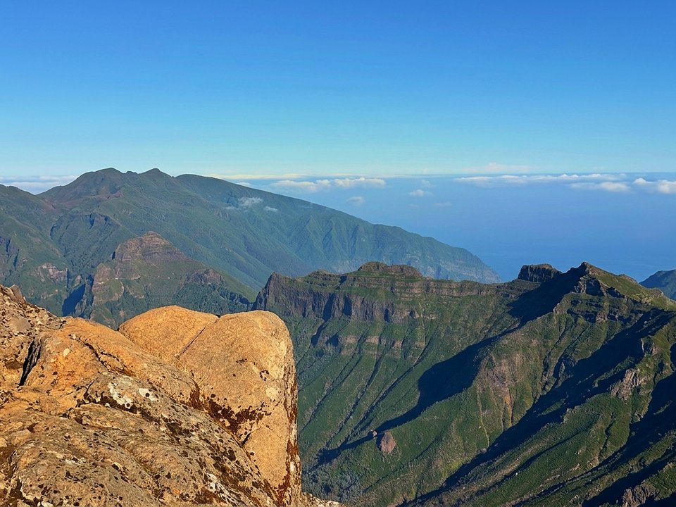
Pico Grande from Boca da Corrida, Not listed
Pico Grande from Boca da Corrida is 4.7 km each way, hard. Not on the IFCN list.
- Distance
- 4.7 km each way
- Difficulty
- Hard
- Time
- 45 min each way
- Elevation
- 923 m ascent
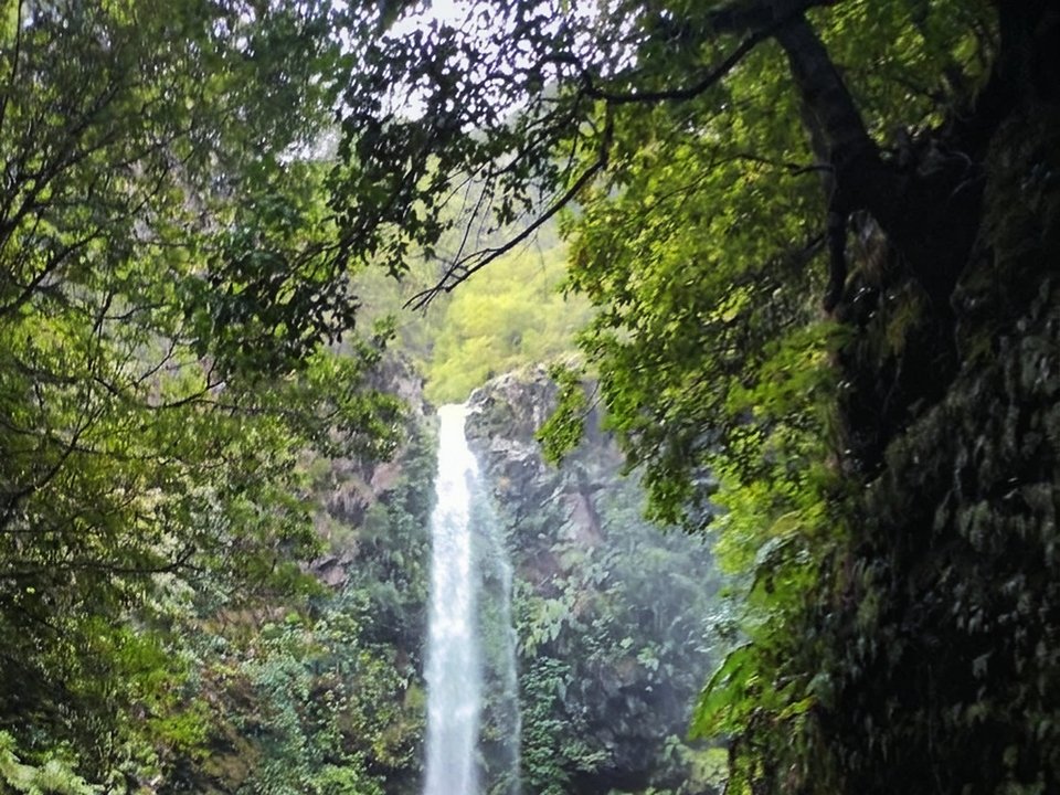
Poço do Candeeiro, Not listed
Poço do Candeeiro is 0.6 km each way, easy. Not on the IFCN list.
- Distance
- 0.6 km each way
- Difficulty
- Easy
- Time
- 15 min each way
- Elevation
- 101 m ascent
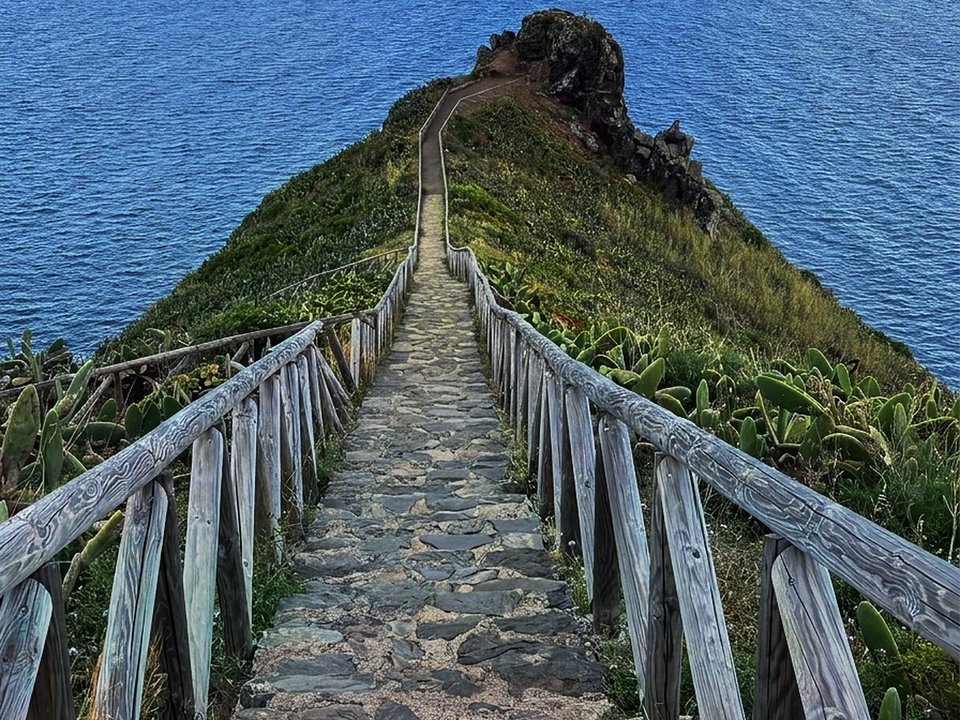
Ponta do Clérigo, Not listed
Ponta do Clérigo is 6.2 km, moderate cliff ridge walk. Not on the IFCN list.
- Distance
- 6.2 km
- Difficulty
- Moderate
- Time
- 2 h 15 min
- Elevation
- 380 m ascent and descent
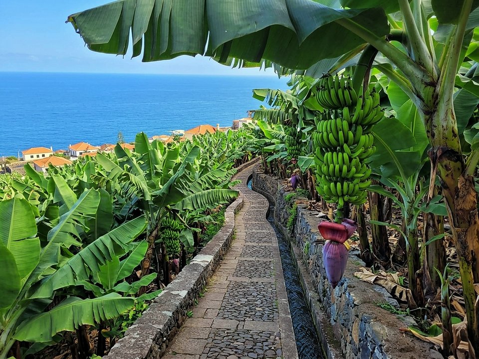
Rota da Banana, Not listed
Rota da Banana is 1.5 km loop, easy. Not on the IFCN list.
- Distance
- 1.5 km loop
- Difficulty
- Easy
- Time
- 40 min
- Elevation
- 28 m ascent, 30 m descent
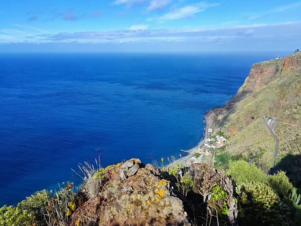
Vereda da Atalaia, Not listed
Vereda da Atalaia is 2.7 km, hard. Not on the IFCN list.
- Distance
- 2.7 km
- Difficulty
- Hard
- Time
- 1 h 10 min
- Elevation
- 0 m ascent, 598 m descent
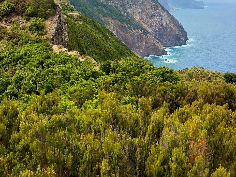
Vereda da Boca do Risco, Not listed
Vereda da Boca do Risco is 2.2 km, moderate. Not on the IFCN list.
- Distance
- 2.2 km
- Difficulty
- Moderate
- Time
- 1 h
- Elevation
- 207 m ascent, 0 m descent
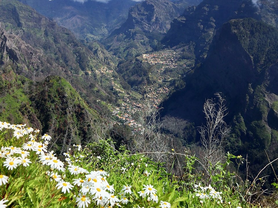
Vereda da Boca dos Namorados, Not listed
Vereda da Boca dos Namorados is 2.5 km, hard. Not on the IFCN list.
- Distance
- 2.5 km
- Difficulty
- Hard
- Time
- 1 h 2 min
- Elevation
- 53 m ascent, 641 m descent
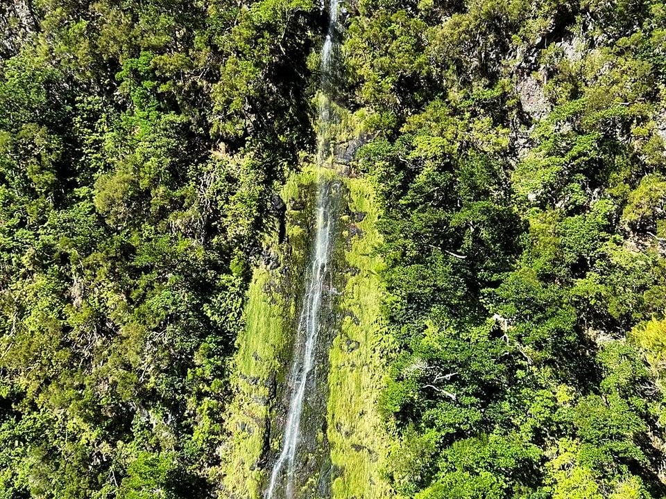
Vereda da Cavaca, Not listed
Vereda da Cavaca is 5.3 km, hard. Not on the IFCN list.
- Distance
- 5.3 km
- Difficulty
- Hard
- Time
- 3 h
- Elevation
- 857 m ascent, 52 m descent
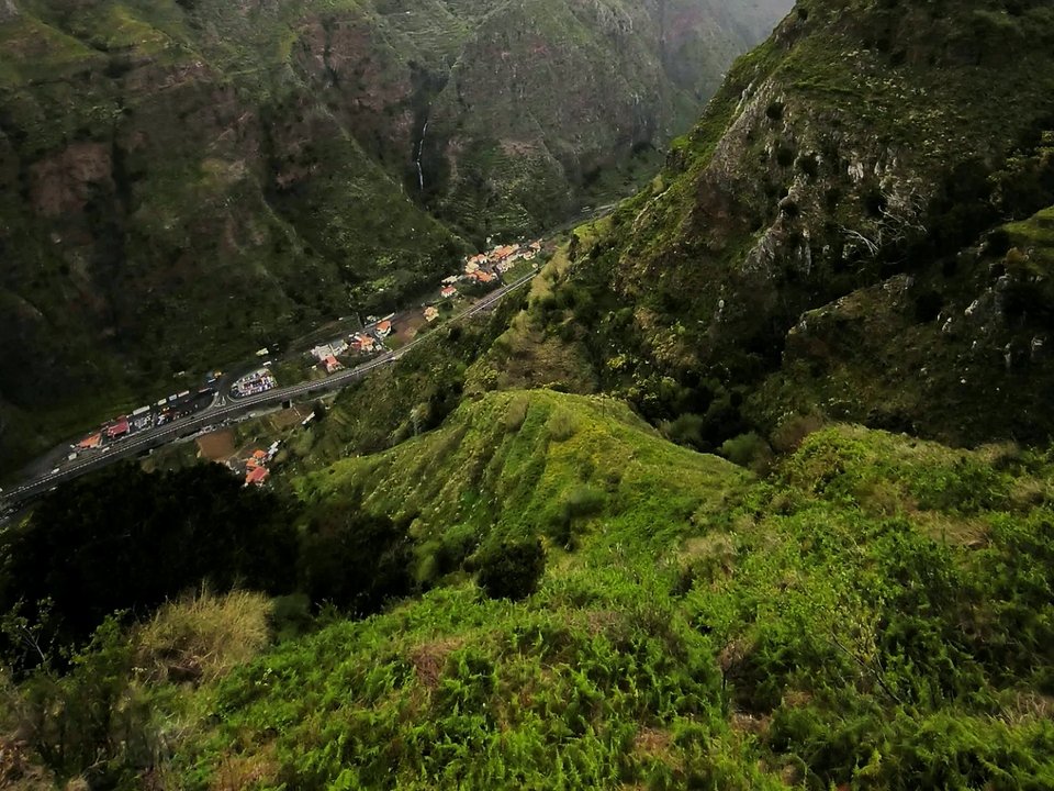
Vereda da Eira do Mourão, Not listed
Vereda da Eira do Mourão is 1.4 km, moderate. Not on the IFCN list.
- Distance
- 1.4 km
- Difficulty
- Moderate
- Time
- 50 min
- Elevation
- 33 m ascent, 331 m descent
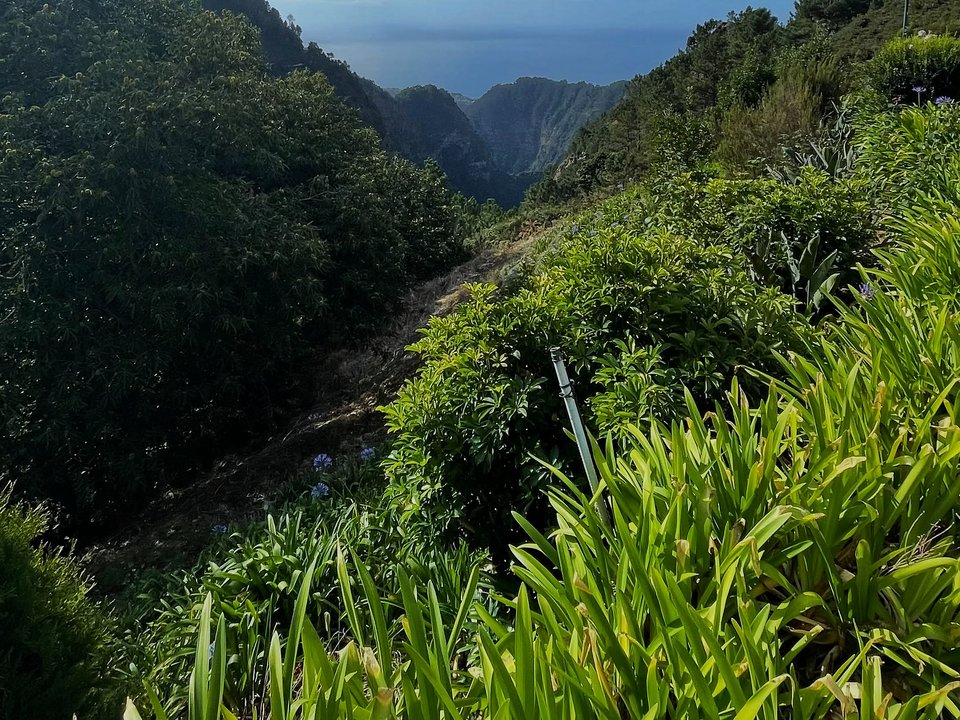
Vereda da Eira do Serrado, Not listed
Vereda da Eira do Serrado is 2.2 km, moderate. Not on the IFCN list.
- Distance
- 2.2 km
- Difficulty
- Moderate
- Time
- 1 h 15 min
- Elevation
- 162 m ascent, 556 m descent
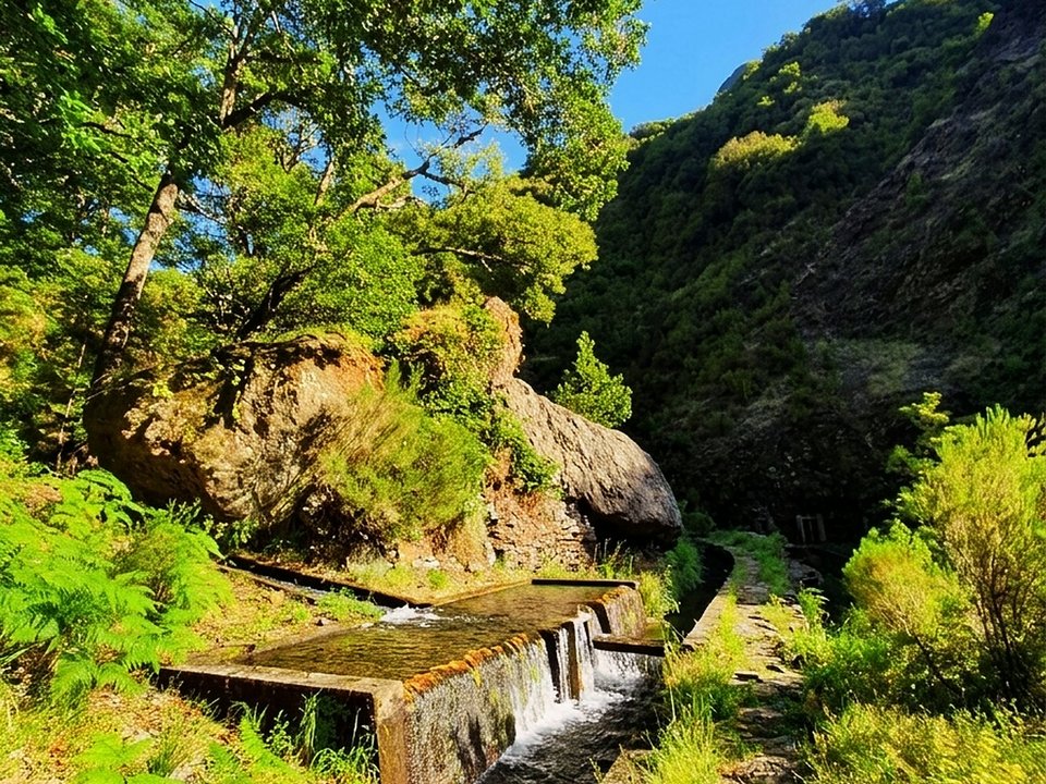
Vereda da Fajã da Nogueira, Not listed
Vereda da Fajã da Nogueira is 7.1 km, hard. Not on the IFCN list.
- Distance
- 7.1 km
- Difficulty
- Hard
- Time
- 4 h
- Elevation
- 563 m ascent
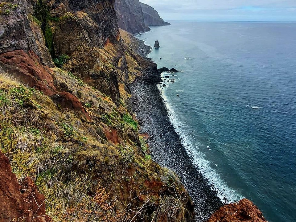
Vereda da Fajã Grande, Not listed
Vereda da Fajã Grande is 1.5 km each way, hard. Not on the IFCN list.
- Distance
- 1.5 km each way
- Difficulty
- Hard
- Time
- 1 h 15 min each way
- Elevation
- 425 m ascent
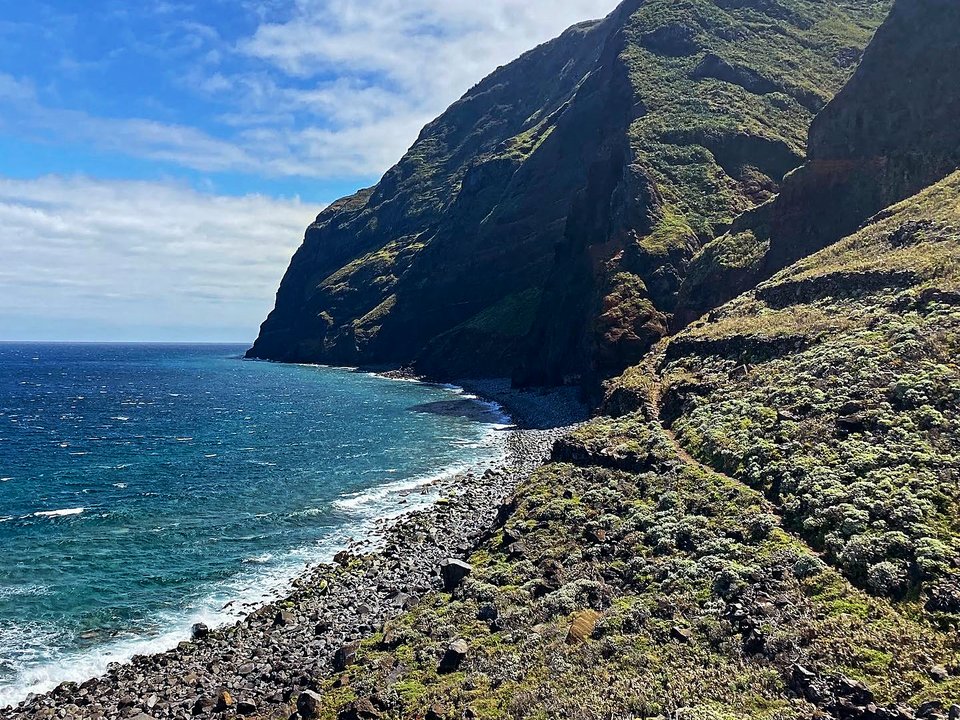
Vereda da Ladeira, Not listed
Vereda da Ladeira is 2 km each way, hard. Not on the IFCN list.
- Distance
- 2 km each way
- Difficulty
- Hard
- Time
- 1 h 30 min each way
- Elevation
- 575 m ascent
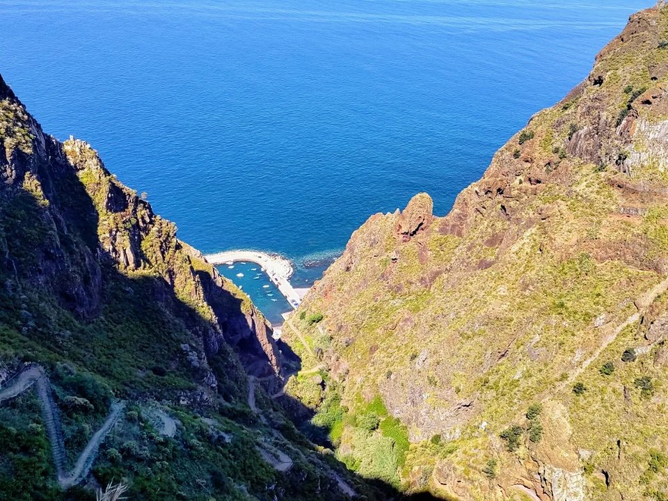
Vereda da Maloeira, Not listed
Vereda da Maloeira is 7.0 km, moderate ravine circuit. Not on the IFCN list.
- Distance
- 7.0 km
- Difficulty
- Moderate
- Time
- 2 h 30 min
- Elevation
- 350 m ascent and descent
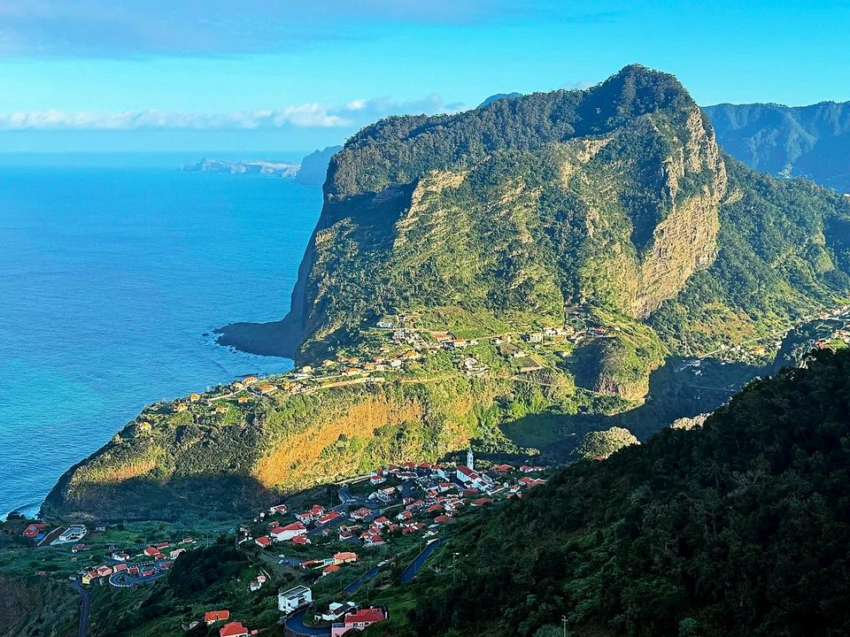
Vereda da Penha d'Águia, Not listed
Vereda da Penha d'Águia is 1.7 km each way, hard. Not on the IFCN list.
- Distance
- 1.7 km each way
- Difficulty
- Hard
- Time
- 52 min each way
- Elevation
- 301 m ascent
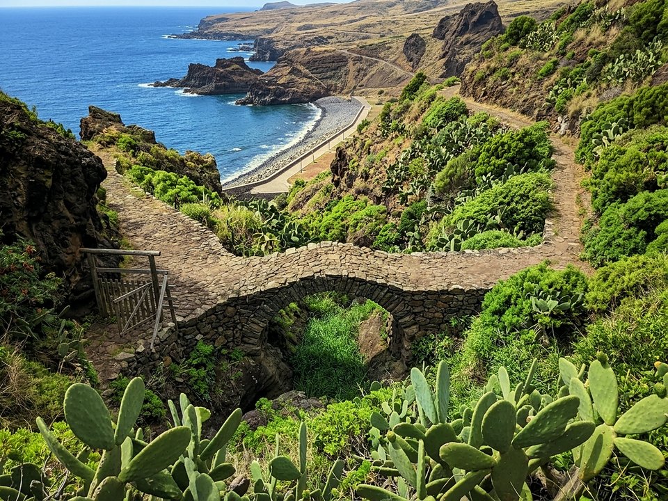
Vereda da Ribeira do Natal, Not listed
Vereda da Ribeira do Natal is 2.6 km, moderate. Not on the IFCN list.
- Distance
- 2.6 km
- Difficulty
- Moderate
- Time
- 1 h 30 min
- Elevation
- 31 m ascent, 300 m descent
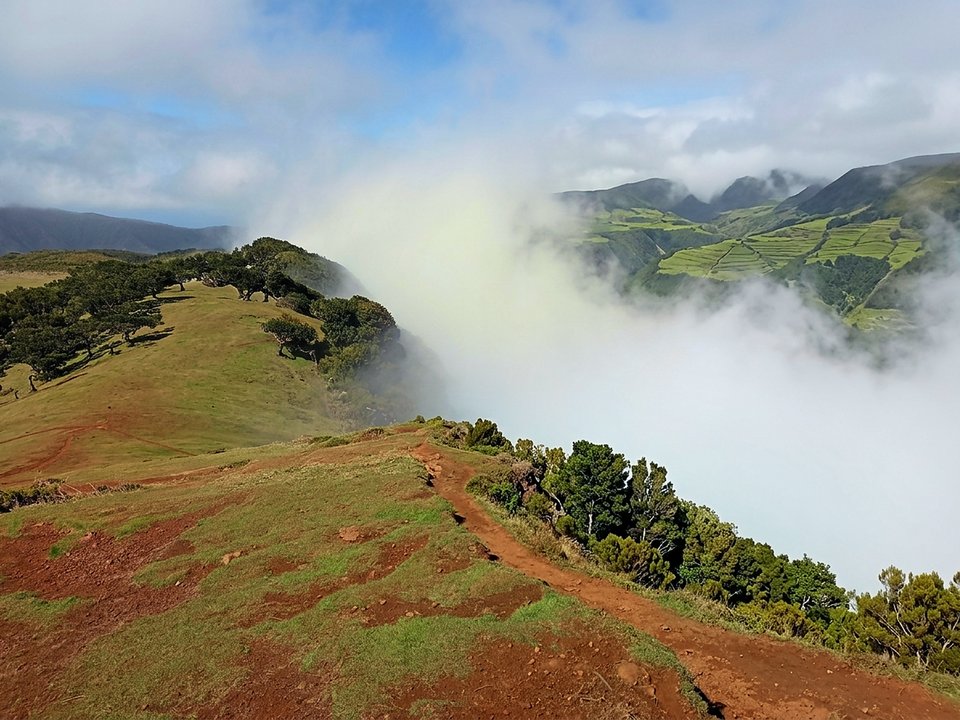
Vereda da Ribeira Funda, Not listed
Vereda da Ribeira Funda is 4.9 km, hard. Not on the IFCN list.
- Distance
- 4.9 km
- Difficulty
- Hard
- Time
- 3 h
- Elevation
- 1018 m ascent, 20 m descent
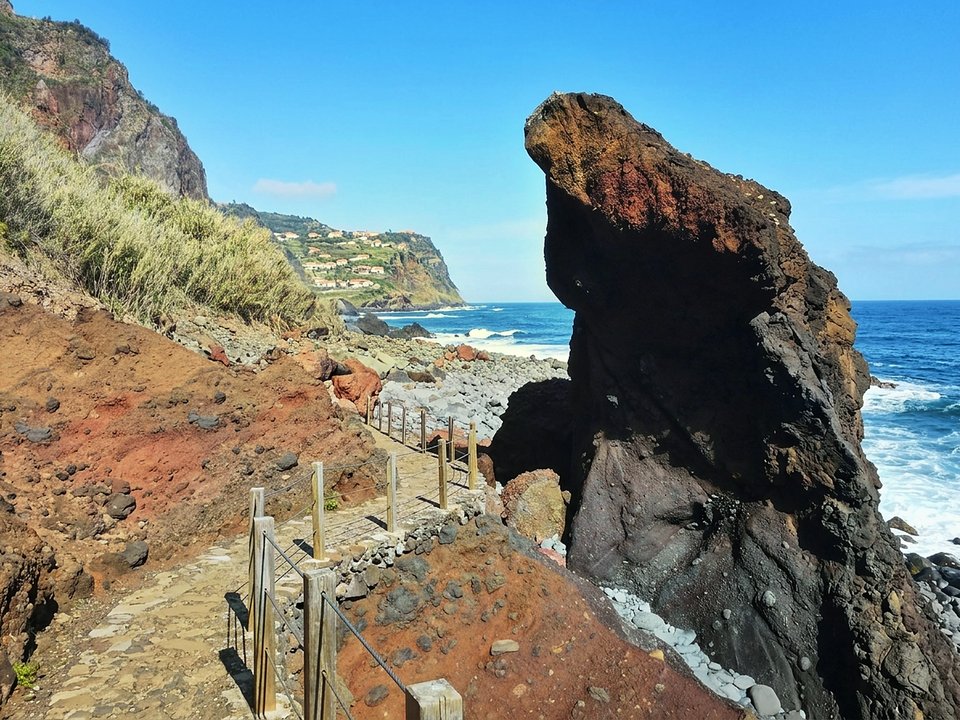
Vereda da Rocha do Navio, Not listed
Vereda da Rocha do Navio is 1.6 km each way, hard. Not on the IFCN list.
- Distance
- 1.6 km each way
- Difficulty
- Hard
- Time
- 30 min each way
- Elevation
- 482 m ascent
Vereda da Terra Baptista, Not listed
Vereda da Terra Baptista is 3.6 km each way, hard. Not on the IFCN list.
- Distance
- 3.6 km each way
- Difficulty
- Hard
- Time
- 1 h 40 min each way
- Elevation
- 670 m ascent
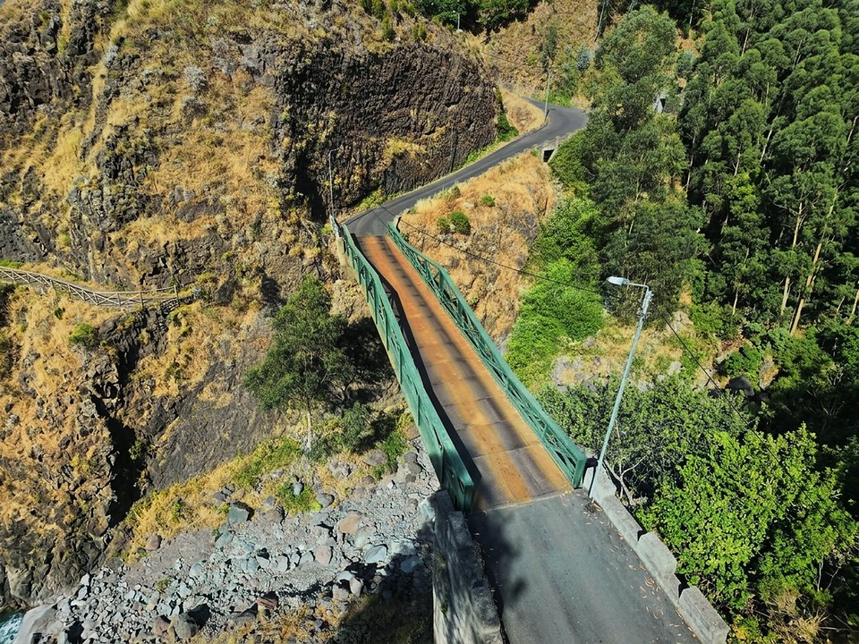
Vereda da Terra Chã, Not listed
Vereda da Terra Chã is 8.8 km, hard. Not on the IFCN list.
- Distance
- 8.8 km
- Difficulty
- Hard
- Time
- 4 h
- Elevation
- 1220 m ascent, 224 m descent
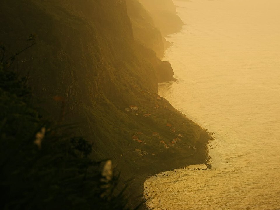
Vereda da Vigia, Not listed
Vereda da Vigia is 0.7 km each way, easy. Not on the IFCN list.
- Distance
- 0.7 km each way
- Difficulty
- Easy
- Time
- 22 min each way
- Elevation
- 77 m ascent
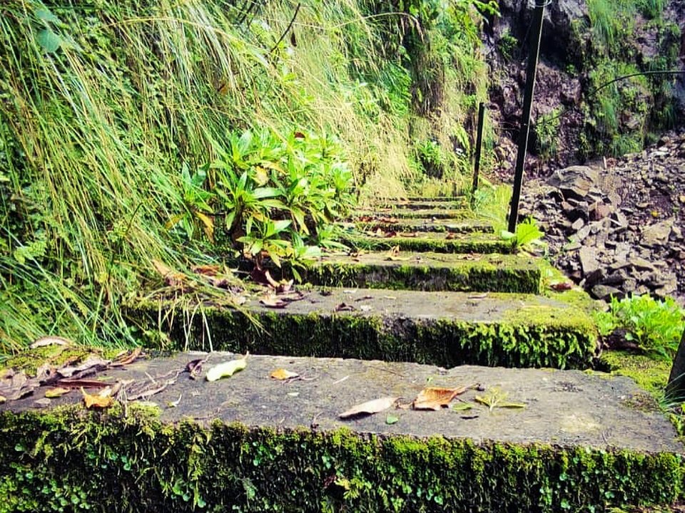
Vereda das Feitas, Not listed
Vereda das Feitas is 2.6 km each way, hard. Not on the IFCN list.
- Distance
- 2.6 km each way
- Difficulty
- Hard
- Time
- 1 h 10 min
- Elevation
- 684 m ascent
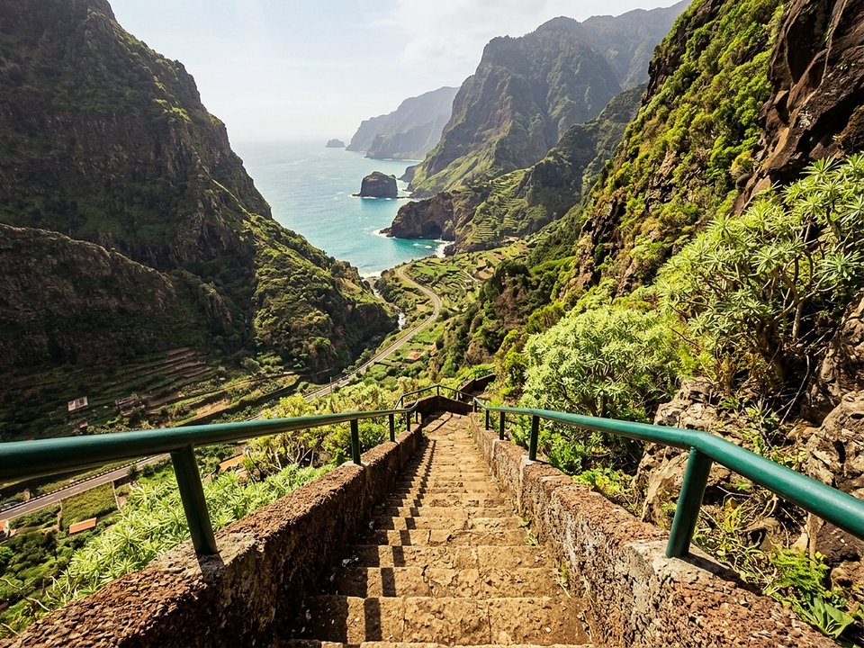
Vereda das Furnas, Not listed
Vereda das Furnas is 1.4 km, moderate. Not on the IFCN list.
- Distance
- 1.4 km
- Difficulty
- Moderate
- Time
- 50 min
- Elevation
- 34 m ascent, 404 m descent
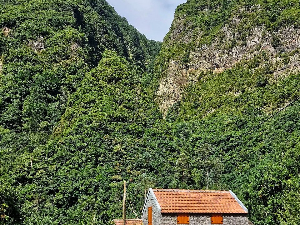
Vereda das Voltas, Not listed
Vereda das Voltas is 3.4 km, hard. Not on the IFCN list.
- Distance
- 3.4 km
- Difficulty
- Hard
- Time
- 1 h 40 min
- Elevation
- 871 m ascent, 42 m descent
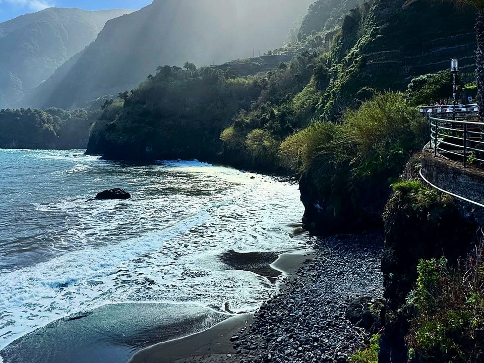
Vereda do Calhau, Not listed
Vereda do Calhau is 2.3 km, moderate. Not on the IFCN list.
- Distance
- 2.3 km
- Difficulty
- Moderate
- Time
- 1 h 30 min
- Elevation
- 23 m ascent, 485 m descent
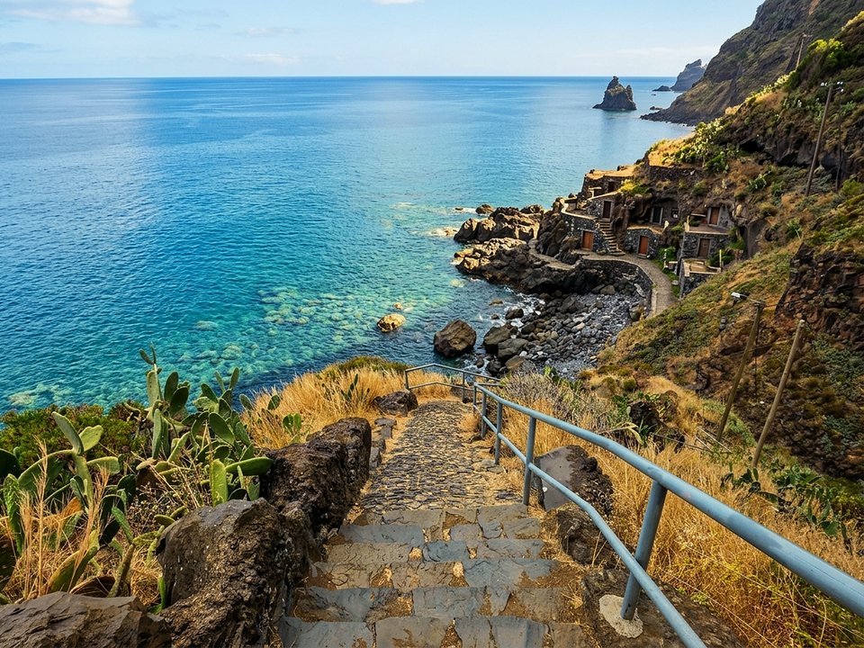
Vereda do Calhau da Lapa, Not listed
Vereda do Calhau da Lapa is 1 km each way, moderate. Not on the IFCN list.
- Distance
- 1 km each way
- Difficulty
- Moderate
- Time
- 30 min each way
- Elevation
- 247 m ascent
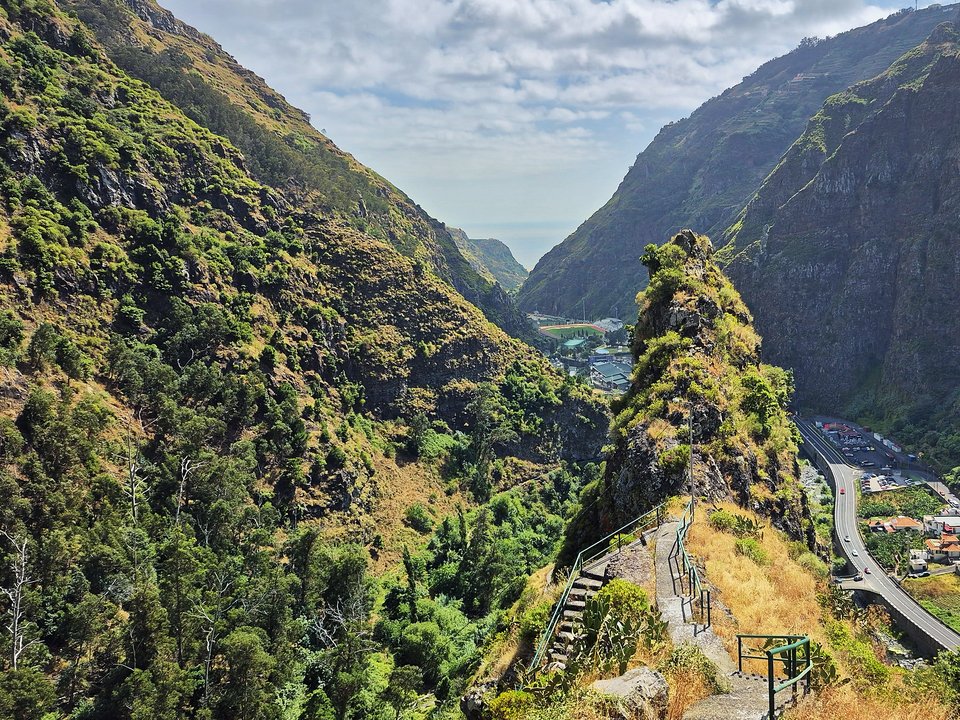
Vereda do Espigão, Not listed
Vereda do Espigão is 1.9 km, moderate. Not on the IFCN list.
- Distance
- 1.9 km
- Difficulty
- Moderate
- Time
- 1 h
- Elevation
- 0 m ascent, 542 m descent
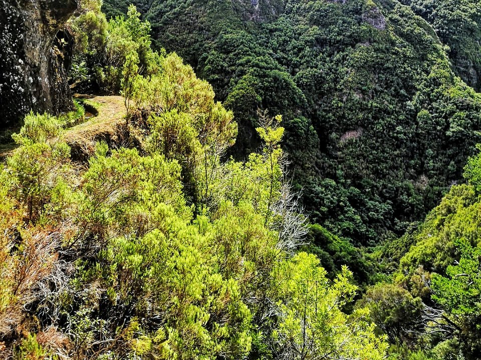
Vereda do Galhano and Levada da Ribeira da Janela, Not listed
Vereda do Galhano and Levada da Ribeira da Janela is 23.2 km, hard. Not on the IFCN list.
- Distance
- 23.2 km
- Difficulty
- Hard
- Time
- 8 h
- Elevation
- 1064 m ascent
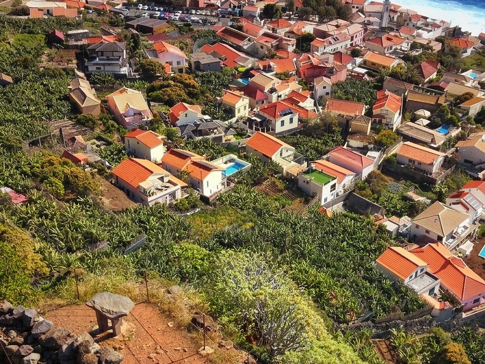
Vereda do Jardim do Mar, Not listed
Vereda do Jardim do Mar is 8.5 km, demanding coastal loop. Not on the IFCN list.
- Distance
- 8.5 km
- Difficulty
- Demanding
- Time
- 3 h 15 min
- Elevation
- 550 m descent and ascent
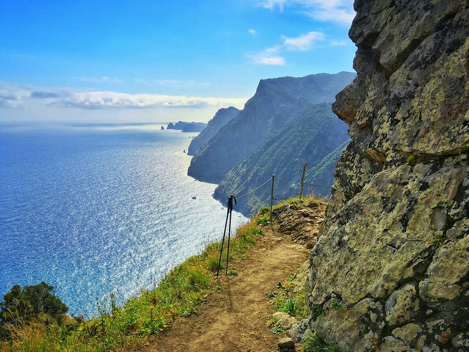
Vereda do Larano, Not listed
Vereda do Larano is 4.6 km, moderate. Not on the IFCN list.
- Distance
- 4.6 km
- Difficulty
- Moderate
- Time
- 3 h 22 min
- Elevation
- 355 m ascent
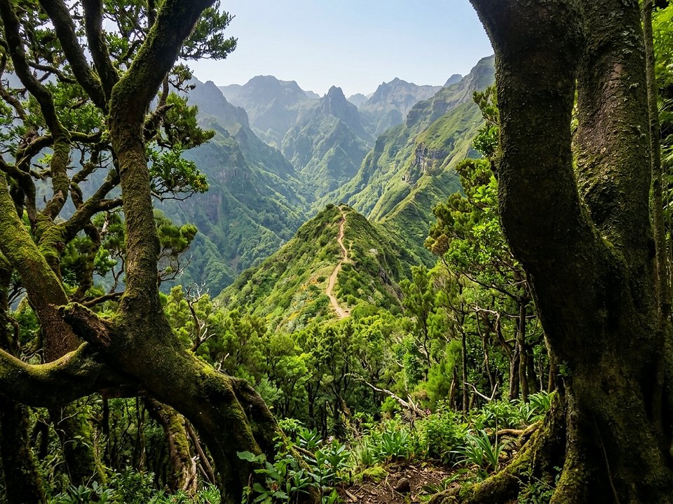
Vereda do Lombo Barbinhas, Not listed
Vereda do Lombo Barbinhas is 6.5 km, moderate. Not on the IFCN list.
- Distance
- 6.5 km
- Difficulty
- Moderate
- Time
- 3 h
- Elevation
- 214 m ascent, 1158 m descent
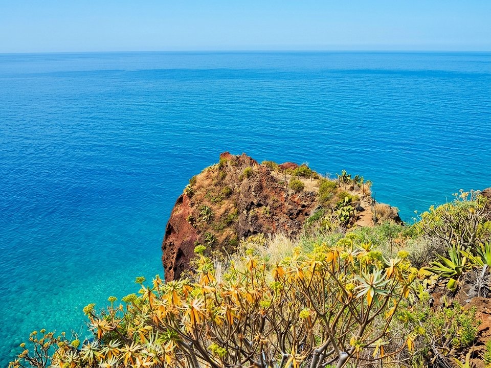
Vereda do Pesqueiro, Not listed
Vereda do Pesqueiro is 2.3 km each way, hard. Not on the IFCN list.
- Distance
- 2.3 km each way
- Difficulty
- Hard
- Time
- 47 min each way
- Elevation
- 485 m ascent
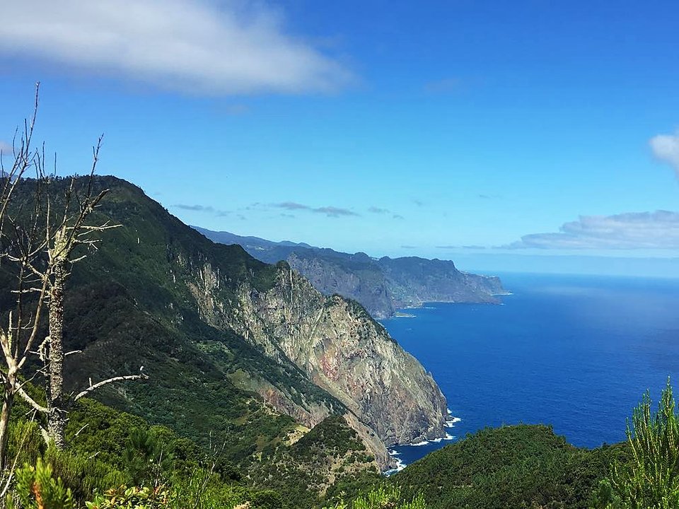
Vereda do Pico Castanho, Not listed
Vereda do Pico Castanho is 4.5 km each way, hard. Not on the IFCN list.
- Distance
- 4.5 km each way
- Difficulty
- Hard
- Time
- 4 h
- Elevation
- 675 m ascent
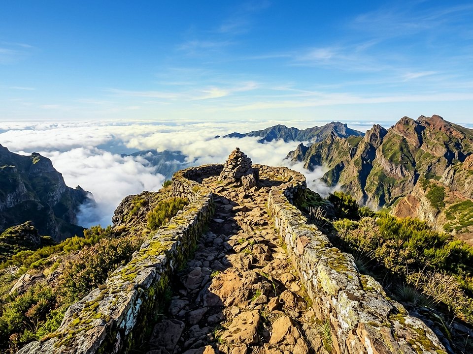
Vereda do Pico Ruivo do Paúl, Not listed
Vereda do Pico Ruivo do Paúl is 0.9 km each way, moderate. Not on the IFCN list.
- Distance
- 0.9 km each way
- Difficulty
- Moderate
- Time
- 25 min each way
- Elevation
- 66 m ascent
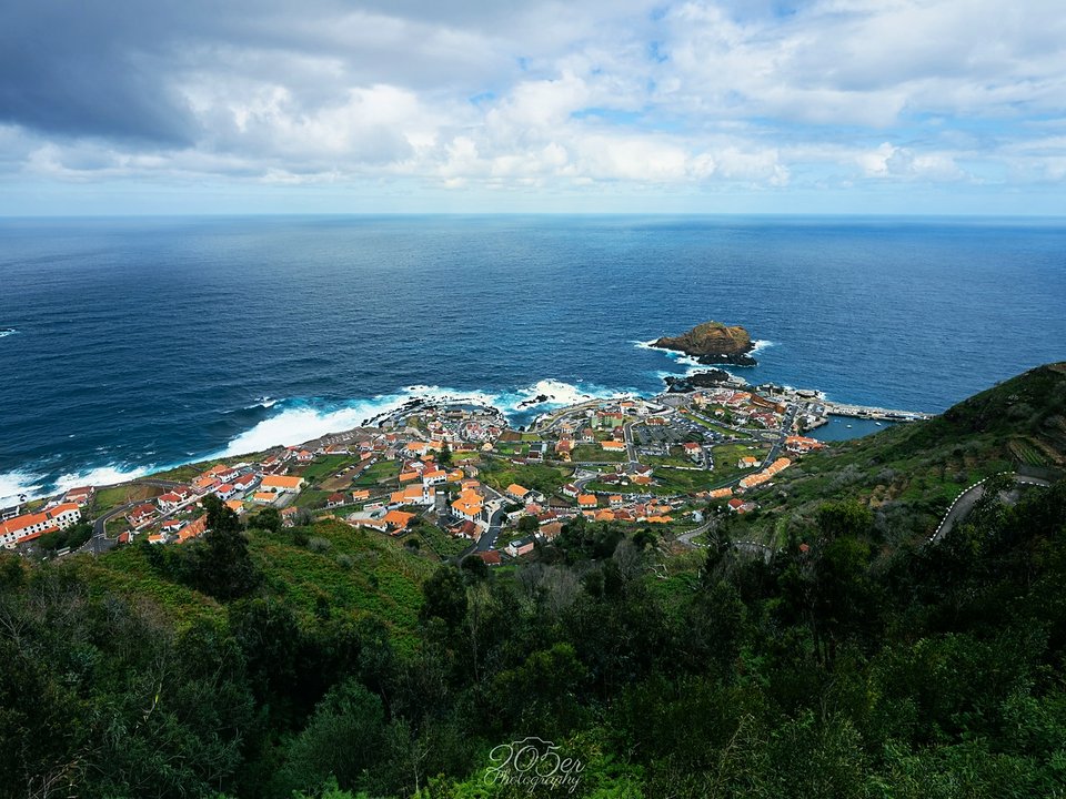
Vereda do Pico, Porto Moniz, Not listed
Vereda do Pico, Porto Moniz is 5.1 km. Not on the IFCN list.
- Distance
- 5.1 km
- Difficulty
- Not printed
- Time
- 2 h 47 min
- Elevation
- 85 m ascent, 534 m descent
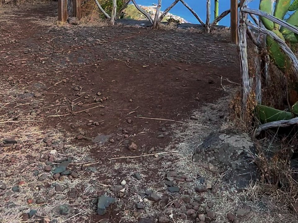
Vereda dos Zimbreiros, Not listed
Vereda dos Zimbreiros is 1.6 km, hard. Not on the IFCN list.
- Distance
- 1.6 km
- Difficulty
- Hard
- Time
- 50 min
- Elevation
- 371 m ascent, 0 m descent
How to read the unclassified walks index
Madeira has two very different layers of walking paths. The first layer consists of the 24 classified PR routes maintained and monitored on the official IFCN table. Those routes carry official PR (Pequena Rota) signage, scheduled maintenance inspections, a published open or closed status table, and the regional non-resident trail fee system. The second layer — collected on this page — covers 128 regional levadas, historical royal paths (Caminhos Reais), coastal footpaths, and municipal forest tracks surveyed across regional municipal paths and levadas but absent from the IFCN recommended list.
Understanding the route statistics
Every figure on an unclassified trail page — distance, estimated walking duration, elevation gain and loss, start and end coordinates, tunnel counts, and irrigation channel parameters (madre intake, fim terminus, and total channel length) — reflects on-site trail walks and on-site channel records rather than the IFCN status table. Where on-site field surveys omit elevation or duration, this site leaves that field explicitly unlisted instead of guessing.
Why status reads “Not listed”
Because these routes are outside the IFCN recommended network, the forestry authority does not publish daily or weekly open/closed notices for them. A badge of Not listed means there is no official IFCN status line — it is neither an endorsement nor a guarantee that a channel wall, tunnel, or hillside ledge is passable on a given morning.
Field preparation and when to choose an official PR route instead
Many unclassified levadas were built strictly as working agricultural maintenance ledges for water tenders (levadeiros). Handrails may be discontinuous or absent, tunnels can be long and completely unlit, and winter rockfalls can block a remote gorge for months without a notice at the road head. Before setting out on any walk listed here, read our comparison of official PR routes and unclassified trails and our levada equipment checklist. If you want a signposted route with verified segment status and car-park day checks, start from the classified Madeira hiking map.