LOCAL · BOAVENTURA · Below Achada do Marques → Chão das Faias
UNKNOWN TRAIL · LEVADA DOS TORNOS, BOAVENTURA · FLAT CANAL · FREE
Levada dos Tornos, Boaventura
LOCAL LEVADA · BOAVENTURA · NOT PRINTED
Also known as: Levada dos Tornos (Lanço Norte)
Below Achada do Marques
Trailhead Access · Free Roadside Parking
Tributary of Ribeira do Porco
Levada Madre Water Intake
Chão das Faias
Waterfall / Channel Terminus
Retrace to Below Achada do Marques
22.0 KM Out & Back
[X]Beyond Madre Unpatrolled Ledge
Unmaintained Gorge · No IFCN Maintenance
OPTIMAL WINDOW: 08:30 - 11:00 FROM BELOW ACHADA DO MARQUES — SHADED LAURISSILVA CANOPY; EXPECT DAMP LEDGES
1 BASALT TUNNEL (LONGEST 200M) — DEDICATED HEADLAMP REQUIRED & WATERPROOF FOOTWEAR
POINT-TO-POINT EXIT AT CHÃO DAS FAIAS: ARRANGE VEHICLE TRANSFER OR PRE-BOOK TRAILHEAD TAXI RETURN
Distance
Not printed
2 h 25 min · 208 m ascent
IFCN Fee
Free
Return to Car
—
Area / Difficulty
Boaventura · Difficult
Status note. 12 October 2026: hard, 208 m ascent, 2 h 25 min. No walk length is printed (full Lanço Norte channel: 22 km). Not an IFCN figure. Updated 12 Oct 2026.
Levada dos Tornos, Boaventura runs for 22 km in Boaventura from Tributary of Ribeira do Porco, Lombo do Urzal (660 m) to Sítio dos Tornos, Monte, Funchal (600 m). Not on the IFCN classified PR list.
Interactive Field Calculators & Logistics Tools (Shuttle, Cost, Microclimate & Offline Card)
Closure & Congestion Mitigation
Twin-Trail & Plan-B Engine
Because parts of Levada dos Tornos, Boaventura are currently restricted or closed under IFCN decree, hike these verified open twin routes with matching terrain DNA, elevation drama, and scenery.
PR 18 Levada do Rei
Lush UNESCO Laurissilva waterworks alternative
PR 10 Levada do Furado
Classic cliff-carved irrigation channel with protected railings
Field Logistics Intelligence
Return-to-Car & Linear Loop Solver
Self-contained vehicle loop: this route safely returns directly to your starting parking bay at Below Achada do Marques (PR1.1 / Vereda da Ilha junction).
Self-Contained Vehicle Return
This trail is an out-and-back or circular loop that terminates at the same parking area where you started (Below Achada do Marques (PR1.1 / Vereda da Ilha junction)). No taxi, public bus transfer, or multi-car shuttle required.
Coordination & Taxi-Split Action
Send this verified return plan to your group via WhatsApp or SMS.
Field Hazard & Body Impact Intelligence
Reality Matrix: Tunnels, Vertigo & Knee Strain
Beyond generic difficulty ratings: quantitative engineering metrics on pitch-black irrigation tunnels, abyss exposure tiers, and knee-joint impact on steep Caminho Real cobblestones.
200 m
Longest underground passage
Hands-free headlamp is required: smartphone flashlights leave only one hand free for wet 45 cm canal ledges and risk dropping phones into the channel.
Tier 2+ · High Exposure
Exposed cliff edges and natural drop-offs along the trail margin.
Not recommended for hikers with severe acrophobia or vertigo sensitivity.
Level 2+ · Strenuous Stone Steps
Steep elevation change and stone steps place continuous strain on knees.
Trekking poles strongly recommended to absorb eccentric downhill shock on rounded stones.
Atlantic Microclimate Intelligence
Live Island Clock & Microclimate Advisor
Simulate your planned departure hour to beat the cloud inversion ceiling, trade-wind fogs, and trailhead parking saturation.
Prime trail window: 08:30 - 11:00
Trailhead Parking
Ample · Laybys empty
Cloud Ceiling Risk
Clear skies · Above cloud sea
Trail Congestion
Very Light · Trail to yourself
Sun & Wind Load
Cool & Crisp · Light windbreaker
Field advisory: Protected forest canopy keeps temperatures cool; expect damp surfaces under laurel trees.
2026 IFCN & SIMplifica Tariff Engine
Permit, Parking & Transfer Cost Estimator
Calculate your exact party outlay under the 2026 SIMplifica regulatory regime, including legal resident and child exemptions, parking caps, and return transit.
Adult Hikers (> 12 years)
Standard permit €0.00
Children (≤ 12 years)
100% Legally Exempt (€0.00)
Madeira / PT Residents
100% Resident Exemption (€0.00)
Forest Police (Corpo de Polícia Florestal) inspect digital tickets at trailheads. Fines of €50–€500 apply for unregistered hikers.
Offline Survival Pocket Card: Levada dos Tornos, Boaventura
Essential route facts and offline navigation notes for remote terrain with zero cellular signal
Start Trailhead GPS
32.8083° N, 16.9139° W
Below Achada do Marques (PR1.1 / Vereda da Ilha junction) · 208 m elevation
GPS: 32.8083, -16.9139
Finish / Terminus GPS
32.8167° N, 16.9733° W
Chão das Faias, upper Levada dos Tornos - Norte · 208 m elevation
GPS: 32.8167, -16.9733
Distance
Not printed
Estimated Time
2 h 25 min
Elevation Profile
208 m ascent
Difficulty Grade
Hard
Emergency SOS & Civil Protection
112 — European Emergency SOS (Universal)
Civil Protection (Proteção Civil): +351 291 700 112
IFCN Forest Police (Polícia Florestal): +351 291 102 700
VHF Marine Ch. 16 / Mountain SAR
Rule:Cardinal Survival Rule: Stay strictly on the levada path. Never descend into stream gorges or waterfalls. If cloud ceiling descends, halt and wait in place.
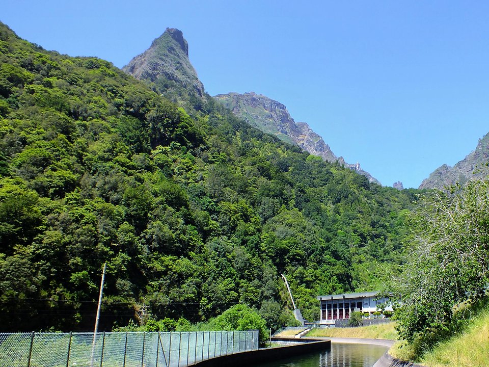
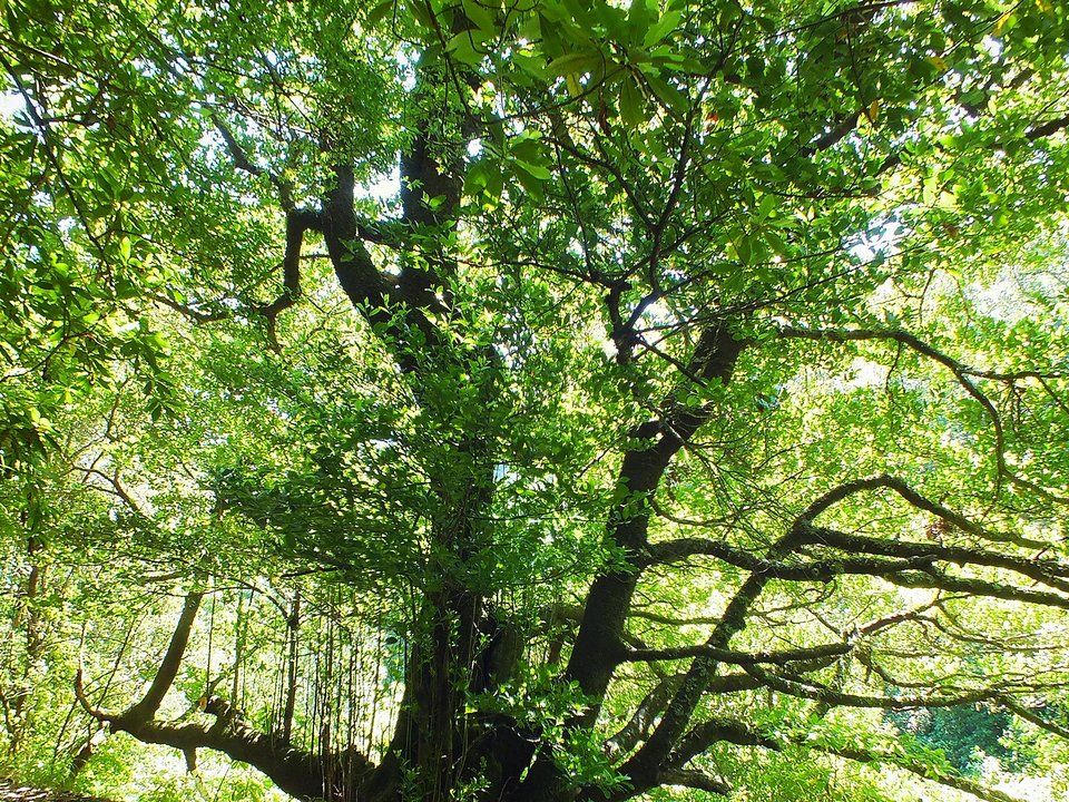
Carved into the hillsides of Boaventura, Levada dos Tornos, Boaventura constitutes an unclassified irrigation conduit extending between Below Achada do Marques (PR1.1 / Vereda da Ilha junction) and Chão das Faias, upper Levada dos Tornos - Norte. The trail meanders through atmospheric valley amphitheaters, crossing natural water drainages and shaded forest pockets of native til and heather. Hiking this alignment requires heightened vigilance, as the corridor is unmanaged by IFCN staff and receives no certified safety checks or hazard signposts.
Route Profile & Terrain Details
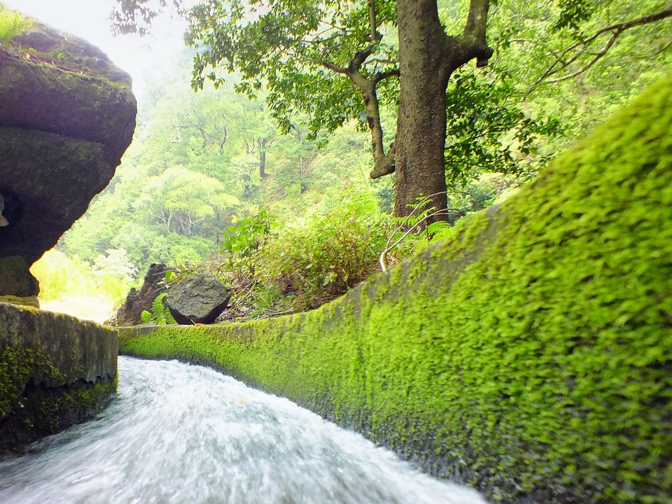
- Surface conditions underfoot: Walking ledges on Levada dos Tornos, Boaventura are formed from fitted stone masonry and concrete channel caps, frequently damp and covered with pine needles.
- Vertical exposure and protection: Certain segments contour sheer basalt cliffs with substantial vertical drop and no continuous cable protection, requiring a steady head.
- Gradients and elevation profile: The channel maintains a mild, steady downward slope along the contour, while connecting paths present sharp elevation gains on basalt steps.
- Water flow and tunnel conditions: Water flows steadily along the channel, with overhanging crags dripping onto the ledge and dark rock-hewn passages requiring a reliable torch.
Trailhead Access, Parking & Return Transfer
- Road approach and connectivity: Motorists access the trailhead for Levada dos Tornos, Boaventura by following the northern ER 101 coastal route, ER 221 along the river basin, and connecting municipal lanes, which wind through regional farming districts.
- Trailhead parking availability: Parking availability relies on small roadside bays along the approach lane; preserve full road clearance for municipal service trucks.
- Public transit connections: Public transit connections are operated by SIGA Madeira (West / Northwest) northern coastal feeder routes, though daily frequencies to remote rural trailheads are limited and demand advance planning.
- Return logistics and transfer options: Returning to the vehicle at Below Achada do Marques (PR1.1 / Vereda da Ilha junction) requires either turning back along the trail or hiring a local taxi transfer from the terminus at Chão das Faias, upper Levada dos Tornos - Norte.
Channel & Waterworks Context
- Water intake (Madre): Tributary of Ribeira do Porco, Lombo do Urzal (660 m)
- Terminus (Fim): Sítio dos Tornos, Monte, Funchal (600 m)
- Total hydraulic channel length: 22 km
- Catalogue record: Levada dos Tornos, Boaventura
- Local aliases: Levada dos Tornos (Lanço Norte)
- Catchment character: Taps perennial volcanic aquifers in the high valley, to terraced coastal and mid-elevation banana and horticulture farms.
Authorized under historic regional water concessions, Levada dos Tornos, Boaventura represents an ingenious gravity-flow channel engineered to divert headwaters across the rugged contours of Boaventura. Master builders engineered curved masonry bends and overflow weirs to handle winter surges, setting fitted basalt slabs along the walking esplanada to permit routine maintenance access. Today, the watercourse continues to nourish hillside terraces of sweet potatoes, vineyards, and fruit orchards, preserving an invaluable hydraulic heritage that sustained Madeira's rural economy for centuries.
Field Safety & Official PR Alternatives
Proceeding along Levada dos Tornos, Boaventura demands heightened awareness, as steep drops and slippery surfaces in Boaventura lack official hazard signage. Ensure every member of your group wears lugged hiking footwear and carries windproof and waterproof outer layers. Pack personal navigation devices, a signaling whistle, a reliable torch, and sufficient provisions for unexpected delays. Never attempt to bypass damaged masonry or landslips along exposed precipices; turn around calmly and exit via the original approach route.
Official classified PR alternatives near Boaventura
For walkers who value verified infrastructure and scheduled forestry maintenance near Boaventura, are advised to select from these classified PR itineraries rather than walking Levada dos Tornos, Boaventura:
- PR 16 Levada Fajã do Rodrigues — 3.9 km each way (7.8 km there and back) between Fajã da Ama and Ribeira do Inferno in neighbouring São Vicente (listed open on the 2 October 2026 IFCN table). Offers a certified walking corridor maintained by regional forestry authorities along with clear directional signposts and distance waymarkers.
- PR 22 Vereda do Chão dos Louros — 1.9 km circular Laurissilva walk at Chão dos Louros (listed open on the 2 October 2026 IFCN table). Serves as an officially monitored levada corridor with certified footing backed by up-to-date condition bulletins from forestry staff.
- PR 1.3 Vereda da Encumeada — 11.2 km table ridge route above Boaventura and Curral das Freiras (listed partly open between Boca das Torrinhas and Encumeada on the 2 October 2026 IFCN table). Represents an inspected PR itinerary featuring dramatic valley viewpoints offering reliable public transit connections and turnaround points.
Regional footpaths and unmonitored channels in Boaventura include Bica da Cana to Pico Ruivo do Paul and Caminho Florestal da Boca das Voltas, preserved on the unknown trails archive without ranger patrols. Regional trail records for Levada dos Tornos, Boaventura: Regional levada records and historic Caminho Real surveys, contrasted with IFCN Percursos pedestres classificados (updated 2 October 2026, read 12 October 2026).
Specifications & facts
- Type
- Levada
- Area
- Boaventura
- Difficulty
- Hard
- Distance
- Not printed
- Time
- 2 h 25 min
- Elevation
- 208 m ascent
- Start
- Below Achada do Marques (PR1.1 / Vereda da Ilha junction)
- Finish
- Chão das Faias, upper Levada dos Tornos - Norte
- Water intake (Madre)
- Tributary of Ribeira do Porco, Lombo do Urzal (660 m)
- Terminus (Fim)
- Sítio dos Tornos, Monte, Funchal (600 m)
- Channel length
- 22 km
- Also known as
- Levada dos Tornos (Lanço Norte)
Post-Hike Refuel & Dining Radar
Authentic Post-Hike Hospitality
Trailhead & Village Refuel Radar
Nothing defines Madeiran hiking culture more authentically than gathering at a rustic mountain bar or fisherman's tasca right after the trek. Verified local venues within minutes of the finish:
Tasca da Serra
Field photographs along the channel