Local · Levada
PORTO MONIZ · CÓRREGOS DE ÁGUA / RIBEIRA DO VIMEIRO (838 M) → LEVADA DA ROCHA VERMELHA / RIBEIRA DA ÁGUA NEGRA (834 M)
Local · LEVADA DAS FEITAS (LEVADA DO SEIXAL) · 3.3 km (channel length) · Not printed · Free
Levada das Feitas (Levada do Seixal)
NOT PRINTED · PORTO MONIZ · 4 M DROP (838 M TO 834 M)
Also known as: Levada das Feitas
Distance
3.3 km (channel length)
Not printed · 4 m drop (838 m to 834 m)
IFCN Fee
Free
Return to Car
—
Area / Difficulty
Porto Moniz · Not printed
Status note. Not on the IFCN classified PR list. Channel length, intake (Madre), and terminus (Fim) come from regional field survey records; IFCN publishes no open or closed status for this channel. Updated 12 Oct 2026.
Córregos de Água / Ribeira do Vimeiro (838 m)
Start · Porto Moniz
3.3 km (channel length) Channel
Not printed · 4 m drop (838 m to 834 m)
Levada da Rocha Vermelha / Ribeira da Água Negra (834 m)
Turnaround / Finish · Unpatrolled Local Path · No IFCN Maintenance
START BEFORE 08:30 AM AT CÓRREGOS DE ÁGUA / RIBEIRA DO VIMEIRO (838 M) FOR CLEAREST VISIBILITY & EASIEST PARKING
POINT-TO-POINT ROUTE (CÓRREGOS DE ÁGUA / RIBEIRA DO VIMEIRO (838 M) → LEVADA DA ROCHA VERMELHA / RIBEIRA DA ÁGUA NEGRA (834 M)) — PLAN RETURN TAXI OR TURN AROUND AT MIDPOINT
NO IFCN PERMIT FEE REQUIRED ON THIS ROUTE — CHECK LIVE WEATHER & ROCKFALL ALERTS BEFORE DEPARTURE
Levada do Seixal is an unclassified 3.3 km levada channel in Porto Moniz running from Córregos de Água / Ribeira do Vimeiro (838 m) to Levada da Rocha Vermelha / Ribeira da Água Negra (834 m). Not on the IFCN recommended PR list.
Interactive Field Calculators & Logistics Tools (Shuttle, Cost, Microclimate & Offline Card)
Closure & Congestion Mitigation
Twin-Trail & Plan-B Engine
Because parts of Levada das Feitas (Levada do Seixal) are currently restricted or closed under IFCN decree, hike these verified open twin routes with matching terrain DNA, elevation drama, and scenery.
PR 18 Levada do Rei
Lush UNESCO Laurissilva waterworks alternative
PR 10 Levada do Furado
Classic cliff-carved irrigation channel with protected railings
Field Logistics Intelligence
Return-to-Car & Linear Loop Solver
Point-to-point routes end away from your vehicle. Review verified 2026 public bus lines, taxi fares, midpoint key swaps, or connecting footpaths to return to Córregos de Água / Ribeira do Vimeiro (838 m).
Line: SIGA Regional Service
SIGA Madeira (West / Northwest) regional network
Coordination & Taxi-Split Action
Send this verified return plan to your group via WhatsApp or SMS.
Field Hazard & Body Impact Intelligence
Reality Matrix: Tunnels, Vertigo & Knee Strain
Beyond generic difficulty ratings: quantitative engineering metrics on pitch-black irrigation tunnels, abyss exposure tiers, and knee-joint impact on steep Caminho Real cobblestones.
200 m
Longest underground passage
Hands-free headlamp is required: smartphone flashlights leave only one hand free for wet 45 cm canal ledges and risk dropping phones into the channel.
Tier 2+ · High Exposure
Exposed cliff edges and natural drop-offs along the trail margin.
Not recommended for hikers with severe acrophobia or vertigo sensitivity.
Level 2 · Moderate Steps
Manageable gradient with moderate joint impact.
Trekking poles strongly recommended to absorb eccentric downhill shock on rounded stones.
Atlantic Microclimate Intelligence
Live Island Clock & Microclimate Advisor
Simulate your planned departure hour to beat the cloud inversion ceiling, trade-wind fogs, and trailhead parking saturation.
Prime trail window: 08:30 - 11:00
Trailhead Parking
Ample · Laybys empty
Cloud Ceiling Risk
Clear skies · Above cloud sea
Trail Congestion
Very Light · Trail to yourself
Sun & Wind Load
Cool & Crisp · Light windbreaker
Field advisory: Protected forest canopy keeps temperatures cool; expect damp surfaces under laurel trees.
2026 IFCN & SIMplifica Tariff Engine
Permit, Parking & Transfer Cost Estimator
Calculate your exact party outlay under the 2026 SIMplifica regulatory regime, including legal resident and child exemptions, parking caps, and return transit.
Adult Hikers (> 12 years)
Standard permit €0.00
Children (≤ 12 years)
100% Legally Exempt (€0.00)
Madeira / PT Residents
100% Resident Exemption (€0.00)
Forest Police (Corpo de Polícia Florestal) inspect digital tickets at trailheads. Fines of €50–€500 apply for unregistered hikers.
Offline Survival Pocket Card: Levada das Feitas (Levada do Seixal)
Essential route facts and offline navigation notes for remote terrain with zero cellular signal
Start Trailhead GPS
32.8675° N, 17.1689° W
Córregos de Água / Ribeira do Vimeiro (838 m) · 838 m elevation
GPS: 32.8675, -17.1689
Finish / Terminus GPS
32.8735° N, 17.1629° W
Levada da Rocha Vermelha / Ribeira da Água Negra (834 m) · 834 m elevation
GPS: 32.8735, -17.1629
Distance
3.3 km (channel length)
Estimated Time
Not printed
Elevation Profile
4 m drop (838 m to 834 m)
Difficulty Grade
Not printed
Emergency SOS & Civil Protection
112 — European Emergency SOS (Universal)
Civil Protection (Proteção Civil): +351 291 700 112
IFCN Forest Police (Polícia Florestal): +351 291 102 700
VHF Marine Ch. 16 / Mountain SAR
Rule:Cardinal Survival Rule: Stay strictly on the levada path. Never descend into stream gorges or waterfalls. If cloud ceiling descends, halt and wait in place.
Tracing a historical corridor across Porto Moniz, Levada das Feitas (Levada do Seixal) functions as a rustic agricultural watercourse between Córregos de Água / Ribeira do Vimeiro (838 m) and Levada da Rocha Vermelha / Ribeira da Água Negra (834 m). The trail meanders through atmospheric valley amphitheaters, crossing natural water drainages and shaded forest pockets of native til and heather. Because it does not form part of the classified PR network, no municipal authority maintains bridge integrity or clears washouts along this remote path.
Route Profile & Terrain Details
- Surface conditions underfoot: Surfaces along Levada das Feitas (Levada do Seixal) feature narrow stone inspection ledges, packed clay berms, and irregular volcanic paving stones beside the watercourse.
- Vertical exposure and protection: Certain segments contour sheer basalt cliffs with substantial vertical drop and no continuous cable protection, requiring a steady head.
- Gradients and elevation profile: Gradients along the watercourse are virtually level, with elevation gain concentrated almost entirely on the initial access ascents.
- Water flow and tunnel conditions: Active water transport in the conduit creates damp footing, and seasonal cascade spray frequently drenches the unlit tunnel sections.
Trailhead Access, Parking & Return Transfer
- Road approach and connectivity: Motorists access the trailhead for Levada das Feitas (Levada do Seixal) by following the VE 2 coastal connector, ER 101 cliffway, ER 209 via Fanal, and ER 221 into Chão da Ribeira, which wind through regional farming districts.
- Trailhead parking availability: Hikers must rely on informal village laybys or church square parking, walking the remaining distance along the access road to reach the start.
- Public transit connections: Regional transit via SIGA Madeira (West / Northwest) northwestern lines serving Funchal, São Vicente, and Porto Moniz reaches the main parish, though reaching the upper trail coordinate may necessitate a local taxi.
- Return logistics and transfer options: One-way walkers should organize their transfer from Levada da Rocha Vermelha / Ribeira da Água Negra (834 m) prior to setting out, while drivers typically turn around at a natural midpoint.
Channel & Waterworks Context
- Water intake (Madre): Córregos de Água / Ribeira do Vimeiro (838 m)
- Terminus (Fim): Levada da Rocha Vermelha / Ribeira da Água Negra (834 m)
- Total hydraulic channel length: 3.3 km
- Catalogue record: Levada das Feitas (Levada do Seixal)
- Local aliases: Levada das Feitas
- Catchment character: Conveys fresh spring water through dramatic ravine contours, channeling water along the volcanic contour to parish settlements.
Carved into the sheer volcanic cliffs of Porto Moniz, Levada das Feitas (Levada do Seixal) was established to gather water from inaccessible river headwaters and distribute it to downhill settlements. Generations of stonecutters shaped the channel walls from native volcanic rock, building elevated masonry pillars across ravines to ensure that water flowed smoothly across fractured terrain. Preserving this historic waterway maintains a vital link between upland springs and coastal agriculture, providing walkers with a direct glimpse into Madeira's time-honored communal water distribution culture.
Field Safety & Official PR Alternatives
A journey along Levada das Feitas (Levada do Seixal) presents rustic, unpatrolled trail conditions that demand heightened vigilance throughout Porto Moniz. Ensure every member of your group wears lugged hiking footwear and carries windproof and waterproof outer layers. Pack personal navigation devices, a signaling whistle, a reliable torch, and sufficient provisions for unexpected delays. Should heavy mist reduce navigation visibility or trail footing become dangerously slick, abort the hike and retreat along your inward path.
Official classified PR alternatives near Porto Moniz
Walkers seeking reliable footing, signposted junctions, and dated condition updates across Porto Moniz are advised to select from these classified PR itineraries rather than walking Levada das Feitas (Levada do Seixal):
- PR 13 Vereda do Fanal — 10.8 km between Assobiadores on Paul da Serra and Fanal above Porto Moniz (listed open on the 2 October 2026 IFCN table). Provides a maintained forest route starting near paved access roads along with clear directional signposts and distance waymarkers.
- PR 14 Levada dos Cedros — 7.2 km between Fanal and Curral Falso above Ribeira da Janela (listed open on the 2 October 2026 IFCN table). Features an officially surveyed walking route with regular ranger monitoring backed by up-to-date condition bulletins from forestry staff.
- PR 15 Vereda da Ribeira da Janela — 2.7 km descending from Curral Falso to Ribeira da Janela in Porto Moniz (listed open on the 2 October 2026 IFCN table). Features well-maintained stone staircases and inspected protective cables offering reliable public transit connections and turnaround points.
Additional unmanaged trails documented within Porto Moniz comprise Pequena Rota do Fanal and Poço do Candeeiro, listed in the unknown trails index without official PR status. Regional trail records for Levada das Feitas (Levada do Seixal): Regional levada records and historic Caminho Real surveys, contrasted with IFCN Percursos pedestres classificados (updated 2 October 2026, read 12 October 2026).
Specifications & facts
- Type
- Levada
- Area
- Porto Moniz
- Difficulty
- Not printed
- Distance
- 3.3 km (channel length)
- Time
- Not printed
- Elevation
- 4 m drop (838 m to 834 m)
- Start
- Córregos de Água / Ribeira do Vimeiro (838 m)
- Finish
- Levada da Rocha Vermelha / Ribeira da Água Negra (834 m)
- Water intake (Madre)
- Córregos de Água / Ribeira do Vimeiro (838 m)
- Terminus (Fim)
- Levada da Rocha Vermelha / Ribeira da Água Negra (834 m)
- Channel length
- 3.3 km
- Also known as
- Levada das Feitas
Post-Hike Refuel & Dining Radar
Authentic Post-Hike Hospitality
Trailhead & Village Refuel Radar
Nothing defines Madeiran hiking culture more authentically than gathering at a rustic mountain bar or fisherman's tasca right after the trek. Verified local venues within minutes of the finish:
Restaurante Cachalote
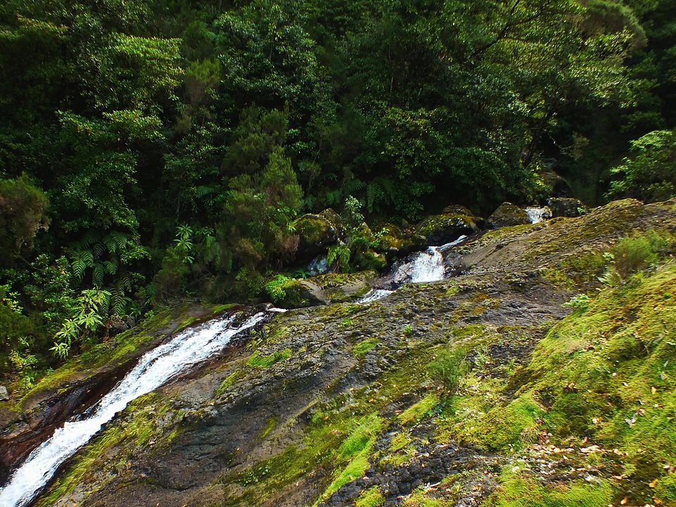
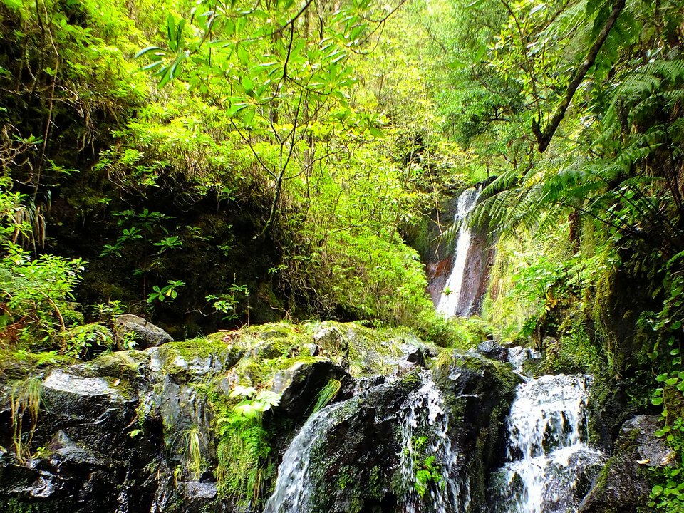
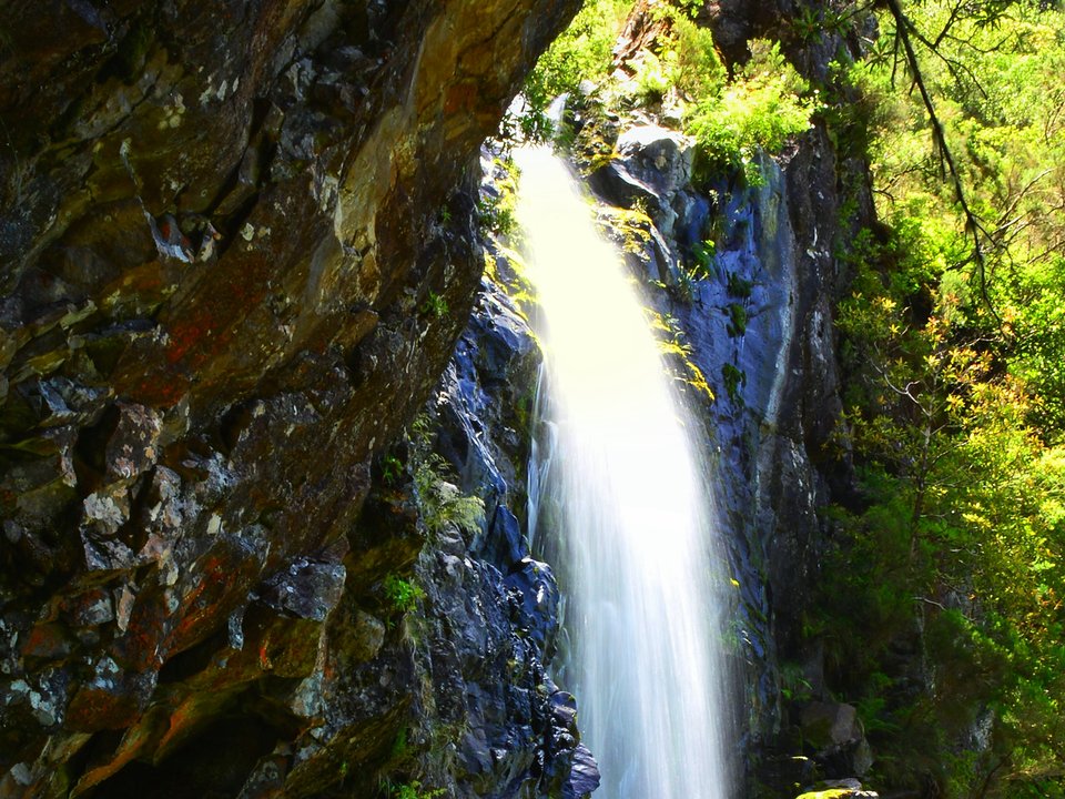
Field photographs along the channel