UNCLASSIFIED · CALHETA · CHANNEL: PONTA DO PARGO ──► LOOP BACK TO PONTA DO PARGO
UNKNOWN TRAIL · LEVADA NOVA DA CALHETA, PONTA DO PARGO · FLAT CANAL · FREE
Levada Nova da Calheta, Ponta do Pargo
UNCLASSIFIED LEVADA · CALHETA · 9.5 KM LOOP
Ponta do Pargo (loop start)
km 0.0 · Free Roadside · €0 Fee
Calheta Channel Ledge
9.5 KM · Unlit Ledge / Tunnel
Loop back to Ponta do Pargo
Madre / Turnaround Point
Retrace to Ponta do Pargo (loop start)
9.5 KM Out & Back
[X]Upper Gorge / Beyond Madre Ledge
Unpatrolled Local Path · No IFCN Maintenance
NOT ON IFCN TABLE — ZERO OFFICIAL MAINTENANCE OR RESCUE PATROL
DISCONTINUOUS HANDRAILS ON EXPOSED LEVADA WALL (VERTIGO 3/3)
UNLIT WATER TUNNELS ALONG CHANNEL — BRING BACKUP HEADLAMP & OFFLINE GPX
Distance
9.5 km loop
3 h 15 min · 320 m ascent
IFCN Fee
Free
Return to Car
—
Area / Difficulty
Calheta · Moderate
Status note. 12 October 2026: 9.5 km loop, moderate, 3 h 15 min. Not an IFCN figure. IFCN does not maintain this walk. Updated 12 Oct 2026.
Levada Nova da Calheta, Ponta do Pargo is 9.5 km loop, moderate. Not on the IFCN list.
Interactive Field Calculators & Logistics Tools (Shuttle, Cost, Microclimate & Offline Card)
Closure & Congestion Mitigation
Twin-Trail & Plan-B Engine
Because parts of Levada Nova da Calheta, Ponta do Pargo are currently restricted or closed under IFCN decree, hike these verified open twin routes with matching terrain DNA, elevation drama, and scenery.
PR 18 Levada do Rei
Lush UNESCO Laurissilva waterworks alternative
PR 10 Levada do Furado
Classic cliff-carved irrigation channel with protected railings
Field Logistics Intelligence
Return-to-Car & Linear Loop Solver
Self-contained vehicle loop: this route safely returns directly to your starting parking bay at Ponta do Pargo (loop start).
Self-Contained Vehicle Return
This trail is an out-and-back or circular loop that terminates at the same parking area where you started (Ponta do Pargo (loop start)). No taxi, public bus transfer, or multi-car shuttle required.
Coordination & Taxi-Split Action
Send this verified return plan to your group via WhatsApp or SMS.
Field Hazard & Body Impact Intelligence
Reality Matrix: Tunnels, Vertigo & Knee Strain
Beyond generic difficulty ratings: quantitative engineering metrics on pitch-black irrigation tunnels, abyss exposure tiers, and knee-joint impact on steep Caminho Real cobblestones.
0 m
Open air route
Tunnel-free routing with natural daylight throughout.
Tier 2+ · High Exposure
Exposed cliff edges and natural drop-offs along the trail margin.
Not recommended for hikers with severe acrophobia or vertigo sensitivity.
Level 2 · Moderate Steps
Manageable gradient with moderate joint impact.
Trekking poles strongly recommended to absorb eccentric downhill shock on rounded stones.
Atlantic Microclimate Intelligence
Live Island Clock & Microclimate Advisor
Simulate your planned departure hour to beat the cloud inversion ceiling, trade-wind fogs, and trailhead parking saturation.
Prime trail window: 08:00 - 10:30
Trailhead Parking
Ample · Laybys empty
Cloud Ceiling Risk
Clear skies · Above cloud sea
Trail Congestion
Very Light · Trail to yourself
Sun & Wind Load
Cool & Crisp · Light windbreaker
Field advisory: Coastal maritime microclimate; protect against morning sun and changing sea breezes.
2026 IFCN & SIMplifica Tariff Engine
Permit, Parking & Transfer Cost Estimator
Calculate your exact party outlay under the 2026 SIMplifica regulatory regime, including legal resident and child exemptions, parking caps, and return transit.
Adult Hikers (> 12 years)
Standard permit €0.00
Children (≤ 12 years)
100% Legally Exempt (€0.00)
Madeira / PT Residents
100% Resident Exemption (€0.00)
Forest Police (Corpo de Polícia Florestal) inspect digital tickets at trailheads. Fines of €50–€500 apply for unregistered hikers.
Offline Survival Pocket Card: Levada Nova da Calheta, Ponta do Pargo
Essential route facts and offline navigation notes for remote terrain with zero cellular signal
Start Trailhead GPS
32.8106° N, 17.2561° W
Ponta do Pargo (loop start) · 320 m elevation
GPS: 32.8106, -17.2561
Finish / Terminus GPS
32.8166° N, 17.2501° W
Loop back to Ponta do Pargo · 320 m elevation
GPS: 32.8166, -17.2501
Distance
9.5 km loop
Estimated Time
3 h 15 min
Elevation Profile
320 m ascent
Difficulty Grade
Moderate
Emergency SOS & Civil Protection
112 — European Emergency SOS (Universal)
Civil Protection (Proteção Civil): +351 291 700 112
IFCN Forest Police (Polícia Florestal): +351 291 102 700
VHF Marine Ch. 16 / Mountain SAR
Rule:Cardinal Survival Rule: Stay strictly on the levada path. Never descend into stream gorges or waterfalls. If cloud ceiling descends, halt and wait in place.
Recorded across regional trail registers as a rustic stone-paved footpath, Levada Nova da Calheta, Ponta do Pargo bridges Ponta do Pargo (loop start) and Loop back to Ponta do Pargo within the territory of Calheta. Showcasing the rugged interior of the island, the passage overlooks deeply incised river gorges, ancient agricultural terraces, and towering basalt spires. Visitors should note that this track is unpatrolled by the regional forestry institute (IFCN), meaning that fallen boulders, degraded masonry, and vegetation encroaching on the tread are not formally addressed.
Route Profile & Terrain Details
- Surface conditions underfoot: The walking surface across Levada Nova da Calheta, Ponta do Pargo alternates between pitched stone pavement, packed dirt paths, and rough basalt outcrops.
- Vertical exposure and protection: The trail negotiates steep mountain shoulders with open valley views, where rockfall or balance loss could lead to hazardous slides.
- Gradients and elevation profile: Elevation gain is sustained and pronounced, tracking historic trade paths up steep valley walls on pitched basalt paving.
- Hydrological conditions and weather exposure: Weather conditions shift swiftly between bright sunshine and dense mountain drizzle, with unbridged runoff channels wetting the trail.
Trailhead Access, Parking & Return Transfer
- Road approach and connectivity: The road journey to Levada Nova da Calheta, Ponta do Pargo follows the VE 3 expressway, ER 101 western scenic route, and ER 210 / ER 222 across Prazeres and Fajã da Ovelha, leading into the upper mountain hollows of Calheta.
- Trailhead parking availability: Space at the trailhead is limited to narrow roadside gravel shoulders; ensure tires remain fully off the tarmac to keep rural bus routes clear.
- Public transit connections: Hikers using public transport can utilize SIGA Madeira (West / Northwest) western routes connecting Funchal with Ponta do Pargo, though return departures during weekends and late afternoons are infrequent.
- Return logistics and transfer options: Unless retracing steps back to Ponta do Pargo (loop start), completing the full one-way traverse requires coordinating a transfer from Loop back to Ponta do Pargo.
Historic Landscape & Heritage Context
Traced along ancestral mountain lines, Levada Nova da Calheta, Ponta do Pargo served as an essential trade and transhumance path connecting coastal farming plots with upland grazing zones in Calheta. The route required skilled manual masonry, with local builders hewing stepped ramps into volcanic bedrock and assembling drystone revetments that secured steep slopes against erosion. The survival of this traditional walkway preserves a tangible piece of Madeira's social history, celebrating the pedestrian culture that united isolated mountain communities.
Field Safety & Official PR Alternatives
Because Levada Nova da Calheta, Ponta do Pargo is not part of the inspected IFCN trail network in Calheta, hikers must accept full personal responsibility for their safety. Footwear with deep rubber lugs is mandatory to avoid slipping on damp masonry and moss-covered stones. Carry adequate water, sun protection, a warm mid-layer, offline digital maps, and an emergency light source. Keep in mind that emergency rescue access is difficult in remote ravines; retreat immediately if footing deteriorates or fog sets in.
Official classified PR alternatives near Calheta
If you require officially monitored routes with scheduled ranger oversight around Calheta, should prioritize these officially inspected PR alternatives over Levada Nova da Calheta, Ponta do Pargo:
- PR 6 Levada das 25 Fontes — 4.3 km each way (8.6 km there and back) from Rabaçal to Lagoa das 25 Fontes (listed open on the 2 October 2026 IFCN table with one-way traffic on the levada and return via the bypass). Delivers a documented mountain watercourse walk with dated status verification and established parking facilities near the main road network.
- PR 6.1 Levada do Risco — 3 km each way (6 km there and back) from Rabaçal to the Cascata do Risco balcony (listed open on the 2 October 2026 IFCN table). Offers a verified trail alignment with scheduled forestry maintenance and documented elevation figures suitable for all experience levels.
- PR 19 Caminho Real do Paul do Mar — 1.8 km coastal cliff footpath between Prazeres and Paul do Mar in Calheta (listed open on the 2 October 2026 IFCN table). Delivers certified trail infrastructure with regular vegetation clearing and verified handrail infrastructure along all exposed sections.
Other uncatalogued alignments in the surrounding Calheta watershed include Levada da Serra da Ponta do Pargo and Levada do Paul, catalogued on the unknown trails page outside official forestry oversight. Survey source for Levada Nova da Calheta, Ponta do Pargo: Madeira public works ledgers and forestry archives, contrasted with IFCN Percursos pedestres classificados (updated 2 October 2026, read 12 October 2026).
Specifications & facts
- Type
- Levada
- Area
- Calheta
- Difficulty
- Moderate
- Distance
- 9.5 km loop
- Time
- 3 h 15 min
- Elevation
- 320 m ascent
- Start
- Ponta do Pargo (loop start)
- Finish
- Loop back to Ponta do Pargo
Post-Hike Refuel & Dining Radar
Authentic Post-Hike Hospitality
Trailhead & Village Refuel Radar
Nothing defines Madeiran hiking culture more authentically than gathering at a rustic mountain bar or fisherman's tasca right after the trek. Verified local venues within minutes of the finish:
Bar O Farol
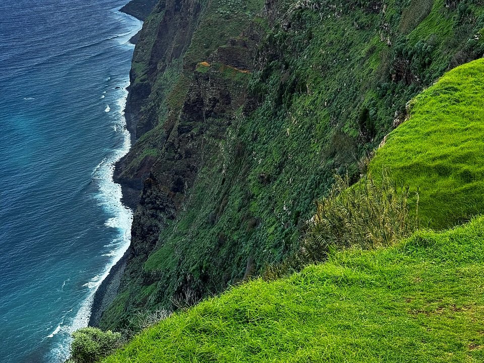
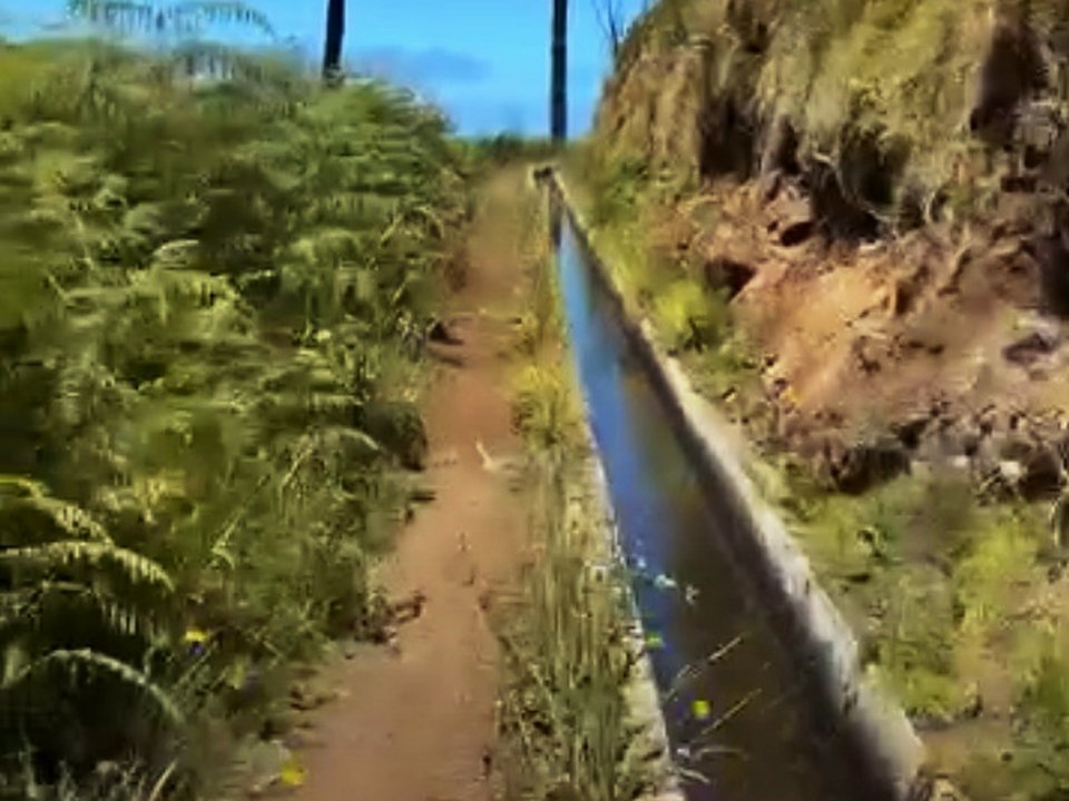
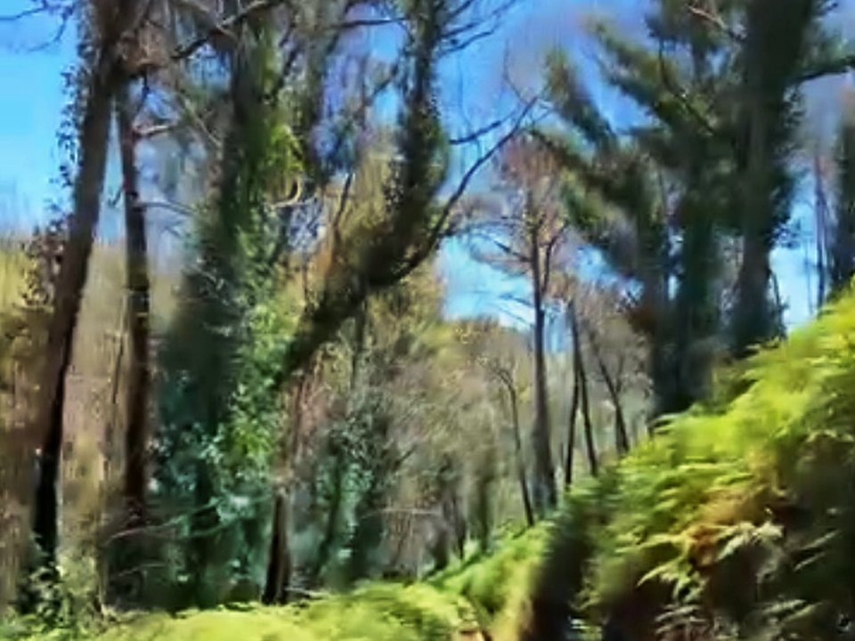
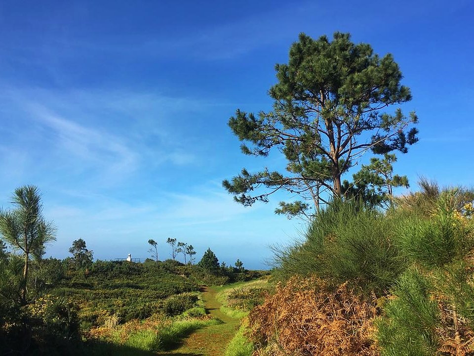
Field photographs along the channel