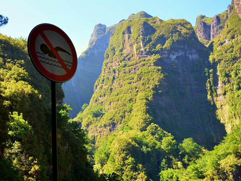
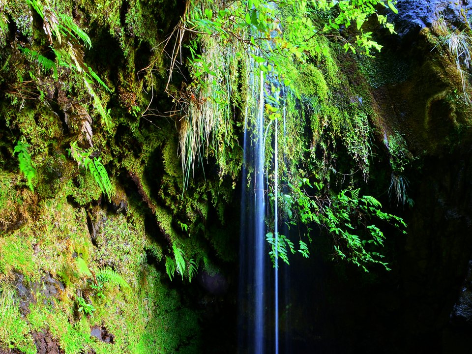
NORTH GORGE · SANTANA · PATH: QUEIMADAS ──► VERDE ──► INFERNO
UNKNOWN TRAIL · LEVADA DO CALDEIRÃO DO INFERNO · FLAT CANAL · FREE
Levada do Caldeirão do Inferno
UNCLASSIFIED LEVADA · SANTANA · 1.1 KM (CHANNEL LENGTH)
Also known as: Levada da Serra de São Jorge (Troço Inicial)
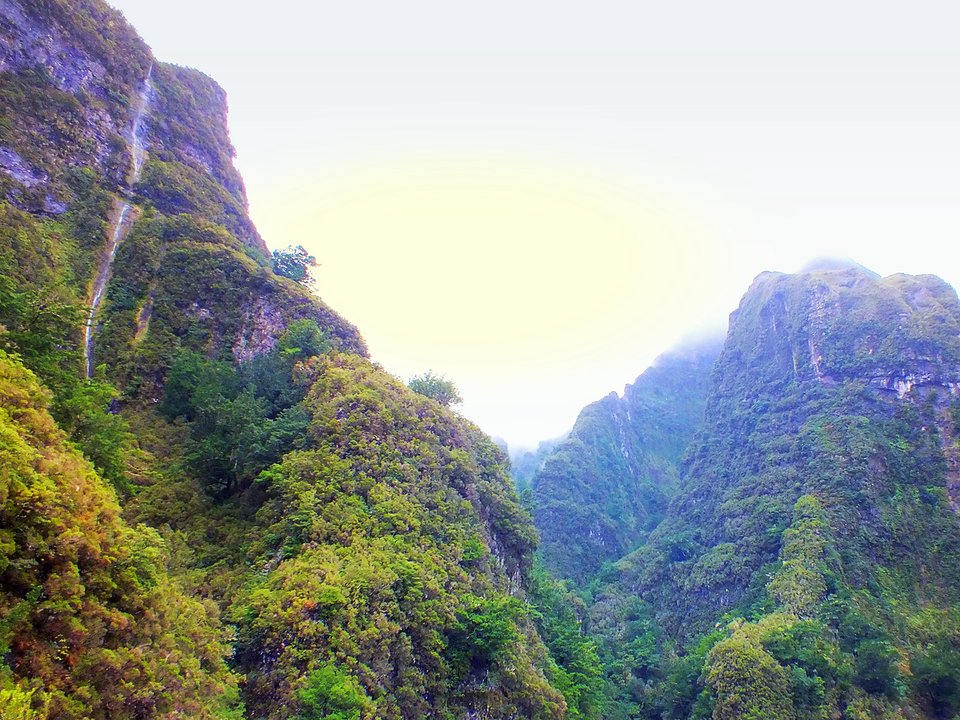
Caldeirão do Inferno, Ribeira Grande (1050 m)
km 0.0 · Free Roadside · €0 Fee
Santana Channel Ledge
1.1 KM · Unlit Ledge / Tunnel
Levada do Pico Ruivo intake (1030 m)
Madre / Turnaround Point
Retrace to Caldeirão do Inferno, Ribeira Grande (1050 m)
1.1 KM Out & Back
[X]Upper Gorge / Beyond Madre Ledge
Unpatrolled Local Path · No IFCN Maintenance
NOT ON IFCN TABLE — ZERO OFFICIAL MAINTENANCE OR RESCUE PATROL
DISCONTINUOUS HANDRAILS ON EXPOSED LEVADA WALL (VERTIGO 3/3)
UNLIT WATER TUNNELS ALONG CHANNEL — BRING BACKUP HEADLAMP & OFFLINE GPX
Distance
1.1 km (channel length)
Not printed · 20 m drop (1050 m to 1030 m)
IFCN Fee
Free
Return to Car
—
Area / Difficulty
Santana · Not printed
Status note. Not on the IFCN classified PR list. Channel length, intake (Madre), and terminus (Fim) come from regional field survey records; IFCN publishes no open or closed status for this channel. Updated 12 Oct 2026.
Levada do Caldeirão do Inferno is an unclassified 1.1 km levada channel in Santana running from Caldeirão do Inferno, Ribeira Grande (1050 m) to Levada do Pico Ruivo intake (1030 m). Not on the IFCN recommended PR list.
Interactive Field Calculators & Logistics Tools (Shuttle, Cost, Microclimate & Offline Card)
Closure & Congestion Mitigation
Twin-Trail & Plan-B Engine
Because parts of Levada do Caldeirão do Inferno are currently restricted or closed under IFCN decree, hike these verified open twin routes with matching terrain DNA, elevation drama, and scenery.
PR 1.2 Vereda do Pico Ruivo
Reliable alpine crest alternative with verified open status
Pico Grande
Rugged volcanic summit alternative in the central massif
Field Logistics Intelligence
Return-to-Car & Linear Loop Solver
Point-to-point routes end away from your vehicle. Review verified 2026 public bus lines, taxi fares, midpoint key swaps, or connecting footpaths to return to Caldeirão do Inferno, Ribeira Grande (1050 m).
Line: SIGA Regional Service
CAM (SIGA) eastern/northern routes
Coordination & Taxi-Split Action
Send this verified return plan to your group via WhatsApp or SMS.
Field Hazard & Body Impact Intelligence
Reality Matrix: Tunnels, Vertigo & Knee Strain
Beyond generic difficulty ratings: quantitative engineering metrics on pitch-black irrigation tunnels, abyss exposure tiers, and knee-joint impact on steep Caminho Real cobblestones.
200 m
Longest underground passage
Hands-free headlamp is required: smartphone flashlights leave only one hand free for wet 45 cm canal ledges and risk dropping phones into the channel.
Tier 2+ · High Exposure
Exposed cliff edges and natural drop-offs along the trail margin.
Not recommended for hikers with severe acrophobia or vertigo sensitivity.
Level 2 · Moderate Steps
Manageable gradient with moderate joint impact.
Flat levada bed protects knees and hip joints from cumulative descent trauma.
Atlantic Microclimate Intelligence
Live Island Clock & Microclimate Advisor
Simulate your planned departure hour to beat the cloud inversion ceiling, trade-wind fogs, and trailhead parking saturation.
Prime trail window: 06:30 - 08:30
Trailhead Parking
Ample · Laybys empty
Cloud Ceiling Risk
Clear skies · Above cloud sea
Trail Congestion
Very Light · Trail to yourself
Sun & Wind Load
Cool & Crisp · Light windbreaker
Field advisory: Early departure strongly advised to beat cloud ceiling condensation and trade wind turbulence.
2026 IFCN & SIMplifica Tariff Engine
Permit, Parking & Transfer Cost Estimator
Calculate your exact party outlay under the 2026 SIMplifica regulatory regime, including legal resident and child exemptions, parking caps, and return transit.
Adult Hikers (> 12 years)
Standard permit €0.00
Children (≤ 12 years)
100% Legally Exempt (€0.00)
Madeira / PT Residents
100% Resident Exemption (€0.00)
Forest Police (Corpo de Polícia Florestal) inspect digital tickets at trailheads. Fines of €50–€500 apply for unregistered hikers.
Offline Survival Pocket Card: Levada do Caldeirão do Inferno
Essential route facts and offline navigation notes for remote terrain with zero cellular signal
Start Trailhead GPS
32.7744° N, 16.9533° W
Caldeirão do Inferno, Ribeira Grande (1050 m) · 1050 m elevation
GPS: 32.7744, -16.9533
Finish / Terminus GPS
32.7606° N, 16.9427° W
Levada do Pico Ruivo intake (1030 m) · 1030 m elevation
GPS: 32.7606, -16.9427
Distance
1.1 km (channel length)
Estimated Time
Not printed
Elevation Profile
20 m drop (1050 m to 1030 m)
Difficulty Grade
Not printed
Emergency SOS & Civil Protection
112 — European Emergency SOS (Universal)
Civil Protection (Proteção Civil): +351 291 700 112
IFCN Forest Police (Polícia Florestal): +351 291 102 700
VHF Marine Ch. 16 / Mountain SAR
Rule:Cardinal Survival Rule: Stay strictly on the levada path. Never descend into stream gorges or waterfalls. If cloud ceiling descends, halt and wait in place.
Surveyed in regional municipal records as a traditional gravity-fed water channel, Levada do Caldeirão do Inferno charts an unpatrolled course in Santana running between Caldeirão do Inferno, Ribeira Grande (1050 m) and Levada do Pico Ruivo intake (1030 m). The route showcases remarkable rural stonework, navigating dense forest cover, open cliffside promontories, and traditional hillside farmsteads. Because this corridor is not classified within the official IFCN network, walkers must recognize that it lacks regular ranger patrols, certified handrails, and formal storm condition updates.
Route Profile & Terrain Details
- Surface conditions underfoot: The walking ledge along Levada do Caldeirão do Inferno consists of narrow concrete capping stones and fitted basalt blocks, alternating with damp earthen paths.
- Vertical exposure and protection: Several airy stretches trace cliff faces without lateral barriers, presenting significant exposure where vertigo can become an issue.
- Gradients and elevation profile: The gradient profile follows the gentle hydraulic slope of the watercourse, punctuated by steep stone flights where access spurs join the channel.
- Water flow and tunnel conditions: Mountain springs feed the open canal, resulting in overflowing sections and unilluminated rock cuts where a headlamp is essential.
Trailhead Access, Parking & Return Transfer
- Road approach and connectivity: Reaching the starting point of Levada do Caldeirão do Inferno involves driving along the VE 1 highway, ER 101 northern coastal road, and ER 103 linking through Ribeiro Frio, navigating scenic valley corridors in Santana.
- Trailhead parking availability: Parking is strictly informal and restricted to small roadside widenings or village clearings; avoid obstructing farm gates or water maintenance tracks.
- Public transit connections: Public travel options center on CAM (SIGA) northern services linking Funchal, Machico, and Santana, requiring hikers to confirm the last return departure times to avoid being stranded.
- Return logistics and transfer options: For point-to-point itineraries between Caldeirão do Inferno, Ribeira Grande (1050 m) and Levada do Pico Ruivo intake (1030 m), pre-book a local taxi for the return journey or plan an out-and-back walk to your vehicle.
Channel & Waterworks Context
- Water intake (Madre): Caldeirão do Inferno, Ribeira Grande (1050 m)
- Terminus (Fim): Levada do Pico Ruivo intake (1030 m)
- Total hydraulic channel length: 1.1 km
- Catalogue record: Levada do Caldeirão do Inferno
- Local aliases: Levada da Serra de São Jorge (Troço Inicial)
- Catchment character: Diverts mountain runoff from steep gorge ravines, maintaining continuous gravity flow toward parish terraces and vineyards.
Built to secure reliable irrigation for terraced hillsides, Levada do Caldeirão do Inferno was hewn directly into the basalt cliffs of Santana to sustain smallholder farming communities. Construction involved cutting through basalt buttresses and securing narrow masonry ledges above dizzying chasms, using volcanic stone found on-site to build long-lasting water retaining walls. The ongoing gravity flow along the masonry bench continues to irrigate traditional poios, testifying to the durability of 19th-century hydraulic craftsmanship in the face of harsh Atlantic weather.
Field Safety & Official PR Alternatives
Navigating Levada do Caldeirão do Inferno requires careful preparation and independent outdoor judgment, as unclassified routes in Santana receive no official maintenance oversight. Equip yourself with technical trail footwear, lightweight rain gear, and a thermal fleece to manage sudden mountain weather shifts. Maintain downloaded offline mapping on your phone and carry a lightweight survival foil blanket. If you encounter active rockfalls, structural wall collapses, or severe cloud cover (capacete) that obscures visibility, turn back immediately rather than attempting perilous detours.
Official classified PR alternatives near Santana
For hikers who prioritize certified safety barriers and waymarked paths in Santana, can safely substitute these officially maintained PR options for Levada do Caldeirão do Inferno:
- PR 9 Levada do Caldeirão Verde — 6.5 km each way (13.0 km there and back) between Queimadas and Caldeirão Verde in Santana (listed open on the 2 October 2026 IFCN table). Provides a ranger-patrolled alternative featuring secure tunnel passages with secure footbridges and published segment status updates.
- PR 18 Levada do Rei — 5.3 km each way (10.6 km there and back) between Quebradas and Ribeiro Bonito in São Jorge, Santana (listed open on the 2 October 2026 IFCN table). Provides a maintained forest route starting near paved access roads along with clear directional signposts and distance waymarkers.
- PR 1.2 Vereda do Pico Ruivo — 2.8 km each way (5.6 km there and back) between Achada do Teixeira and Pico Ruivo above Santana (listed open on the 2 October 2026 IFCN table). Features an officially surveyed walking route with regular ranger monitoring backed by up-to-date condition bulletins from forestry staff.
Adjacent unpatrolled paths in the Santana sector include Vereda da Rocha do Navio and Vereda da Terra Baptista, both recorded in the unknown trails directory outside the 2 October 2026 IFCN schedule. Research citation for Levada do Caldeirão do Inferno: Regional walking guides and historical water distribution ledgers, contrasted with IFCN Percursos pedestres classificados (updated 2 October 2026, read 12 October 2026).
Specifications & facts
- Type
- Levada
- Area
- Santana
- Difficulty
- Not printed
- Distance
- 1.1 km (channel length)
- Time
- Not printed
- Elevation
- 20 m drop (1050 m to 1030 m)
- Start
- Caldeirão do Inferno, Ribeira Grande (1050 m)
- Finish
- Levada do Pico Ruivo intake (1030 m)
- Water intake (Madre)
- Caldeirão do Inferno, Ribeira Grande (1050 m)
- Terminus (Fim)
- Levada do Pico Ruivo intake (1030 m)
- Channel length
- 1.1 km
- Also known as
- Levada da Serra de São Jorge (Troço Inicial)
Post-Hike Refuel & Dining Radar
Authentic Post-Hike Hospitality
Trailhead & Village Refuel Radar
Nothing defines Madeiran hiking culture more authentically than gathering at a rustic mountain bar or fisherman's tasca right after the trek. Verified local venues within minutes of the finish:
Adega do Pomar
Field photographs along the channel