PR 2 · PR route
PR 2 Vereda do Urzal
Distance
10.3 km
4 h 00 min – 4 h 45 min
IFCN Fee
€4.50
Return to Car
Finishes at another trailhead (transfer needed)
Area / Difficulty
Curral das Freiras – Boaventura · Difficult
Status note. IFCN, 2 October 2026: open. 10.3 km, Curral das Freiras to Boaventura. Updated 25 Oct 2026.
PR 2 Vereda do Urzal is listed open, 10.3 km from Curral das Freiras to Boaventura.
Notices still inside their window
Checking notices.
Start Car Park
Curral das Freiras
Curral das Freiras → Boaventura
⇄ Open Both WaysClosure & Congestion Mitigation
Twin-Trail & Plan-B Engine
If parking is saturated or weather conditions deteriorate at PR 2 Vereda do Urzal, these nearby alternative routes share the same terrain character and offer verified open conditions.
PR 8 Ponta de São Lourenço
Iconic open coastal trail with ocean views
PR 11 Vereda dos Balcões
Accessible viewpoint walk through native forest
Field Logistics Intelligence
Return-to-Car & Linear Loop Solver
Point-to-point routes end away from your vehicle. Review verified 2026 public bus lines, taxi fares, midpoint key swaps, or connecting footpaths to return to Curral das Freiras.
Line: SIGA Regional Service
Regional interurban route operated under the SIGA public bus system connecting mountain trailheads to coastal transport hubs.
Coordination & Taxi-Split Action
Send this verified return plan to your group via WhatsApp or SMS.
Field Hazard & Body Impact Intelligence
Reality Matrix: Tunnels, Vertigo & Knee Strain
Beyond generic difficulty ratings: quantitative engineering metrics on pitch-black irrigation tunnels, abyss exposure tiers, and knee-joint impact on steep Caminho Real cobblestones.
200 m
Longest underground passage
Hands-free headlamp is required: smartphone flashlights leave only one hand free for wet 45 cm canal ledges and risk dropping phones into the channel.
Tier 0 · Zero Exposure
Protected path with modest exposure to hillside slopes.
Safe for family excursions and hikers sensitive to heights.
Level 2+ · Strenuous Stone Steps
Steep elevation change and stone steps place continuous strain on knees.
Trekking poles strongly recommended to absorb eccentric downhill shock on rounded stones.
Atlantic Microclimate Intelligence
Live Island Clock & Microclimate Advisor
Simulate your planned departure hour to beat the cloud inversion ceiling, trade-wind fogs, and trailhead parking saturation.
Prime trail window: 08:30 - 11:00
Trailhead Parking
Ample · Laybys empty
Cloud Ceiling Risk
Clear skies · Above cloud sea
Trail Congestion
Very Light · Trail to yourself
Sun & Wind Load
Cool & Crisp · Light windbreaker
Field advisory: Protected forest canopy keeps temperatures cool; expect damp surfaces under laurel trees.
2026 IFCN & SIMplifica Tariff Engine
Permit, Parking & Transfer Cost Estimator
Calculate your exact party outlay under the 2026 SIMplifica regulatory regime, including legal resident and child exemptions, parking caps, and return transit.
Adult Hikers (> 12 years)
Standard permit €4.50
Children (≤ 12 years)
100% Legally Exempt (€0.00)
Madeira / PT Residents
100% Resident Exemption (€0.00)
Forest Police (Corpo de Polícia Florestal) inspect digital tickets at trailheads. Fines of €50–€500 apply for unregistered hikers.
Offline Survival Pocket Card: PR 2 Vereda do Urzal
Essential route facts and offline navigation notes for remote terrain with zero cellular signal
Start Trailhead GPS
32.7205° N, 16.9655° W
Curral das Freiras · 640 m elevation
GPS: 32.7205, -16.9655
Finish / Terminus GPS
32.8090° N, 16.9720° W
Boaventura · 1412 m elevation
GPS: 32.809, -16.972
Distance
10.3 km
Estimated Time
4 h 00 min – 4 h 45 min
Elevation Profile
+770 m / -960 m (640 m – 1,412 m – 450 m)
Difficulty Grade
Hard (Mountain Pass Crossing)
Emergency SOS & Civil Protection
112 — European Emergency SOS (Universal)
Civil Protection (Proteção Civil): +351 291 700 112
IFCN Forest Police (Polícia Florestal): +351 291 102 700
VHF Marine Ch. 16 / Mountain SAR
Rule:Cardinal Survival Rule: Stay strictly on the levada path. Never descend into stream gorges or waterfalls. If cloud ceiling descends, halt and wait in place.
Car park check
Pick the car park where the car stays. These lines are the table checked on 25 Oct 2026.
Both ways · 10.3 km
Curral das Freiras → Boaventura
This section finishes at Boaventura. The car stays at Curral das Freiras.
Fee figure on the checked table: €4.50.
PR 2 Vereda do Urzal is on the IFCN classified-trail table updated on 2 October 2026 and read here on 12 October 2026. The official distance on that table is 10.3 km. The places named there are Curral das Freiras and Boaventura. The status on that table is: open. Route Summary: 10.3 km · 4 h 00 min – 4 h 45 min · +770 m / -960 m (640 m – 1,412 m – 450 m) · Hard (Mountain Pass Crossing) · Point-to-point transfer required. Tracing an ancient trans-island footpath used for centuries by residents carrying produce, timber, and livestock between the southern valleys and the north coast, PR 2 climbs out of the deep volcanic amphitheatre of Curral das Freiras (Fajã dos Cardos), crosses the high mountain pass near Boca das Torrinhas, and descends through dense Laurissilva forest into Lombo do Urzal in the northern parish of Boaventura.
Point-to-point transport across the island divide
PR 2 is a true cross-island mountain traverse linking Curral das Freiras (in Câmara de Lobos, south of the central ridge) with Boaventura (in São Vicente, on the north side of the island). Because the two trailheads sit in separate valleys on opposite sides of Madeira, a rental car left at one end requires a long drive around the island via Funchal or the Encumeada tunnel to retrieve:
- Best approach without a car: Take the regular urban/interurban bus from Funchal into Curral das Freiras (Fajã dos Cardos), walk the 10.3 km over the pass down to Lombo do Urzal in Boaventura, and continue or take a local taxi from Lombo do Urzal down to the Boaventura / São Vicente road for a northern bus or transfer.
- Direction of travel: Starting in Curral das Freiras (Fajã dos Cardos) tackles the steep climb up to the Boca das Torrinhas saddle in the morning and follows the long forest and levada descent into Boaventura in the afternoon. Starting in Boaventura reverses the profile with a long climb up from Lombo do Urzal.
Three terrain zones along the 10.3 km crossing
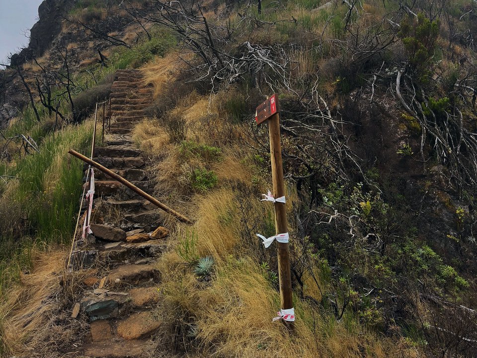
- Southern ascent from Fajã dos Cardos (Curral das Freiras): A steep, steady climb on stone-pitched mountain steps winding up the northern wall of the Curral das Freiras cauldron.
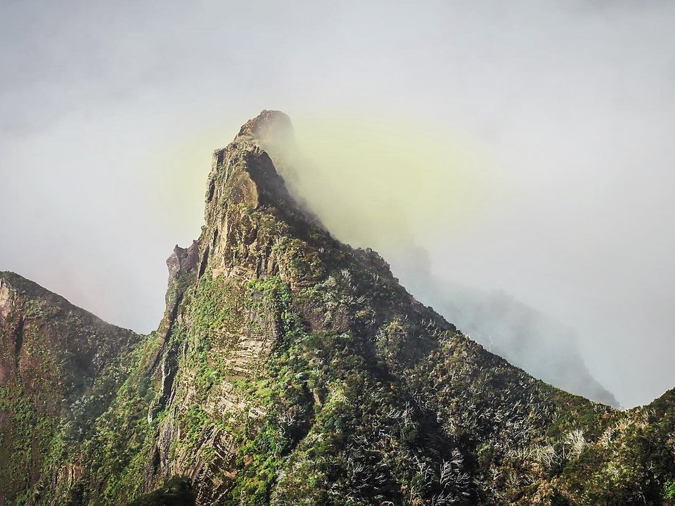
- High saddle near Boca das Torrinhas: At the top of the pass, PR 2 touches the high ridge where PR 1.3 Vereda da Encumeada runs west toward Encumeada (note that PR 1.3 east toward Pico Ruivo is listed closed on the 2 October 2026 table).
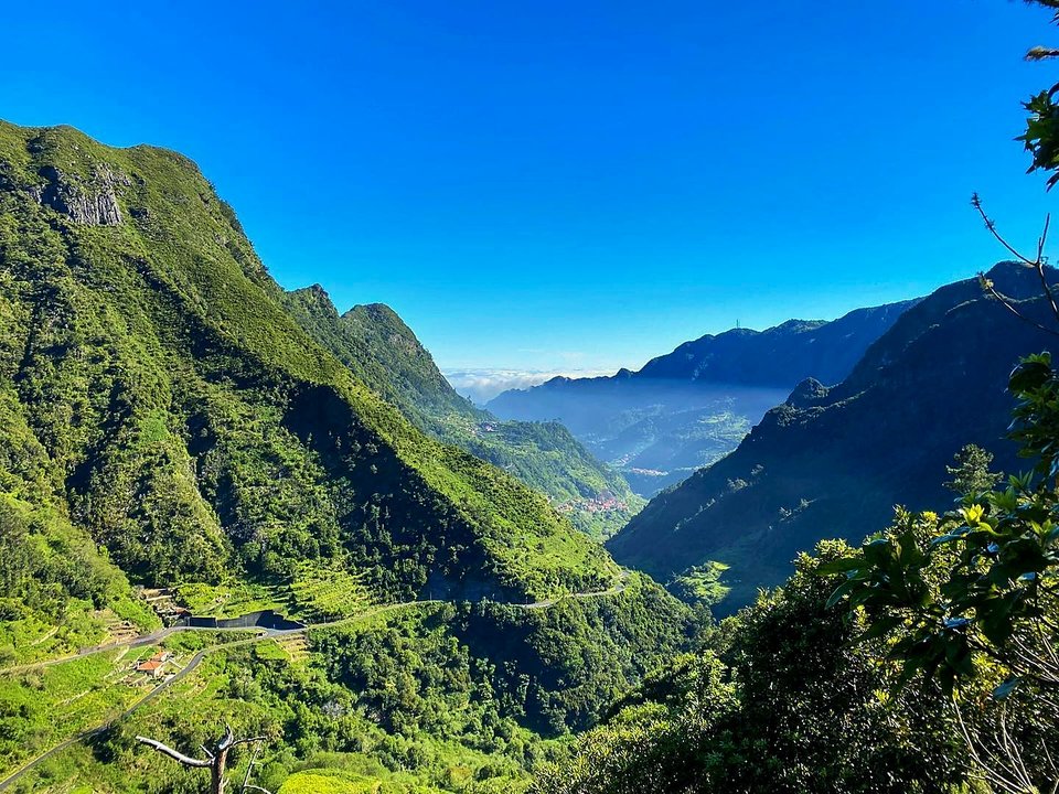
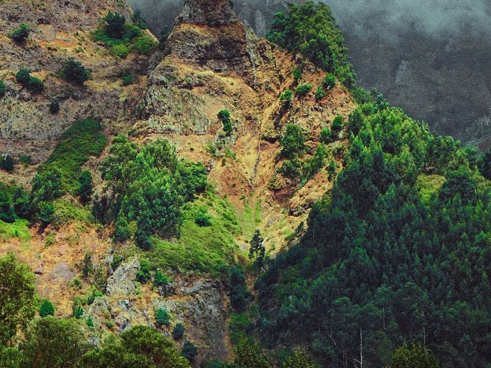
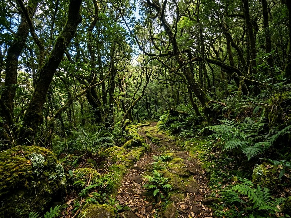
- Northern descent into Lombo do Urzal (Boaventura): From the pass, the path drops steeply through shaded laurel forest and follows an old levada section down to the rural road end at Lombo do Urzal (where the unclassified Lombo do Urzal to Poço das Casas walk also begins).
Gear, weather, and before you go
Because you cross from the sunnier southern cauldron over an exposed mountain saddle into the humid northern cloud forest, pack warm windproof and waterproof layers, full water and food supplies, and sturdy boots with ankle support. The IFCN fee FAQ lists €4.50 per person for one classified route other than PR 1. Residents of the region, children aged 12 or under, and covered disability cases do not pay the fee and still need a reservation; see PR trail fees and reservation rules on Madeira. This site does not publish a live forecast. Source: Percursos pedestres classificados, table updated 2 October 2026, read here on 12 October 2026. The fee figures are from the IFCN fee FAQ.
Specifications & facts
- Type
- PR route
- Area
- Curral das Freiras – Boaventura
- Difficulty
- Hard (Mountain Pass Crossing)
- Distance
- 10.3 km
- Time
- 4 h 00 min – 4 h 45 min
- Elevation
- +770 m / -960 m (640 m – 1,412 m – 450 m)
- Start
- Curral das Freiras
- Finish
- Boaventura
- Return
- Finishes at another trailhead (transfer needed)
- Fee
- €4.50
Authentic Post-Hike Hospitality
Trailhead & Village Refuel Radar
Nothing defines Madeiran hiking culture more authentically than gathering at a rustic mountain bar or fisherman's tasca right after the trek. Verified local venues within minutes of the finish:
Restaurante São Cristóvão
Field photographs along the channel